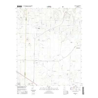
2014 Map of Danville
USGS Topo · Published 2014About this map
Danville serves as a central hub in this rural landscape of northern Alabama, positioned near the border of Lawrence Co and Morgan Co. The community is surrounded by family-named landmarks and cemeteries that provide a deep sense of local history, including Puckett Cem, Stovall Cem, and O'Neal Cem. To the north, the small settlements of Pumpkin Center and Neel are connected by a network of local roads such as Danville Rd and Neel School Rd.
Find a feature on this map
109 named features on this map. Tap any name to fly to it.
Don’t see what you’re looking for? This feature index may not catch every label — zoom into the map to look around manually.
Map Details
Editions of this 2014 Danville Map
This is the sole edition of this map. No revisions or reprints were ever made.
Other maps of this area

1888 · Cullman
USGS Topo · 1:125,000

1888 · Huntsville
USGS Topo · 1:125,000

1892 · Cullman
USGS Topo · 1:125,000

1892 · Huntsville
USGS Topo · 1:125,000

1927 · Falkville
USGS Topo · 1:24,000

1935 · Upshaw
USGS Topo · 1:24,000

1935 · Danville
USGS Topo · 1:48,000

1935 · Oakville
USGS Topo · 1:24,000

1936 · Caddo
USGS Topo · 1:24,000

1936 · Mc Kendry
USGS Topo · 1:24,000