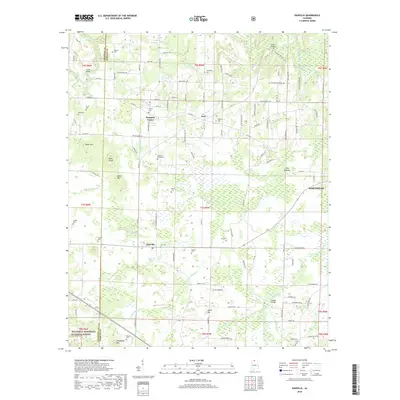
2018 Map of Danville
USGS Topo · Published 2018About this map
Danville and Neel sit at the center of this rural Morgan County landscape, where the agricultural flats of Long Bottoms meet the rising elevations of the southern Appalachians. The terrain is defined by a series of distinct peaks including Owen Mtn, Bald Knob, and Isabel Mtn, which overlook a network of small watercourses such as No Business Cr and Crowdaboot Cr. To the southwest, the boundary of the William B. Bankhead National Forest begins near Friendship Mtn, marking a transition into more heavily timbered land.
Find a feature on this map
124 named features on this map. Tap any name to fly to it.
Don’t see what you’re looking for? This feature index may not catch every label — zoom into the map to look around manually.
Map Details
Editions of this 2018 Danville Map
This is the sole edition of this map. No revisions or reprints were ever made.
Other maps of this area

1888 · Cullman
USGS Topo · 1:125,000

1888 · Huntsville
USGS Topo · 1:125,000

1892 · Cullman
USGS Topo · 1:125,000

1892 · Huntsville
USGS Topo · 1:125,000

1927 · Falkville
USGS Topo · 1:24,000

1935 · Upshaw
USGS Topo · 1:24,000

1935 · Danville
USGS Topo · 1:48,000

1935 · Oakville
USGS Topo · 1:24,000

1936 · Caddo
USGS Topo · 1:24,000

1936 · Mc Kendry
USGS Topo · 1:24,000