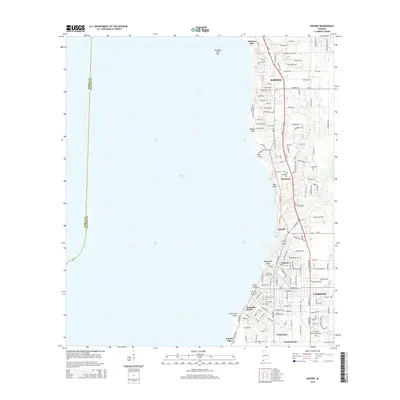
2014 Map of Daphne
USGS Topo · Published 2014About this map
The eastern shore of Mobile Bay is defined by a series of coastal settlements and dramatic landforms in this Baldwin County survey. Residential growth is evident across Daphne and Fairhope, linked by a network of local roads such as Daphne Ave and Whispering Pines Rd. The shoreline is punctuated by notable geological features, including Devils Hole, Red Bluff, and the steep ravines of Big Mouth Gully and Stack Gully.
Find a feature on this map
87 named features on this map. Tap any name to fly to it.
Don’t see what you’re looking for? This feature index may not catch every label — zoom into the map to look around manually.
Map Details
Editions of this 2014 Daphne Map
This is the sole edition of this map. No revisions or reprints were ever made.
Other maps of this area

1921 · Point Clear
USGS Topo · 1:62,500

1921 · Fairhope
USGS Topo · 1:62,500

1921 · Delchamps
USGS Topo · 1:62,500

1922 · Mobile
USGS Topo · 1:62,500

1939 · Daphne
USGS Topo · 1:31,680

1940 · Silverhill
USGS Topo · 1:31,680

1940 · Hollingers Island
USGS Topo · 1:31,680

1940 · Mobile
USGS Topo · 1:31,680

1940 · Mobile
USGS Topo · 1:62,500

1941 · Daphne
USGS Topo · 1:31,680