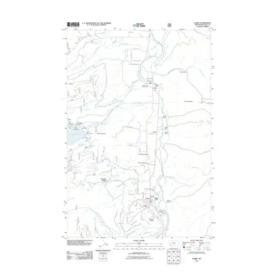
2011 Map of Darby
USGS Topo · Published 2011About this map
Darby serves as a central hub in the Bitterroot Valley, with its Darby Post Office and Darby Vol Fire Dept supporting the local community. The landscape is defined by the Bitterroot River, which flows northward past settlements like Como and Gorus. To the west, the massive reservoir of Lake Como is a prominent feature, managed by the Como Lake Dam and surrounded by recreational sites including the Lake Como Campground and Rock Creek Horse Camp. The map reveals a transition from the valley floor to the forested foothills, where numerous gulches such as Overturf Gulch and McQuirk Gulch drain into the main river system. Local genealogy and history are anchored by the Lone Pine Cemetery and the presence of established residential areas like University Heights and Holtet Court.
Find a feature on this map
78 named features on this map. Tap any name to fly to it.
Don’t see what you’re looking for? This feature index may not catch every label — zoom into the map to look around manually.
Map Details
Editions of this 2011 Darby Map
This is the sole edition of this map. No revisions or reprints were ever made.
Other maps of this area

1901 · Hamilton
USGS Topo · 1:125,000

1956 · Elk City
USGS Topo · 1:250,000

1956 · Hamilton
USGS Topo · 1:250,000

1959 · Hamilton
USGS Topo · 1:250,000

1960 · Elk City
USGS Topo · 1:250,000

1960 · Hamilton
USGS Topo · 1:250,000

1964 · Hamilton
USGS Topo · 1:250,000

1964 · Hamilton South
USGS Topo · 1:24,000

1964 · Burnt Ridge
USGS Topo · 1:24,000

1964 · Darby
USGS Topo · 1:24,000