
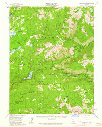
1956 Map of Dardanelles Cone
USGS Topo · Published 1959About this map
The Middle Fork Stanislaus River carves through the heart of the high country, serving as a corridor for recreational development in the mid-1950s. This period shows a landscape transitioning into a dedicated alpine retreat, anchored by the Dardanelle PO and Douglas Resort. The proliferation of summer camps, such as the Sierra Girl Scout Camp, Sequoia Girl Scout Camp, and a YMCA Camp, reflects a post-war emphasis on organized youth recreation in the Stanislaus National Forest.
Find a feature on this map
111 named features on this map. Tap any name to fly to it.
Don’t see what you’re looking for? This feature index may not catch every label — zoom into the map to look around manually.
Map Details
Editions of this 1956 Dardanelles Cone Map
3 editions found
Other maps of this area

1889 · Pyramid Peak
USGS Topo · 1:125,000

1889 · Markleeville
USGS Topo · 1:125,000

1891 · Markleeville
USGS Topo · 1:125,000

1891 · Big Trees
USGS Topo · 1:125,000

1891 · Pyramid Peak
USGS Topo · 1:125,000

1893 · Markleeville
USGS Topo · 1:125,000

1894 · Big Trees
USGS Topo · 1:125,000

1895 · Pyramid Peak
USGS Topo · 1:125,000

1896 · Dardanelles
USGS Topo · 1:125,000

1896 · Pyramid Peak
USGS Topo · 1:125,000