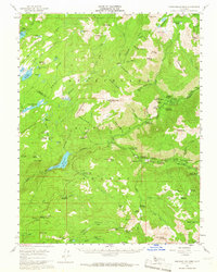
1956 Map of Dardanelles Cone
USGS Topo · Published 1966About this map
The Dardanelles and the prominent Dardanelles Cone dominate this high Sierra landscape, marking a terrain of massive volcanic formations and deep river canyons. The map records the mid-century infrastructure of the Stanislaus National Forest, showing a network of specialized mountain camps such as the Sierra Girl Scout Camp, YMCA Camp, and Liahona Camp. The Middle Fork Stanislaus River is central to the area's development, evidenced by the Donnells Reservoir and its associated Intake Tunnel and Gaging Sta.
Find a feature on this map
111 named features on this map. Tap any name to fly to it.
Don’t see what you’re looking for? This feature index may not catch every label — zoom into the map to look around manually.
Map Details
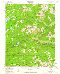
Editions of this 1956 Dardanelles Cone Map
3 editions found

Other maps of this area

1889 · Pyramid Peak
USGS Topo · 1:125,000

1889 · Markleeville
USGS Topo · 1:125,000

1891 · Markleeville
USGS Topo · 1:125,000

1891 · Big Trees
USGS Topo · 1:125,000

1891 · Pyramid Peak
USGS Topo · 1:125,000

1893 · Markleeville
USGS Topo · 1:125,000

1894 · Big Trees
USGS Topo · 1:125,000

1895 · Pyramid Peak
USGS Topo · 1:125,000

1896 · Dardanelles
USGS Topo · 1:125,000

1896 · Pyramid Peak
USGS Topo · 1:125,000