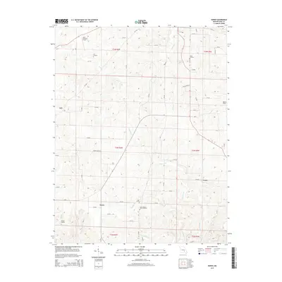
2015 Map of Darien
USGS Topo · Published 2015About this map
The Darien and Jack communities occupy this portion of Dent County, defined by a network of rural routes and creek valleys. Family history is well-preserved across the landscape at the Stagner Cemetery, Love Cemetery, and Cage Cemetery, while the Corinth Baptist Church Cemetery serves as a central landmark for the southern portion of the quadrangle. The terrain is marked by hydrological features including the Welch Sinks and the winding course of Spring Cr, which flows northward through the eastern sections. Salem Memorial Airport occupies the northwestern corner, representing a modern anchor in an otherwise agricultural and timbered region. The drainage patterns of Gladden Cr and Halbrook Br illustrate the complex topography that historically dictated the placement of homesteads and early roads in this part of the Ozarks.
Find a feature on this map
63 named features on this map. Tap any name to fly to it.
Don’t see what you’re looking for? This feature index may not catch every label — zoom into the map to look around manually.
Map Details
Editions of this 2015 Darien Map
This is the sole edition of this map. No revisions or reprints were ever made.
Other maps of this area

1932 · Cedar Grove
USGS Topo · 1:48,000

1941 · Salem
USGS Topo · 1:62,500

1941 · Stone Hill
USGS Topo · 1:62,500

1945 · Salem
USGS Topo · 1:62,500

1945 · Stone Hill
USGS Topo · 1:62,500

1945 · Round Spring
USGS Topo · 1:62,500

1947 · Sinkin
USGS Topo · 1:48,000

1949 · Round Spring
USGS Topo · 1:62,500

1949 · Rolla
USGS Topo · 1:250,000

1951 · Montauk
USGS Topo · 1:24,000