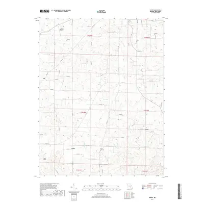
2017 Map of Darien
USGS Topo · Published 2017About this map
Salem Memorial Airport occupies the northwestern corner of this Dent County landscape, marking a modern transition in a region historically defined by its hollows and springs. The terrain is characterized by the winding headwaters of Spring Cr, Halbrook Br, and Gladden Cr, which carve through the Ozark topography near the small communities of Jack, Darien, and Custer. Local heritage is concentrated around several family and community burial sites, including Love Cem, Stagnier Cem, and the Corinth Baptist Church Cem. The road network, comprising State Highways F, HH, and K, connects these rural settlements, while names like Inman Hollow suggest a long history of family ties to the specific drainage basins and ridges of the area. This survey provides a clear view of the mid-20th-century rural infrastructure before further consolidation of modern parcel lines.
Find a feature on this map
72 named features on this map. Tap any name to fly to it.
Don’t see what you’re looking for? This feature index may not catch every label — zoom into the map to look around manually.
Map Details
Editions of this 2017 Darien Map
This is the sole edition of this map. No revisions or reprints were ever made.
Other maps of this area

1932 · Cedar Grove
USGS Topo · 1:48,000

1941 · Salem
USGS Topo · 1:62,500

1941 · Stone Hill
USGS Topo · 1:62,500

1945 · Salem
USGS Topo · 1:62,500

1945 · Stone Hill
USGS Topo · 1:62,500

1945 · Round Spring
USGS Topo · 1:62,500

1947 · Sinkin
USGS Topo · 1:48,000

1949 · Round Spring
USGS Topo · 1:62,500

1949 · Rolla
USGS Topo · 1:250,000

1951 · Montauk
USGS Topo · 1:24,000