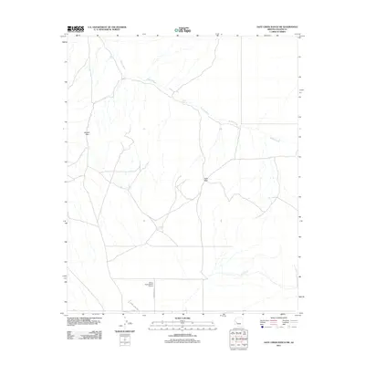
2011 Map of Date Creek Ranch SW
USGS Topo · Published 2011About this map
Bullard Wash defines the drainage patterns of this arid landscape in Yavapai County, cutting through a region where water management is central to the land's utility. The presence of numerous named catchments, such as Eight Tank, Sixteen Tank, and Harquahala Tank, indicates the area's continued use for livestock or land management. Transportation is sparse, anchored by the Alamo Cutoff Rd and a corridor marked as 6 Powerline Rd, suggesting a landscape of utility and transit rather than dense settlement.
Find a feature on this map
13 named features on this map. Tap any name to fly to it.
Don’t see what you’re looking for? This feature index may not catch every label — zoom into the map to look around manually.
Map Details
Editions of this 2011 Date Creek Ranch SW Map
This is the sole edition of this map. No revisions or reprints were ever made.
Other maps of this area

1923 · Signal
USGS Topo · 1:250,000

1942 · Signal
USGS Topo · 1:250,000

1942 · Vicksburg
USGS Topo · 1:250,000

1950 · Prescott
USGS Topo · 1:250,000

1954 · Prescott
USGS Topo · 1:250,000

1954 · Phoenix
USGS Topo · 1:250,000

1957 · Phoenix
USGS Topo · 1:250,000

1958 · Prescott
USGS Topo · 1:250,000

1958 · Phoenix
USGS Topo · 1:250,000

1959 · Prescott
USGS Topo · 1:250,000