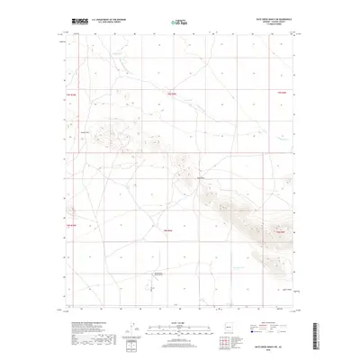
2018 Map of Date Creek Ranch SW
USGS Topo · Published 2018About this map
Flying Dare's Ranch Airport serves as a lone human-made landmark in this arid portion of Aguila Valley. The landscape is defined by the drainage patterns of Bullard Wash and a series of water management features including Holder Tank, East Tank, and Harcovar Tank. These reservoirs suggest the continued importance of water infrastructure for ranching and land use in a region primarily shaped by desert terrain and seasonal flow. Navigation through the rising elevations is marked by natural corridors like Bullard Pass and Rudy Pass, which provide passage between the drainage basins. Surface transport is limited to isolated tracks such as Rider Rd, reflecting the remote and sparsely populated character of the Yavapai and Maricopa county borderlands during this recent survey.
Find a feature on this map
18 named features on this map. Tap any name to fly to it.
Don’t see what you’re looking for? This feature index may not catch every label — zoom into the map to look around manually.
Map Details
Editions of this 2018 Date Creek Ranch SW Map
This is the sole edition of this map. No revisions or reprints were ever made.
Other maps of this area

1923 · Signal
USGS Topo · 1:250,000

1942 · Signal
USGS Topo · 1:250,000

1942 · Vicksburg
USGS Topo · 1:250,000

1950 · Prescott
USGS Topo · 1:250,000

1954 · Prescott
USGS Topo · 1:250,000

1954 · Phoenix
USGS Topo · 1:250,000

1957 · Phoenix
USGS Topo · 1:250,000

1958 · Prescott
USGS Topo · 1:250,000

1958 · Phoenix
USGS Topo · 1:250,000

1959 · Prescott
USGS Topo · 1:250,000