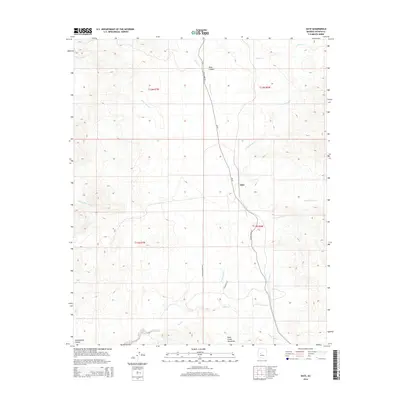
2014 Map of Date
USGS Topo · Published 2014About this map
Date sits as a primary point of reference in this arid landscape of western Yavapai County, where the topography is defined by the high elevations of the Date Creek Mountains. The area's complex drainage system is centered on the central artery of Date Cr, joined by its significant tributaries including N Fork Date Cr and S Fork Date Cr. To the northwest, the terrain drops into Black Canyon, while Black Mesa Wash carves through the western slopes. The map reveals a network of rural routes such as S Date Creek Rd and S Stetson Ranch Rd, which provide access to these remote desert canyonlands. This 2014 survey documents the enduring physical character of the Arizona backcountry, from the deep incisions of Cottonwood Canyon to the seasonal watercourses of Waterman Cr and Lawler Cr.
Find a feature on this map
20 named features on this map. Tap any name to fly to it.
Don’t see what you’re looking for? This feature index may not catch every label — zoom into the map to look around manually.
Map Details
Editions of this 2014 Date Map
This is the sole edition of this map. No revisions or reprints were ever made.
Other maps of this area

1887 · Prescott
USGS Topo · 1:250,000

1892 · Prescott
USGS Topo · 1:250,000

1903 · Congress
USGS Topo · 1:125,000

1904 · Congress
USGS Topo · 1:125,000

1923 · Signal
USGS Topo · 1:250,000

1942 · Signal
USGS Topo · 1:250,000

1950 · Prescott
USGS Topo · 1:250,000

1954 · Prescott
USGS Topo · 1:250,000

1958 · Prescott
USGS Topo · 1:250,000

1959 · Prescott
USGS Topo · 1:250,000