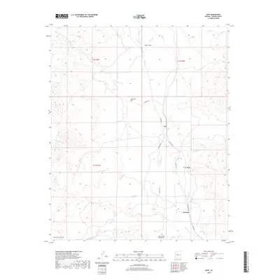
2018 Map of Date
USGS Topo · Published 2018About this map
The high desert landscape of Yavapai County is defined by complex drainages and sparse settlements in this modern topographic record. Small outposts like Date and Hawkins sit within a network of ephemeral waterways, including Waterman Cr and Cottonwood Cr, which carve through the arid terrain. The northern portion of the map is dominated by the steep relief of Black Canyon, while the southern reaches are marked by the Date Creek Mountains.
Find a feature on this map
25 named features on this map. Tap any name to fly to it.
Don’t see what you’re looking for? This feature index may not catch every label — zoom into the map to look around manually.
Map Details
Editions of this 2018 Date Map
This is the sole edition of this map. No revisions or reprints were ever made.
Other maps of this area

1887 · Prescott
USGS Topo · 1:250,000

1892 · Prescott
USGS Topo · 1:250,000

1903 · Congress
USGS Topo · 1:125,000

1904 · Congress
USGS Topo · 1:125,000

1923 · Signal
USGS Topo · 1:250,000

1942 · Signal
USGS Topo · 1:250,000

1950 · Prescott
USGS Topo · 1:250,000

1954 · Prescott
USGS Topo · 1:250,000

1958 · Prescott
USGS Topo · 1:250,000

1959 · Prescott
USGS Topo · 1:250,000