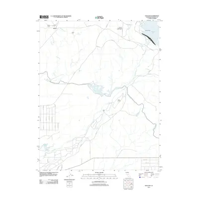
2012 Map of Daulton
USGS Topo · Published 2012About this map
The Fresno River meanders through this portion of Madera County, anchoring a landscape shaped by agricultural enterprise and water management. Large landholdings such as the Adobe Ranch, Daulton Ranch, and the Circle Dot Ranch define the rural character of the region north of the settlement of Daulton. Significant water infrastructure is evident in the presence of the Madera Canal, which cuts through the eastern terrain, and the Madera Equalization Reservoir, which regulates flows near the river's center course.
Find a feature on this map
40 named features on this map. Tap any name to fly to it.
Don’t see what you’re looking for? This feature index may not catch every label — zoom into the map to look around manually.
Map Details
Editions of this 2012 Daulton Map
This is the sole edition of this map. No revisions or reprints were ever made.
Other maps of this area

1912 · Mariposa
USGS Topo · 1:125,000

1919 · Raynor Creek
USGS Topo · 1:31,680

1919 · Little Table Mountain
USGS Topo · 1:31,680

1920 · Kismet
USGS Topo · 1:31,680

1921 · Daulton
USGS Topo · 1:31,680

1922 · Lanes Bridge
USGS Topo · 1:31,680

1922 · Gregg
USGS Topo · 1:31,680

1922 · Madera
USGS Topo · 1:31,680

1942 · Raymond
USGS Topo · 1:62,500

1942 · Daulton
USGS Topo · 1:24,000