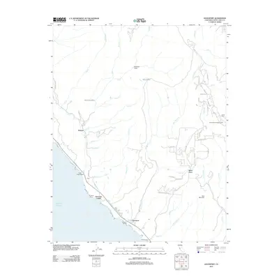
2012 Map of Davenport
USGS Topo · Published 2012About this map
Davenport and the surrounding Santa Cruz coast are defined by the meeting of the Pacific shoreline and the steep coastal mountains. This 2012 survey shows the industrial and agricultural character of the region, including Cement Plant Rd and the Big Creek Powerhouse. The landscape is etched with numerous steep drainages such as Deadman Gulch and San Vicente Cr, which flow from the high ridges of Bald Mountain down toward Scott Creek Beach.
Find a feature on this map
63 named features on this map. Tap any name to fly to it.
Don’t see what you’re looking for? This feature index may not catch every label — zoom into the map to look around manually.
Map Details
Editions of this 2012 Davenport Map
This is the sole edition of this map. No revisions or reprints were ever made.
Other maps of this area

1902 · Santa Cruz
USGS Topo · 1:125,000

1940 · Ano Nuevo
USGS Topo · 1:62,500

1941 · Ano Nuevo Pt.
USGS Topo · 1:62,500

1942 · Ano Nuevo
USGS Topo · 1:62,500

1947 · San Francisco
USGS Topo · 1:250,000

1948 · Santa Cruz
USGS Topo · 1:250,000

1948 · San Francisco
USGS Topo · 1:250,000

1948 · Ano Nuevo
USGS Topo · 1:62,500
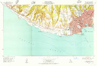
1954 · Santa Cruz
USGS Topo · 1:24,000

1955 · San Francisco
USGS Topo · 1:250,000