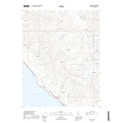
2018 Map of Davenport
USGS Topo · Published 2018About this map
The coastal hamlet of Davenport sits at the base of the Santa Cruz Mountains, where the industrial legacy of Cement Plant Rd meets the Pacific shore. This 2018 survey documents a landscape of dramatic elevation changes, from the sea-level wetlands of Scott Creek Marsh to the heights of Ben Lomond Mtn and Bald Mtn. The settlement pattern reflects the area's geography, with the inland community of Bonny Doon nestled among ridges and the private Bonny Doon Airport.
Find a feature on this map
82 named features on this map. Tap any name to fly to it.
Don’t see what you’re looking for? This feature index may not catch every label — zoom into the map to look around manually.
Map Details
Editions of this 2018 Davenport Map
This is the sole edition of this map. No revisions or reprints were ever made.
Other maps of this area

1902 · Santa Cruz
USGS Topo · 1:125,000

1940 · Ano Nuevo
USGS Topo · 1:62,500

1941 · Ano Nuevo Pt.
USGS Topo · 1:62,500

1942 · Ano Nuevo
USGS Topo · 1:62,500

1947 · San Francisco
USGS Topo · 1:250,000

1948 · Santa Cruz
USGS Topo · 1:250,000

1948 · San Francisco
USGS Topo · 1:250,000

1948 · Ano Nuevo
USGS Topo · 1:62,500
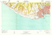
1954 · Santa Cruz
USGS Topo · 1:24,000

1955 · San Francisco
USGS Topo · 1:250,000