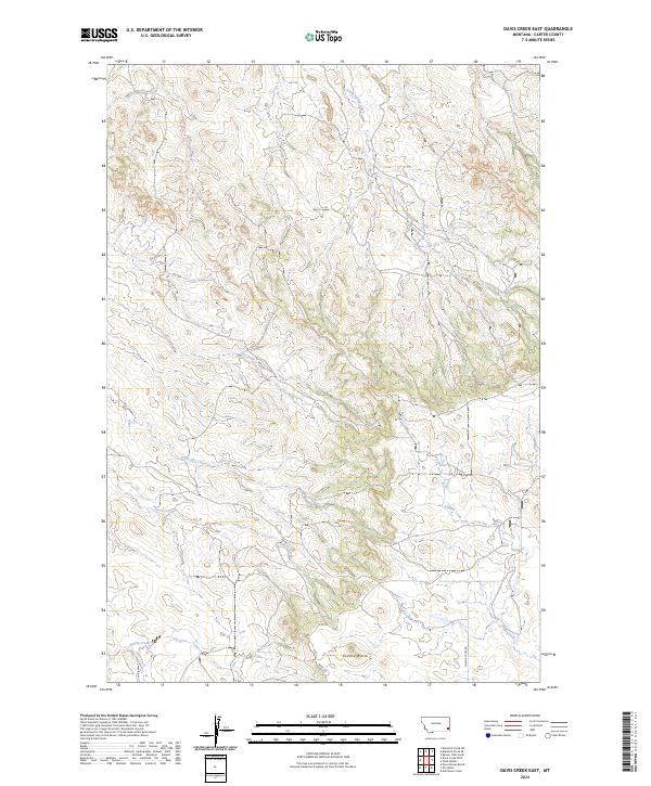
2024 Map of Davis Creek East
USGS Topo · Published 2024About this map
Saddle Butte rises as a prominent landmark in this drainage-rich section of Carter County, where a network of seasonal watercourses defines the land's character. The landscape is carved by the headwaters of South Spring Creek and Whitetail Creek in the north, while the southern reaches are dominated by Davis Creek and the meandering path of Stump Creek. This 2024 survey captures the persistence of traditional land divisions through the Public Land Survey System, including t1s r56e, in a region where travel is still dictated by the terrain. Remote access is provided by unpaved routes like Ridge Rd and Chalk Buttes Rd, which navigate the divides between South Dry Creek and Cabin Creek, reflecting the enduring rural infrastructure of the Montana plains.
Find a feature on this map
14 named features on this map. Tap any name to fly to it.
Don’t see what you’re looking for? This feature index may not catch every label — zoom into the map to look around manually.
Map Details
Editions of this 2024 Davis Creek East Map
This is the sole edition of this map. No revisions or reprints were ever made.
Other maps of this area

1954 · Ekalaka
USGS Topo · 1:250,000

1956 · Ekalaka
USGS Topo · 1:250,000

1958 · Ekalaka
USGS Topo · 1:250,000

1965 · Ekalaka
USGS Topo · 1:250,000

1979 · W L Butte
USGS Topo · 1:24,000

1979 · Dutchman Creek
USGS Topo · 1:24,000

1979 · Blacktail Creek SE
USGS Topo · 1:24,000

1979 · Blacktail Creek SW
USGS Topo · 1:24,000

1979 · Beaver Flats South
USGS Topo · 1:24,000

1979 · Chalk Buttes
USGS Topo · 1:24,000