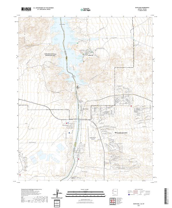
2021 Map of Davis Dam
USGS Topo · Published 2021About this map
The Colorado River corridor defines this modern survey, where the massive engineering of the Davis Dam holds back the waters of Lake Mohave. This desert landscape is split by the Nevada Arizona state line, with the expanding residential blocks of Bullhead City and the Laughlin/Bullhead International Airport occupying the eastern terrace. Along the shoreline, recreational development is evident at Katherine Landing and numerous named inlets such as Telephone Cove Arizona - South and Cabinsite Cove.
Find a feature on this map
121 named features on this map. Tap any name to fly to it.
Don’t see what you’re looking for? This feature index may not catch every label — zoom into the map to look around manually.
Map Details
Editions of this 2021 Davis Dam Map
This is the sole edition of this map. No revisions or reprints were ever made.
Other maps of this area

1886 · Camp Mohave
USGS Topo · 1:250,000

1892 · Camp Mohave
USGS Topo · 1:250,000

1926 · Mohave City
USGS Topo · 1:96,000

1942 · Camp Mohave
USGS Topo · 1:250,000

1947 · Kingman
USGS Topo · 1:250,000

1948 · Kingman
USGS Topo · 1:250,000

1950 · Davis Dam
USGS Topo · 1:62,500

1952 · Davis Dam
USGS Topo · 1:62,500

1954 · Kingman
USGS Topo · 1:250,000

1955 · Kingman
USGS Topo · 1:250,000