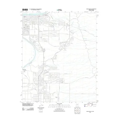
2011 Map of Davis Dam SE
USGS Topo · Published 2011About this map
The Colorado River defines the western edge of this desert landscape, anchoring a corridor of historical significance and modern development. Near the river's edge, the Hardyville Pioneer Cemetery and the site of Fort Mojave point to the area's mid-19th-century importance as a military outpost and a hub for travelers at Beales Crossing. These landmarks represent a time when the region served as a critical waypoint for westward expansion. By the early 21st century, the area had evolved into several distinct communities, including Riviera and Mohave Valley, while maintaining its aviation and recreational ties through Sun Valley Airport and the Chaparral Golf Course. The terrain to the east is shaped by drainage patterns like Montana Wash and Silver Creek, which cut through the arid valley floor toward the river, reflecting the local hydrology of the Mohave Valley region.
Find a feature on this map
104 named features on this map. Tap any name to fly to it.
Don’t see what you’re looking for? This feature index may not catch every label — zoom into the map to look around manually.
Map Details
Editions of this 2011 Davis Dam SE Map
This is the sole edition of this map. No revisions or reprints were ever made.
Other maps of this area

1886 · Camp Mohave
USGS Topo · 1:250,000

1892 · Camp Mohave
USGS Topo · 1:250,000

1903 · Needles
USGS Topo · 1:125,000

1904 · Needles Special
USGS Topo · 1:125,000

1926 · Mohave City
USGS Topo · 1:96,000

1942 · Camp Mohave
USGS Topo · 1:250,000

1947 · Kingman
USGS Topo · 1:250,000

1948 · Kingman
USGS Topo · 1:250,000

1950 · Davis Dam
USGS Topo · 1:62,500

1950 · Needles
USGS Topo · 1:62,500