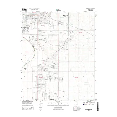
2014 Map of Davis Dam SE
USGS Topo · Published 2014About this map
The Colorado River defines the western edge of this desert landscape, marking the state boundary between Arizona and Nevada. Along its eastern banks, Bullhead City and Riviera show extensive suburban development, with a dense network of residential streets such as Marina Blvd and Riverview Dr extending into the Mojave Desert. This modern infrastructure contrasts with the area's deep historical roots, evidenced by the Hardyville Pioneer Cem and the site of Fort Mohave to the south.
Find a feature on this map
132 named features on this map. Tap any name to fly to it.
Don’t see what you’re looking for? This feature index may not catch every label — zoom into the map to look around manually.
Map Details
Editions of this 2014 Davis Dam SE Map
This is the sole edition of this map. No revisions or reprints were ever made.
Other maps of this area

1886 · Camp Mohave
USGS Topo · 1:250,000

1892 · Camp Mohave
USGS Topo · 1:250,000

1903 · Needles
USGS Topo · 1:125,000

1904 · Needles Special
USGS Topo · 1:125,000

1926 · Mohave City
USGS Topo · 1:96,000

1942 · Camp Mohave
USGS Topo · 1:250,000

1947 · Kingman
USGS Topo · 1:250,000

1948 · Kingman
USGS Topo · 1:250,000

1950 · Davis Dam
USGS Topo · 1:62,500

1950 · Needles
USGS Topo · 1:62,500