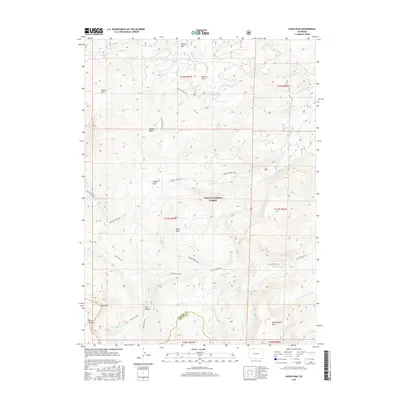
2016 Map of Davis Peak
USGS Topo · Published 2016About this map
Davis Peak stands as the geographic center of this high-elevation mountain landscape, situated at the boundary of Routt National Forest. The map documents a complex system of drainage and alpine lakes along the Park Range, where the headwaters of the Encampment River and the N Fork N Platte River begin their descent. High-altitude meadows or "parks" are a defining characteristic of this terrain, including Damfino Park, Buffalo Park, and Stump Park, which likely served as seasonal grazing or landmark areas for early travelers through the range.
Find a feature on this map
34 named features on this map. Tap any name to fly to it.
Don’t see what you’re looking for? This feature index may not catch every label — zoom into the map to look around manually.
Map Details
Editions of this 2016 Davis Peak Map
This is the sole edition of this map. No revisions or reprints were ever made.
Other maps of this area

1911 · Hahns Peak
USGS Topo · 1:125,000

1913 · Hahns Peak
USGS Topo · 1:125,000

1939 · Saratoga
USGS Topo · 1:125,000

1954 · Rawlins
USGS Topo · 1:250,000

1954 · Craig
USGS Topo · 1:250,000

1955 · Davis Peak
USGS Topo · 1:24,000

1955 · Mount Zirkel
USGS Topo · 1:24,000

1955 · Pearl
USGS Topo · 1:24,000
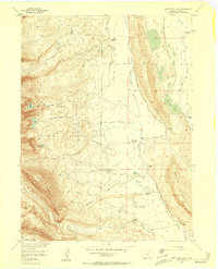
1956 · Boettcher Lake
USGS Topo · 1:24,000

1956 · Pearl
USGS Topo · 1:62,500