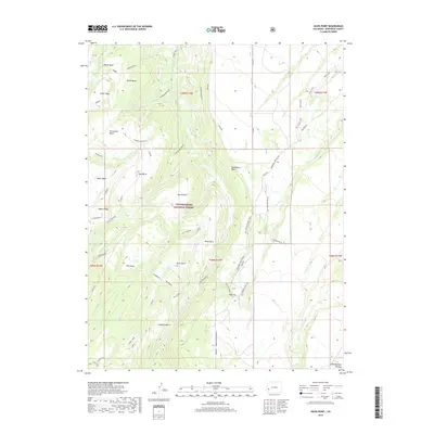
2019 Map of Davis Point
USGS Topo · Published 2019About this map
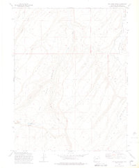
The Uncompahgre National Forest dominates this section of Montrose County, where the high drainage systems of the Uncompahgre Plateau carve deep basins and mesas. The map reveals a landscape defined by its complex hydrography, including the headwaters of Roubideau Creek and the isolated Moore Basin Lake. The presence of the Coal Bank area suggests the historical extractive possibilities of these ridges, while the naming of Davis Point and Goddard Bench indicates the footprint of early settlers or surveyors who first navigated this terrain. Evidence of modern land use is visible through recreational and access routes such as the Old Transfer Bike Trail and the network of forest service roads like Transfer Road and Old Transfer. This 2019 survey provides a clear view of how these topographic features, from Traver Mesa to Cushman Mesa, continue to shape the geography of western Colorado.
Find a feature on this map
83 named features on this map. Tap any name to fly to it.
Don’t see what you’re looking for? This feature index may not catch every label — zoom into the map to look around manually.
Map Details
Editions of this 2019 Davis Point Map
This is the sole edition of this map. No revisions or reprints were ever made.
Other maps of this area

1956 · Moab
USGS Topo · 1:250,000

1959 · Moab
USGS Topo · 1:250,000

1960 · Moab
USGS Topo · 1:250,000

1962 · Moab
USGS Topo · 1:250,000
1962 · Hoovers Corner
USGS Topo · 1:24,000

1964 · Moab
USGS Topo · 1:250,000

1965 · Moab
USGS Topo · 1:250,000
1973 · Camel Back
USGS Topo · 1:24,000
1973 · Ute
USGS Topo · 1:24,000
1973 · Dry Creek Basin
USGS Topo · 1:24,000