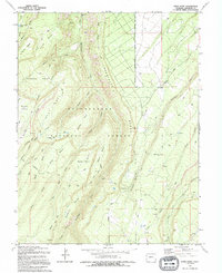
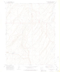
1994 Map of Davis Point
USGS Topo · Published 1994About this map
Uncompahgre National Forest dominates this section of the plateau, where the landscape is defined by a series of deep drainages and prominent mesas. The geography here is marked by the branching waters of Roubideau Creek and its many tributaries, including Bull Creek and Goddard Creek, which carve through Roubideau Bench and Goddard Bench. A significant historical remnant is the Old Railroad Grade running through the northern section of the map, tracing a path through Traver Basin and suggesting an era of industrial transport through these high basins.
Find a feature on this map
44 named features on this map. Tap any name to fly to it.
Don’t see what you’re looking for? This feature index may not catch every label — zoom into the map to look around manually.
Map Details
Editions of this 1994 Davis Point Map
This is the sole edition of this map. No revisions or reprints were ever made.
Other maps of this area

1956 · Moab
USGS Topo · 1:250,000

1959 · Moab
USGS Topo · 1:250,000

1960 · Moab
USGS Topo · 1:250,000

1962 · Moab
USGS Topo · 1:250,000
1962 · Hoovers Corner
USGS Topo · 1:24,000

1964 · Moab
USGS Topo · 1:250,000

1965 · Moab
USGS Topo · 1:250,000
1973 · Camel Back
USGS Topo · 1:24,000
1973 · Ute
USGS Topo · 1:24,000
1973 · Dry Creek Basin
USGS Topo · 1:24,000