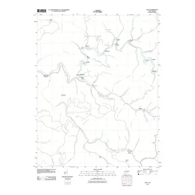
2011 Map of Davy
USGS Topo · Published 2011About this map
The Tug Fork and its many winding tributaries dictate the settlement pattern of this McDowell County landscape, where small communities like Davy and Twin Branch follow the narrow creek valleys. This rugged coal-country terrain is dotted with several active and legacy centers of local life, including the Coalwood Post Office and Hensley Post Office. For genealogists, the Iaeger Memorial Cemetery serves as a significant landmark near Roderfield.
Find a feature on this map
81 named features on this map. Tap any name to fly to it.
Don’t see what you’re looking for? This feature index may not catch every label — zoom into the map to look around manually.
Map Details
Editions of this 2011 Davy Map
This is the sole edition of this map. No revisions or reprints were ever made.
Other maps of this area

1891 · Tazewell
USGS Topo · 1:125,000

1891 · Oceana
USGS Topo · 1:125,000

1893 · Oceana
USGS Topo · 1:125,000

1895 · Tazewell
USGS Topo · 1:125,000

1897 · Tazewell
USGS Topo · 1:125,000

1898 · Oceana
USGS Topo · 1:125,000

1909 · Gilbert
USGS Topo · 1:48,000

1910 · Pineville
USGS Topo · 1:48,000

1910 · Iaeger
USGS Topo · 1:48,000

1912 · Gilbert
USGS Topo · 1:62,500