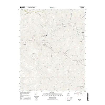
2014 Map of Davy
USGS Topo · Published 2014About this map
The Tug Fork and its labyrinth of steep Appalachian drainages define this portion of McDowell County, where a dense network of coal-country settlements like Davy, Marytown, and Roderfield follow the narrow valley floors. The landscape is marked by the industrial and civil engineering required to navigate this terrain, including the Twin Branch Tunnel and distinctive spans such as the Twin Branch Pony Truss Number 1 Bridge and the Big Sandy Truss Bridge.
Find a feature on this map
102 named features on this map. Tap any name to fly to it.
Don’t see what you’re looking for? This feature index may not catch every label — zoom into the map to look around manually.
Map Details
Editions of this 2014 Davy Map
This is the sole edition of this map. No revisions or reprints were ever made.
Other maps of this area

1891 · Tazewell
USGS Topo · 1:125,000

1891 · Oceana
USGS Topo · 1:125,000

1893 · Oceana
USGS Topo · 1:125,000

1895 · Tazewell
USGS Topo · 1:125,000

1897 · Tazewell
USGS Topo · 1:125,000

1898 · Oceana
USGS Topo · 1:125,000

1909 · Gilbert
USGS Topo · 1:48,000

1910 · Pineville
USGS Topo · 1:48,000

1910 · Iaeger
USGS Topo · 1:48,000

1912 · Gilbert
USGS Topo · 1:62,500