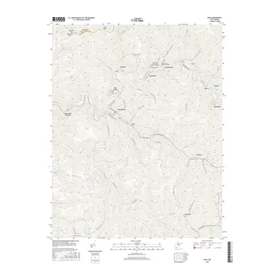
2016 Map of Davy
USGS Topo · Published 2016About this map
Coalwood and the winding course of the Tug Fork define this portion of the West Virginia coalfields, where steep hollows and narrow river bottoms dictate the placement of settlements and transport. The landscape is marked by a legacy of industrial infrastructure, evidenced by the Twin Branch Tunnel and specialized crossings like the Twin Branch Pony Truss Number 1 Bridge and Big Sandy Truss Bridge. These structures facilitated movement through the tight valleys of McDowell Co as the terrain rises toward Indian Ridge.
Find a feature on this map
96 named features on this map. Tap any name to fly to it.
Don’t see what you’re looking for? This feature index may not catch every label — zoom into the map to look around manually.
Map Details
Editions of this 2016 Davy Map
This is the sole edition of this map. No revisions or reprints were ever made.
Other maps of this area

1891 · Tazewell
USGS Topo · 1:125,000

1891 · Oceana
USGS Topo · 1:125,000

1893 · Oceana
USGS Topo · 1:125,000

1895 · Tazewell
USGS Topo · 1:125,000

1897 · Tazewell
USGS Topo · 1:125,000

1898 · Oceana
USGS Topo · 1:125,000

1909 · Gilbert
USGS Topo · 1:48,000

1910 · Pineville
USGS Topo · 1:48,000

1910 · Iaeger
USGS Topo · 1:48,000

1912 · Gilbert
USGS Topo · 1:62,500