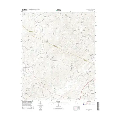
2014 Map of Dawsonville
USGS Topo · Published 2014About this map
The Etowah River snakes through this Georgia landscape, defining the topography between the seat of Dawsonville and the historic gold-mining area of Auraria. This survey details a transition from the developing residential corridors near Burtsboro to the more rural stretches surrounding Landrum and Dougherty. Family and local histories are preserved through the documentation of the Palmer Cem and Martin Cem, while institutional landmarks such as the Southern Catholic College and the Girl Scout Camp Echo Lake underscore the area's diverse land use. The map tracks numerous watercourses, including Shoal Creek and Russell Creek, flowing into the Etowah, alongside recreational and geographical markers like Blackburn State Park Lake and Whim Hill. The border between Lumpkin County and Dawson County cuts through the eastern portion of the sheet, providing a precise record of late-modern jurisdictional and property boundaries.
Find a feature on this map
152 named features on this map. Tap any name to fly to it.
Don’t see what you’re looking for? This feature index may not catch every label — zoom into the map to look around manually.
Map Details
Editions of this 2014 Dawsonville Map
This is the sole edition of this map. No revisions or reprints were ever made.
Other maps of this area

1886 · Dahlonega
USGS Topo · 1:125,000

1888 · Ellijay
USGS Topo · 1:125,000

1890 · Suwanee
USGS Topo · 1:125,000

1891 · Gainesville
USGS Topo · 1:125,000

1892 · Dahlonega
USGS Topo · 1:125,000

1892 · Ellijay
USGS Topo · 1:125,000

1894 · Suwanee
USGS Topo · 1:125,000

1896 · Dahlonega
USGS Topo · 1:125,000

1898 · Ellijay
USGS Topo · 1:125,000

1903 · Dahlonega
USGS Topo · 1:125,000