
Loading...
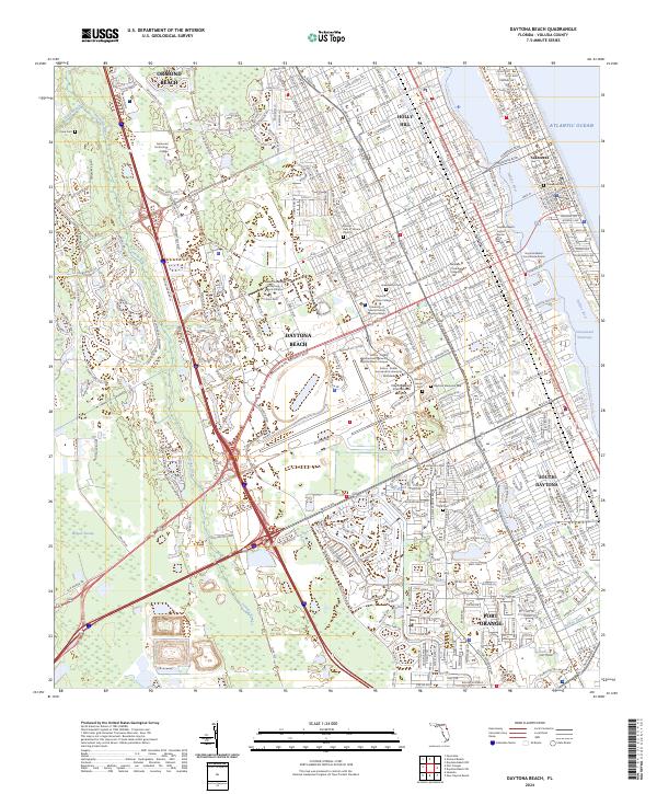
Loading map...1952 Map of Daytona Beach
USGS Topo · Published 1956About this map
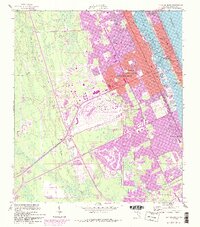
Daytona Beach serves as the focal point of this coastal landscape, situated between the Halifax River and the marshes of the Tomoka River. The urban core is well-established by the early 1950s, featuring landmarks such as Bethune-Cookman College and Mainland High Sch. The map illustrates the town's transition from the riverfront to the aviation-oriented expansion centered around the Daytona Beach Municipal Airport.
Find a feature on this map
38 named features on this map. Tap any name to fly to it.
Don’t see what you’re looking for? This feature index may not catch every label — zoom into the map to look around manually.
Map Details
Date Portrayed1952
Date Published1956
PublisherU.S. Geological Survey
Map TypeTopographic
Scale1:24000
Physical Dimensions22.9 x 26.8 inches
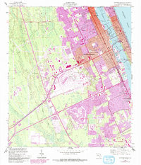
Editions of this 1952 Daytona Beach Map
7 editions found
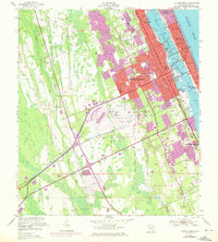
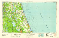
Historical Maps of Daytona Beach Through Time
6 maps found


Featured Locations
Source Details
SourceU.S. Geological Survey
CopyrightPublic Domain