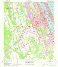
1952 Map of Daytona Beach
USGS Topo · Published 1981About this map
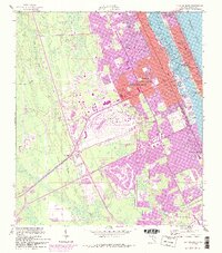
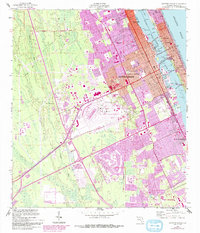
Daytona Beach serves as the focal point of this mid-century coastal survey, illustrating the rapid expansion of the Florida coastline before the era of modern development. The Atlantic shoreline is densely partitioned with labels like Seabreeze and Daytona Beach Shores, while the mainland side of the Halifax River shows a sophisticated urban infrastructure including Bethune-Cookman College and Halifax Hospital. The western interior is defined by a shift from the wetlands of the Tomoka River to significant modern installations, most notably the Daytona International Speedway and the adjacent Daytona Beach Regional Airport.
Find a feature on this map
39 named features on this map. Tap any name to fly to it.
Don’t see what you’re looking for? This feature index may not catch every label — zoom into the map to look around manually.
Map Details
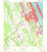
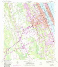
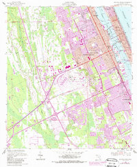
Editions of this 1952 Daytona Beach Map
7 editions found
Other maps of this area

1937 · Port Orange
USGS Topo · 1:48,000

1937 · Ormond
USGS Topo · 1:48,000

1943 · Port Orange
USGS Topo · 1:62,500

1944 · Ormond
USGS Topo · 1:62,500

1944 · Port Orange
USGS Topo · 1:62,500

1952 · Samsula
USGS Topo · 1:24,000

1952 · Daytona Beach
USGS Topo · 1:24,000

1954 · Daytona Beach
USGS Topo · 1:250,000

1956 · Port Orange
USGS Topo · 1:24,000

1956 · Favoretta
USGS Topo · 1:24,000