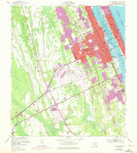
1952 Map of Daytona Beach
USGS Topo · Published 1972About this map
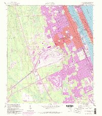
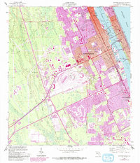
Daytona Beach stands at a significant moment of transition in this mid-century survey, revealing the rapid post-war expansion that defined the Florida coastline. The dense urban core and beachside developments like Seabreeze and Sunnyland Park are contrasted by the vast marshlands of the Tomoka River to the west. A notable insight found in the 1970 revisions is the massive footprint of the Daytona International Speedway, situated just west of the Daytona Beach Regional Airport, illustrating how large-scale automotive tourism began to reshape the landscape. Along the Halifax River, the infrastructure of the Intracoastal Waterway and various bridges, including the Seabreeze Bridge, connect the mainland to the iconic Atlantic shoreline. Educational and community anchors like Bethune-Cookman College and Mainland High Sch provide essential genealogical and local history context for the city's growth during this era.
Find a feature on this map
50 named features on this map. Tap any name to fly to it.
Don’t see what you’re looking for? This feature index may not catch every label — zoom into the map to look around manually.
Map Details
Editions of this 1952 Daytona Beach Map
7 editions found
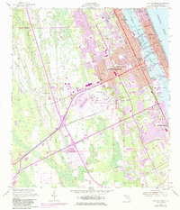
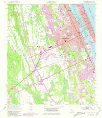
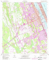
Other maps of this area

1937 · Port Orange
USGS Topo · 1:48,000

1937 · Ormond
USGS Topo · 1:48,000

1943 · Port Orange
USGS Topo · 1:62,500

1944 · Ormond
USGS Topo · 1:62,500

1944 · Port Orange
USGS Topo · 1:62,500

1952 · Samsula
USGS Topo · 1:24,000

1952 · Daytona Beach
USGS Topo · 1:24,000

1954 · Daytona Beach
USGS Topo · 1:250,000

1956 · Port Orange
USGS Topo · 1:24,000

1956 · Favoretta
USGS Topo · 1:24,000