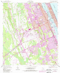
1952 Map of Daytona Beach
USGS Topo · Published 1988About this map
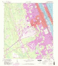
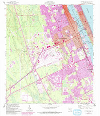
Daytona Beach occupies the center of this coastal study, positioned between the Atlantic Ocean and the Tomoka River. The landscape is defined by the Halifax River, which serves as a segment of the Intracoastal Waterway, spanned by the Fairview Main St Br and the South Br. This mid-century view captures the city during a period of significant land use diversification, seen in the large footprint of the Daytona Beach Regional Airport and the neighboring Daytona International Speedway.
Find a feature on this map
47 named features on this map. Tap any name to fly to it.
Don’t see what you’re looking for? This feature index may not catch every label — zoom into the map to look around manually.
Map Details
Editions of this 1952 Daytona Beach Map
7 editions found
Other maps of this area

1937 · Port Orange
USGS Topo · 1:48,000

1937 · Ormond
USGS Topo · 1:48,000

1943 · Port Orange
USGS Topo · 1:62,500

1944 · Ormond
USGS Topo · 1:62,500

1944 · Port Orange
USGS Topo · 1:62,500

1952 · Samsula
USGS Topo · 1:24,000

1952 · Daytona Beach
USGS Topo · 1:24,000

1954 · Daytona Beach
USGS Topo · 1:250,000

1956 · Port Orange
USGS Topo · 1:24,000

1956 · Favoretta
USGS Topo · 1:24,000