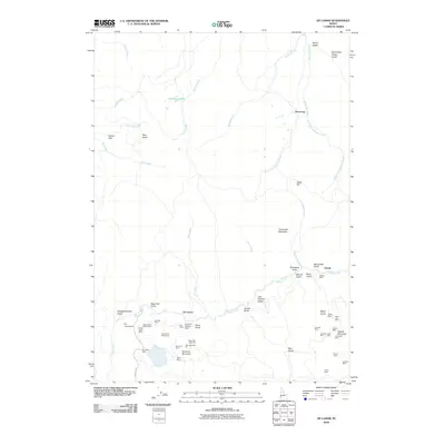
2010 Map of De Lamar
USGS Topo · Published 2010About this map
De Lamar and the neighboring settlements of Dewey and Democrat define the industrial and residential footprint of this Owyhee County mining district. The landscape is dominated by heavy extractive activity, centered around the massive DeLamar Mountain and Florida Mountain. This survey illustrates the modern scale of mining operations, featuring extensive pits like Glen Silver Pit Number 1 and Sommercamp Pit, alongside historical sites such as the Garfield Mine and Wagontown.
Find a feature on this map
61 named features on this map. Tap any name to fly to it.
Don’t see what you’re looking for? This feature index may not catch every label — zoom into the map to look around manually.
Map Details
Editions of this 2010 De Lamar Map
This is the sole edition of this map. No revisions or reprints were ever made.
Other maps of this area

1892 · Silver City
USGS Topo · 1:125,000

1894 · Silver City
USGS Topo · 1:125,000

1898 · Silver City
USGS Topo · 1:125,000

1955 · Jordan Valley
USGS Topo · 1:250,000

1955 · Boise
USGS Topo · 1:250,000

1957 · Jordan Valley
USGS Topo · 1:250,000

1958 · Boise
USGS Topo · 1:250,000

1958 · Jordan Valley
USGS Topo · 1:250,000

1962 · Boise
USGS Topo · 1:250,000

1965 · Triangle
USGS Topo · 1:62,500