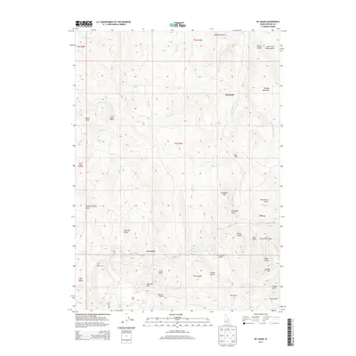
2013 Map of De Lamar
USGS Topo · Published 2013About this map
De Lamar sits deep in the Owyhee Mountains, a landscape defined by the legacies of Idaho's mining history. The terrain is marked by numerous named gulches and peaks that reflect the area's intensive nineteenth-century mineral exploration, including Booneville Gulch, Rich Gulch, and Silver City Range. To the south, DeLamar Mtn and Florida Mtn rise above the drainage of Jordan Creek, where the old Wagon Road traces the canyon floor towards Dewey.
Find a feature on this map
53 named features on this map. Tap any name to fly to it.
Don’t see what you’re looking for? This feature index may not catch every label — zoom into the map to look around manually.
Map Details
Editions of this 2013 De Lamar Map
This is the sole edition of this map. No revisions or reprints were ever made.
Other maps of this area

1892 · Silver City
USGS Topo · 1:125,000

1894 · Silver City
USGS Topo · 1:125,000

1898 · Silver City
USGS Topo · 1:125,000

1955 · Jordan Valley
USGS Topo · 1:250,000

1955 · Boise
USGS Topo · 1:250,000

1957 · Jordan Valley
USGS Topo · 1:250,000

1958 · Boise
USGS Topo · 1:250,000

1958 · Jordan Valley
USGS Topo · 1:250,000

1962 · Boise
USGS Topo · 1:250,000

1965 · Triangle
USGS Topo · 1:62,500