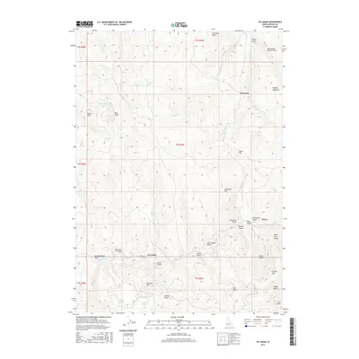
2017 Map of De Lamar
USGS Topo · Published 2017About this map
De Lamar and the mining-rich slopes of the Silver City Range dominate this 2017 survey of Owyhee County. The high-altitude landscape is deeply incised by a network of drainage gulches and canyons, including Rich Gulch, China Gulch, and Slaughterhouse Gulch, which historically supported the region's extraction industry. Significant peaks such as Florida Mtn, DeLamar Mtn, and Tennessee Mtn provide the topographical context for the area's development.
Find a feature on this map
53 named features on this map. Tap any name to fly to it.
Don’t see what you’re looking for? This feature index may not catch every label — zoom into the map to look around manually.
Map Details
Editions of this 2017 De Lamar Map
This is the sole edition of this map. No revisions or reprints were ever made.
Other maps of this area

1892 · Silver City
USGS Topo · 1:125,000

1894 · Silver City
USGS Topo · 1:125,000

1898 · Silver City
USGS Topo · 1:125,000

1955 · Jordan Valley
USGS Topo · 1:250,000

1955 · Boise
USGS Topo · 1:250,000

1957 · Jordan Valley
USGS Topo · 1:250,000

1958 · Boise
USGS Topo · 1:250,000

1958 · Jordan Valley
USGS Topo · 1:250,000

1962 · Boise
USGS Topo · 1:250,000

1965 · Triangle
USGS Topo · 1:62,500