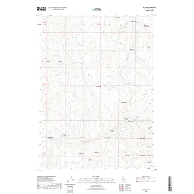
2020 Map of De Lamar
USGS Topo · Published 2020About this map
De Lamar and Dewey sit at the center of this high-elevation terrain in the Owyhee Mountains, where the landscape is defined by deep gulches and significant peaks. The map details a complex network of drainages including Jordan Creek, Succor Creek, and Reynolds Creek that carve through the Silver City Range. Prominent summits such as Florida Mountain, DeLamar Mountain, and Tennessee Mountain surround the old settlements, reflecting the region's mining-era geography.
Find a feature on this map
53 named features on this map. Tap any name to fly to it.
Don’t see what you’re looking for? This feature index may not catch every label — zoom into the map to look around manually.
Map Details
Editions of this 2020 De Lamar Map
This is the sole edition of this map. No revisions or reprints were ever made.
Other maps of this area

1892 · Silver City
USGS Topo · 1:125,000

1894 · Silver City
USGS Topo · 1:125,000

1898 · Silver City
USGS Topo · 1:125,000

1955 · Jordan Valley
USGS Topo · 1:250,000

1955 · Boise
USGS Topo · 1:250,000

1957 · Jordan Valley
USGS Topo · 1:250,000

1958 · Boise
USGS Topo · 1:250,000

1958 · Jordan Valley
USGS Topo · 1:250,000

1962 · Boise
USGS Topo · 1:250,000

1965 · Triangle
USGS Topo · 1:62,500