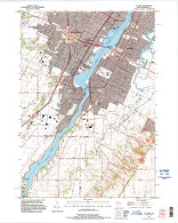
1992 Map of De Pere
USGS Topo · Published 1996About this map
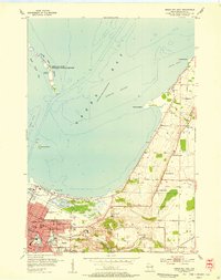
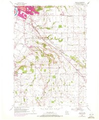
The Fox River serves as the central artery for this portion of Brown County, bisecting the growing communities of Ashwaubenon, Allouez, and De Pere. The landscape is a mix of dense suburban development and institutional landmarks, including the riverside campus of St Norbert College and the sprawling grounds of the State Reformatory. Local history is deeply embedded in the terrain, from the legacy of the Williams Grant to the preservation of industrial and transport history at the National Railroad Museum and Heritage Hill State Park.
Find a feature on this map
46 named features on this map. Tap any name to fly to it.
Don’t see what you’re looking for? This feature index may not catch every label — zoom into the map to look around manually.
Map Details
Editions of this 1992 De Pere Map
This is the sole edition of this map. No revisions or reprints were ever made.
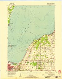
Other maps of this area

1954 · De Pere
USGS Topo · 1:62,500
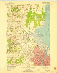
1954 · Green Bay West
USGS Topo · 1:24,000

1954 · Denmark
USGS Topo · 1:62,500
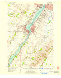
1954 · De Pere
USGS Topo · 1:24,000
1954 · New Franken
USGS Topo · 1:62,500
1954 · Green Bay East
USGS Topo · 1:24,000

1954 · Manitowoc
USGS Topo · 1:250,000
1954 · Bellevue
USGS Topo · 1:24,000

1954 · Green Bay
USGS Topo · 1:62,500

1955 · Green Bay
USGS Topo · 1:250,000