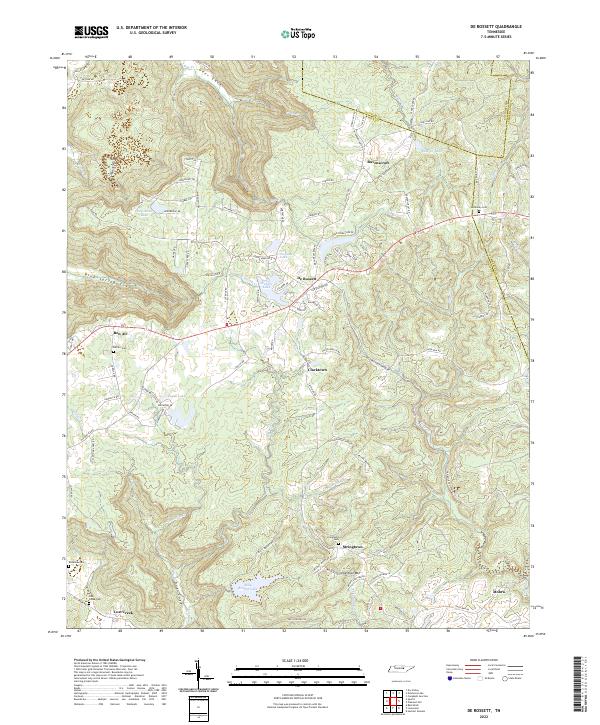
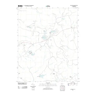
2022 Map of De Rossett
USGS Topo · Published 2022About this map
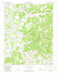
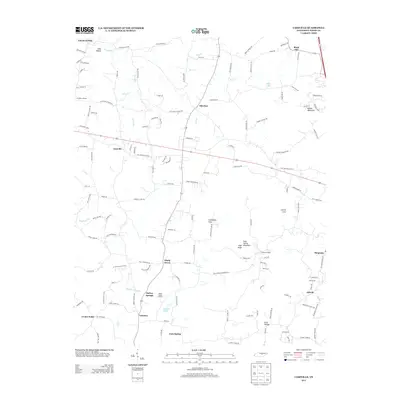
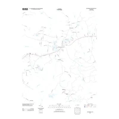
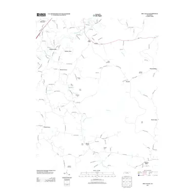
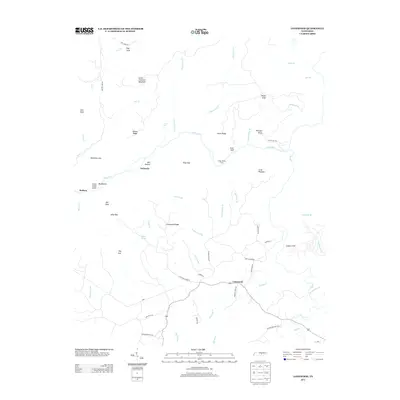
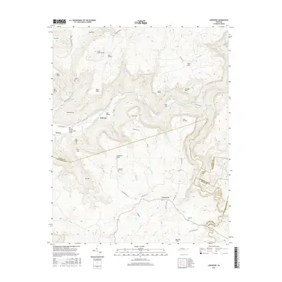
Ravenscroft and De Rossett anchor this portion of the Cumberland Plateau, where the headwaters of Clifty Cr and Doe Cr have carved deep coves into the high terrain. The landscape is defined by these sharp transitions between the upland flats and the low-lying basins of Geer Cove and Blue Spring Cove. Historic settlements like Bon Air and Clarktown are situated along the primary ridgelines, while smaller communities such as Stringtown and Mobra occupy the southern reaches near Chestnut Mtn.
Find a feature on this map
104 named features on this map. Tap any name to fly to it.
Don’t see what you’re looking for? This feature index may not catch every label — zoom into the map to look around manually.
Map Details
Editions of this 2022 De Rossett Map
This is the sole edition of this map. No revisions or reprints were ever made.
Historical Maps of Bon Air Through Time
30 maps found
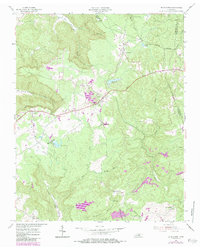
1954 De Rossett
White County, TN
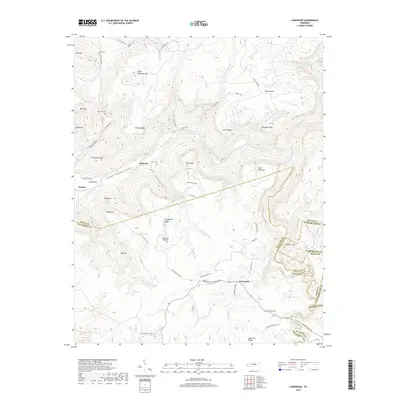
1954 Lonewood
White County, TN
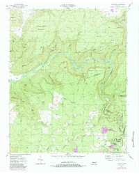
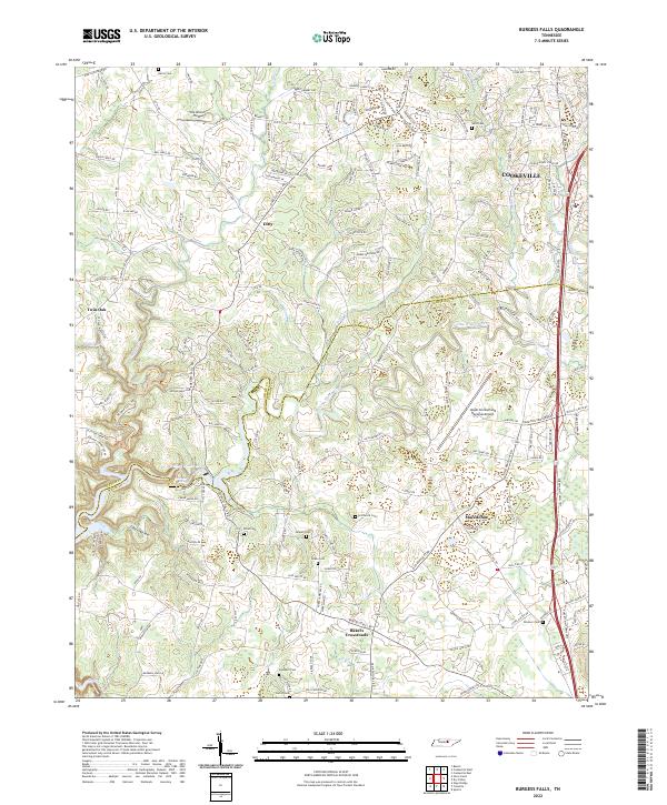
1956 Burgess Falls
White County, TN
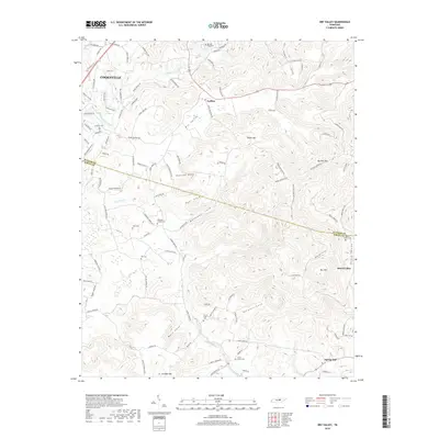
1956 Dry Valley
White County, TN
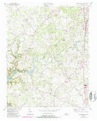
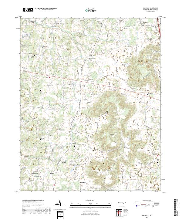
1960 Cassville
White County, TN
2010 Burgess Falls
White County, TN
2010 Cassville
White County, TN
2010 De Rossett
White County, TN
2010 Dry Valley
White County, TN
2010 Lonewood
White County, TN
2013 Burgess Falls
White County, TN
2013 Cassville
White County, TN
2013 De Rossett
White County, TN
2013 Dry Valley
White County, TN
2013 Lonewood
White County, TN
2016 Burgess Falls
White County, TN
2016 Cassville
White County, TN
2016 De Rossett
White County, TN
2016 Dry Valley
White County, TN
2016 Lonewood
White County, TN
2019 Burgess Falls
White County, TN
2019 Cassville
White County, TN
2019 De Rossett
White County, TN
2019 Dry Valley
White County, TN
2019 Lonewood
White County, TN
2022 Burgess Falls
White County, TN
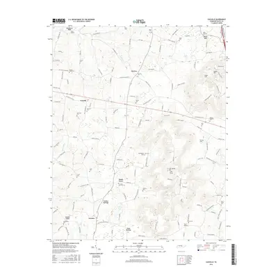
2022 Cassville
White County, TN
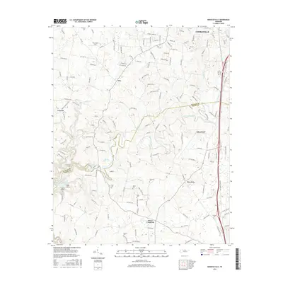
2022 De Rossett
White County, TN
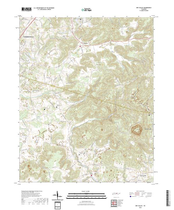
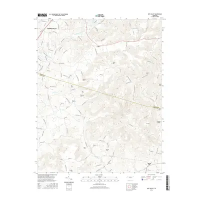
2022 Dry Valley
White County, TN
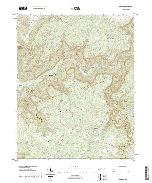
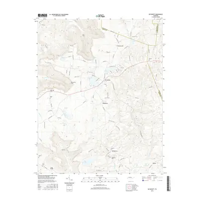
2022 Lonewood
White County, TN