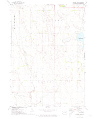
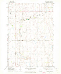
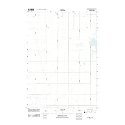
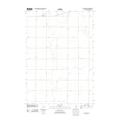
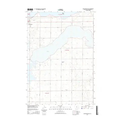
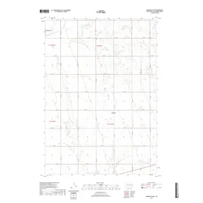
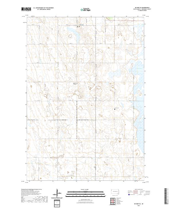
1971 Map of De Smet SE
USGS Topo · Published 1973About this map
Rock Creek winds through the agricultural landscape of Kingsbury County, defining the drainage patterns of Mathews and Manchester townships. This early 1970s survey captures a transition in the rural environment, where section-line roads serve a network of homesteads and local infrastructure. The map includes vital genealogical locations such as the De Smet Cem in the north and the Johnson Cem to the east, providing fixed points for local history research.
Find a feature on this map
11 named features on this map. Tap any name to fly to it.
Don’t see what you’re looking for? This feature index may not catch every label — zoom into the map to look around manually.
Map Details
Editions of this 1971 De Smet SE Map
This is the sole edition of this map. No revisions or reprints were ever made.
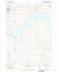
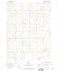
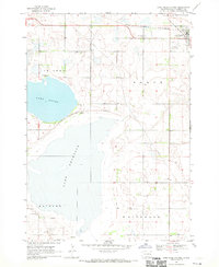
Historical Maps of Manchester Township Through Time
35 maps found
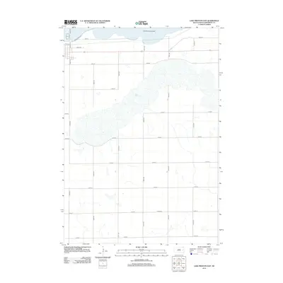
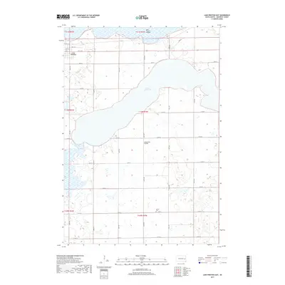
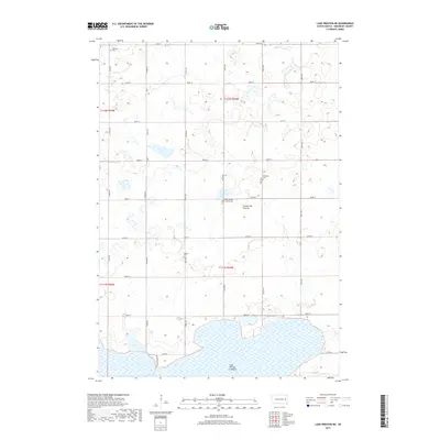
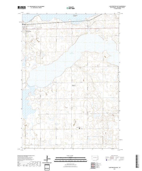
1968 Lake Preston East
Kingsbury County, SD
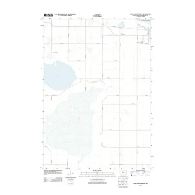
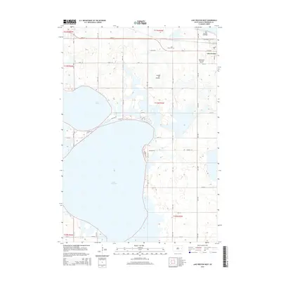
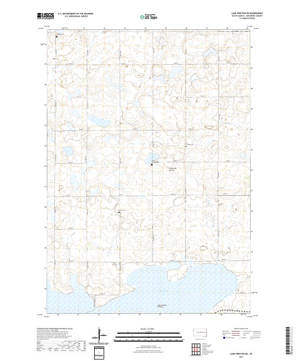
1968 Lake Preston NE
Kingsbury County, SD
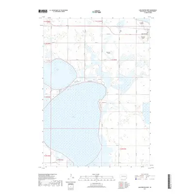
1968 Lake Preston West
Kingsbury County, SD

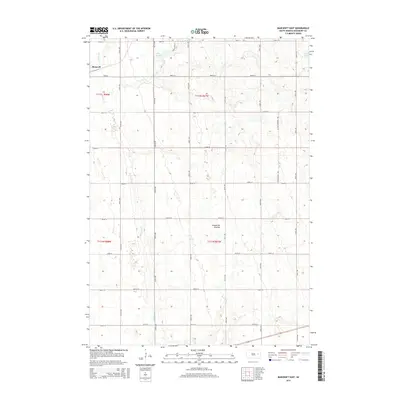
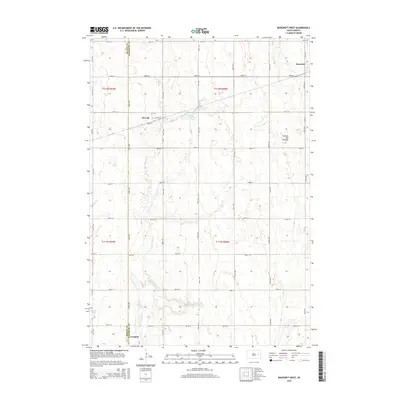
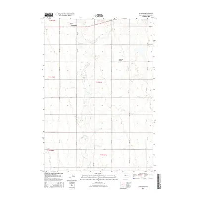
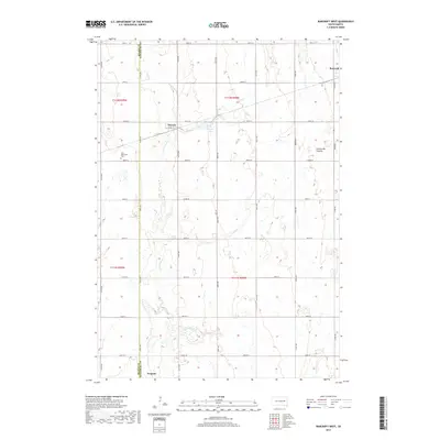
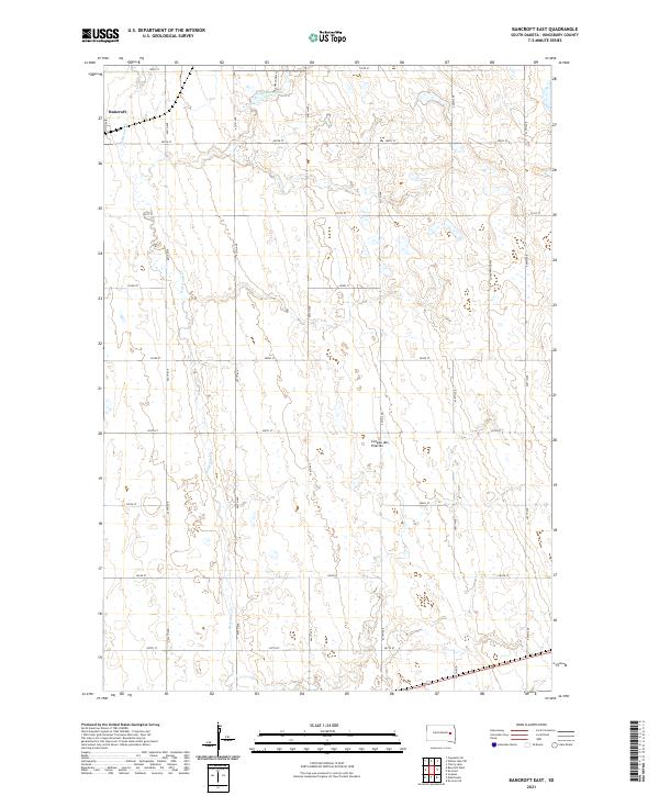
1971 Bancroft East
Kingsbury County, SD
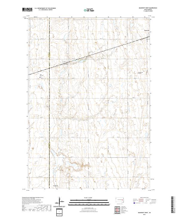
1971 Bancroft West
Kingsbury County, SD
1971 De Smet SE
Kingsbury County, SD
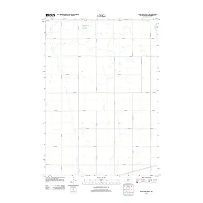
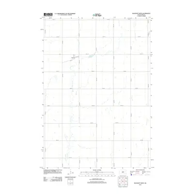
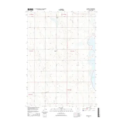
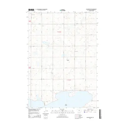
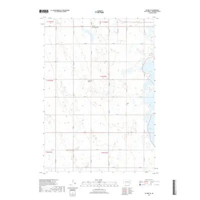
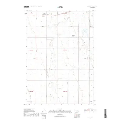
1971 Manchester
Kingsbury County, SD
2012 Bancroft East
Kingsbury County, SD
2012 Bancroft West
Kingsbury County, SD
2012 De Smet SE
Kingsbury County, SD
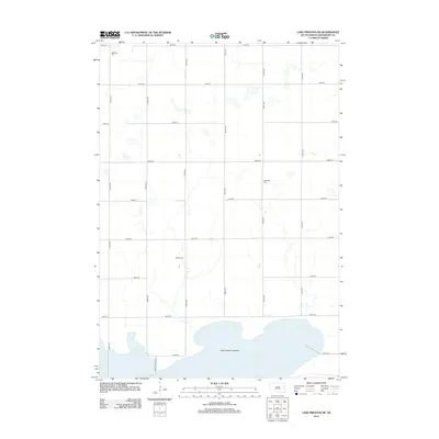
2012 Lake Preston East
Kingsbury County, SD
2012 Lake Preston NE
Kingsbury County, SD
2012 Lake Preston West
Kingsbury County, SD
2012 Manchester
Kingsbury County, SD
2015 Bancroft East
Kingsbury County, SD
2015 Bancroft West
Kingsbury County, SD
2015 De Smet SE
Kingsbury County, SD
2015 Lake Preston East
Kingsbury County, SD
2015 Lake Preston NE
Kingsbury County, SD
2015 Lake Preston West
Kingsbury County, SD
2015 Manchester
Kingsbury County, SD
2017 Bancroft East
Kingsbury County, SD
2017 Bancroft West
Kingsbury County, SD
2017 De Smet SE
Kingsbury County, SD
2017 Lake Preston East
Kingsbury County, SD
2017 Lake Preston NE
Kingsbury County, SD
2017 Lake Preston West
Kingsbury County, SD
2017 Manchester
Kingsbury County, SD
2021 Bancroft East
Kingsbury County, SD
2021 Bancroft West
Kingsbury County, SD
2021 De Smet SE
Kingsbury County, SD
2021 Lake Preston East
Kingsbury County, SD
2021 Lake Preston NE
Kingsbury County, SD
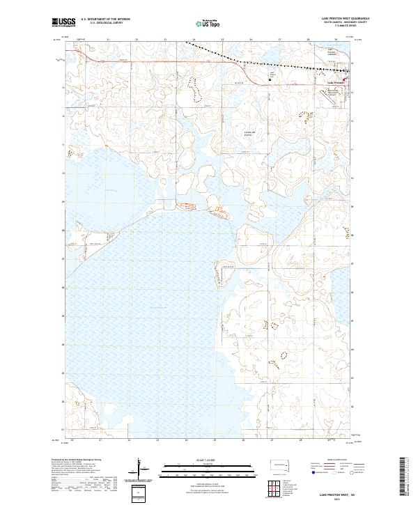
2021 Lake Preston West
Kingsbury County, SD
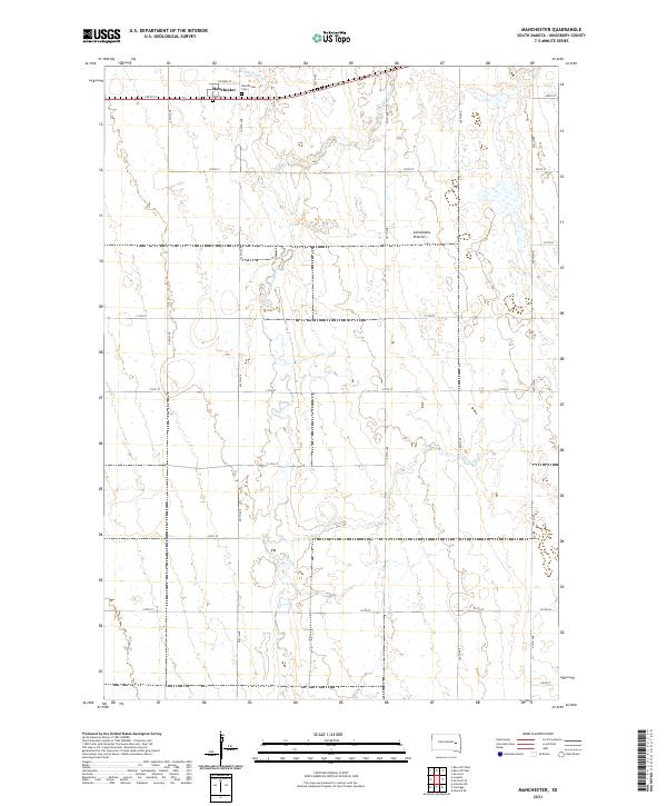
2021 Manchester
Kingsbury County, SD