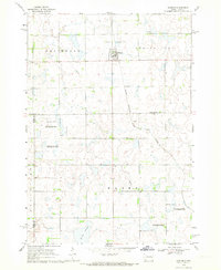
1968 Map of Oldham NW
USGS Topo · Published 1970About this map
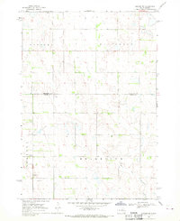
The glacial prairie landscape of eastern South Dakota is defined here by the headwaters of the East Fork Vermillion River, which meanders through the townships of Mathews, Whitewood, Belleview, and Grafton. This 1968 survey reveals a sparse, rural environment organized along section lines, where the proximity to the Kingsbury and Miner County border shaped local land use and administration. Near the western edge, the Berton Cem stands as a solitary genealogical landmark amidst active land-working sites like the Gravel Pit and Sandpit. The topography is characterized by subtle depressions and low rises, typical of the region's till plains, with fine red dashed lines indicating fence and field boundaries that were visible on aerial photographs during the mid-1960s.
Find a feature on this map
9 named features on this map. Tap any name to fly to it.
Don’t see what you’re looking for? This feature index may not catch every label — zoom into the map to look around manually.
Map Details
Editions of this 1968 Oldham NW Map
This is the sole edition of this map. No revisions or reprints were ever made.
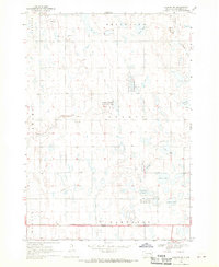
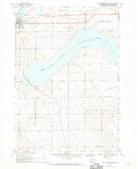
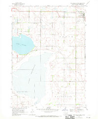
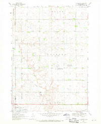
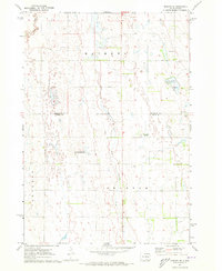
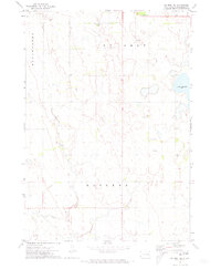
Other maps of this area

1899 · De Smet
USGS Topo · 1:125,000

1953 · Watertown
USGS Topo · 1:250,000

1958 · Watertown
USGS Topo · 1:250,000
1968 · Oldham SW
USGS Topo · 1:24,000
1968 · Lake Preston East
USGS Topo · 1:24,000
1968 · Lake Preston West
USGS Topo · 1:24,000
1968 · Oldham
USGS Topo · 1:24,000
1968 · Oldham SE
USGS Topo · 1:24,000
1971 · Howard NE
USGS Topo · 1:24,000
1971 · De Smet SE
USGS Topo · 1:24,000