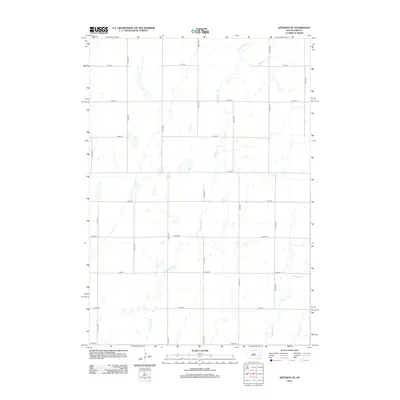
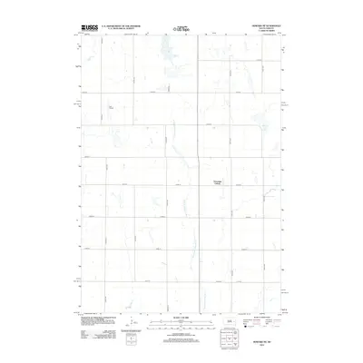
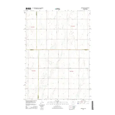
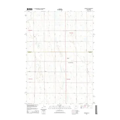
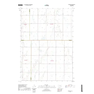
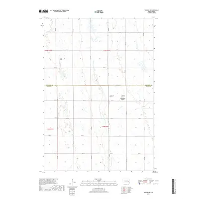
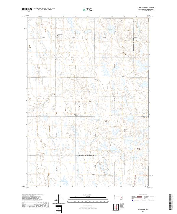
1968 Map of Oldham SW
USGS Topo · Published 1970About this map
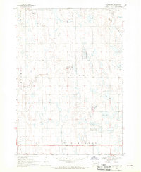
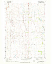
Belleview and Henden townships reveal a landscape of glaciated plains and marshy depressions in the late 1960s. The agricultural grid is punctuated by numerous sloughs and small lakes, including McCart Slough, Silver Lake, and the curiously shaped The Horseshoe. Local community life is anchored at the Belleview Ch and the Townhall, reflecting a period when small rural townships maintained distinct civic identities. The Chicago Milwaukee St Paul and Pacific railroad cuts across the southern portion of the sheet near the Little Vermillion River, serving the region's transport needs alongside an underground pipeline. Large tracts of land are dedicated to the National Wildlife Management Area, preserving the prairie potholes and wetland habitat essential for migratory birds in this portion of South Dakota.
Find a feature on this map
25 named features on this map. Tap any name to fly to it.
Don’t see what you’re looking for? This feature index may not catch every label — zoom into the map to look around manually.
Map Details
Editions of this 1968 Oldham SW Map
This is the sole edition of this map. No revisions or reprints were ever made.
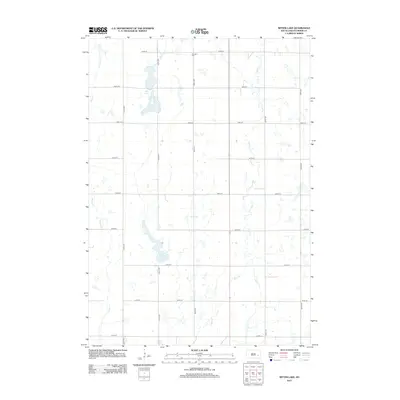
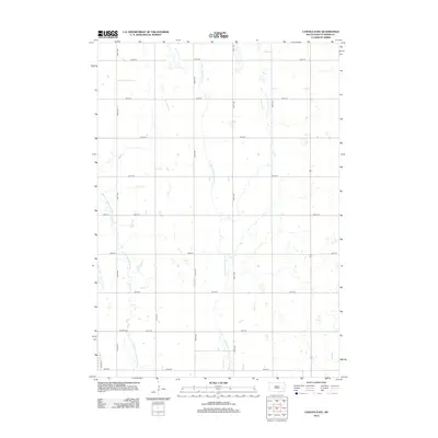
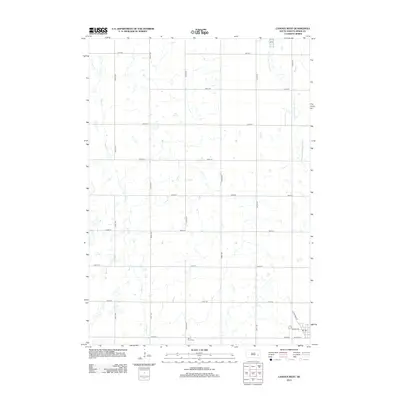
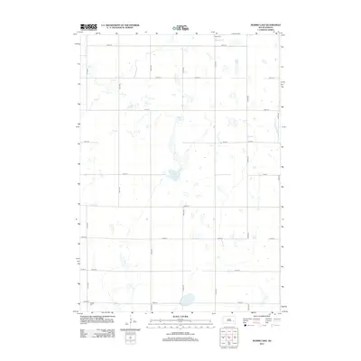
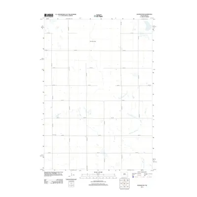
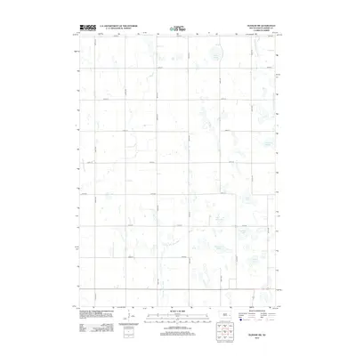
Historical Maps of Howard Township Through Time
40 maps found
1968 Oldham NW
Miner County, SD
1968 Oldham SW
Miner County, SD
1971 Artesian NE
Miner County, SD
1971 Canova East
Miner County, SD
1971 Howard NE
Miner County, SD
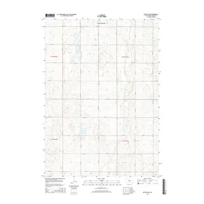
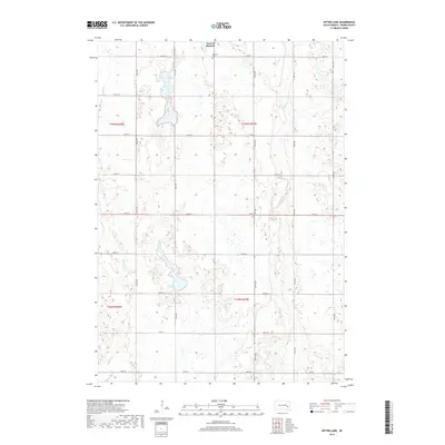
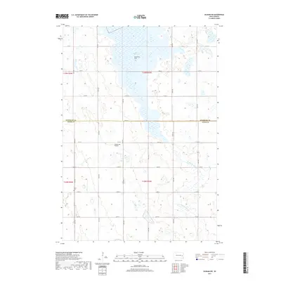
1973 Bitter Lake
Miner County, SD
1973 Canova West
Miner County, SD
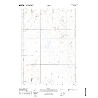
1973 Morris Lake
Miner County, SD
2012 Artesian NE
Miner County, SD
2012 Bitter Lake
Miner County, SD
2012 Canova East
Miner County, SD
2012 Canova West
Miner County, SD
2012 Howard NE
Miner County, SD
2012 Morris Lake
Miner County, SD
2012 Oldham NW
Miner County, SD
2012 Oldham SW
Miner County, SD
2015 Artesian NE
Miner County, SD
2015 Bitter Lake
Miner County, SD
2015 Canova East
Miner County, SD
2015 Canova West
Miner County, SD
2015 Howard NE
Miner County, SD
2015 Morris Lake
Miner County, SD
2015 Oldham NW
Miner County, SD
2015 Oldham SW
Miner County, SD
2017 Artesian NE
Miner County, SD
2017 Bitter Lake
Miner County, SD
2017 Canova East
Miner County, SD
2017 Canova West
Miner County, SD
2017 Howard NE
Miner County, SD
2017 Morris Lake
Miner County, SD
2017 Oldham NW
Miner County, SD
2017 Oldham SW
Miner County, SD
2021 Artesian NE
Miner County, SD
2021 Bitter Lake
Miner County, SD
2021 Canova East
Miner County, SD
2021 Canova West
Miner County, SD
2021 Howard NE
Miner County, SD
2021 Morris Lake
Miner County, SD
2021 Oldham NW
Miner County, SD
2021 Oldham SW
Miner County, SD
Featured Locations
- Henden Township, SD
- Howard Township, SD
- Adams Township, SD
- Belleview Township, SD
- Clearwater Township, SD