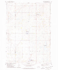
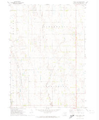
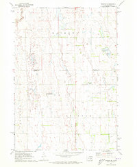
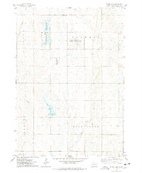
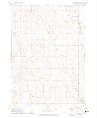
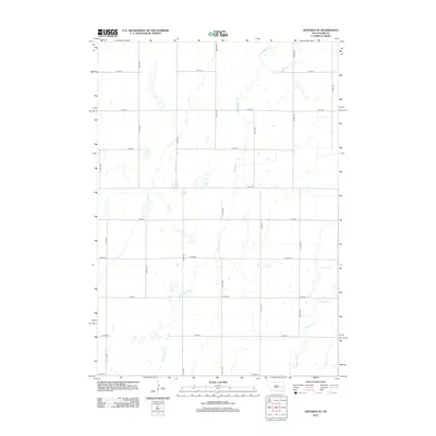
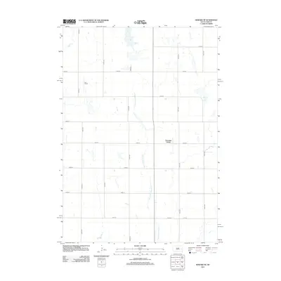
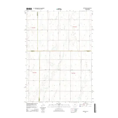
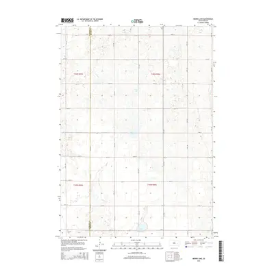
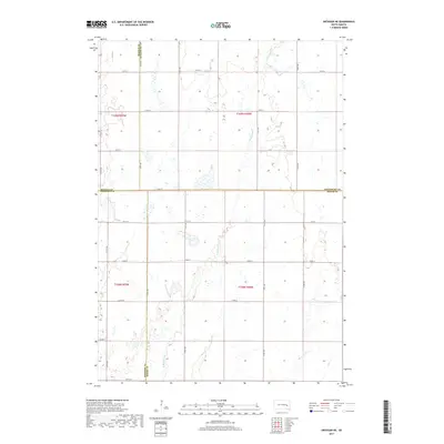
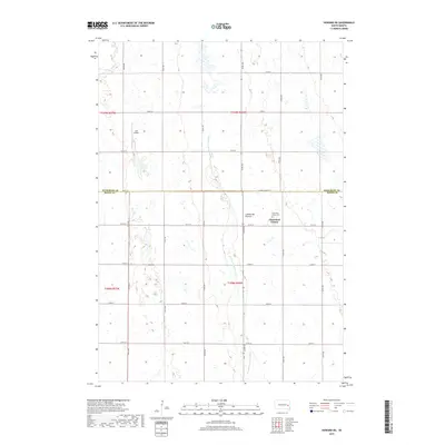
1973 Map of Morris Lake
USGS Topo · Published 1978About this map
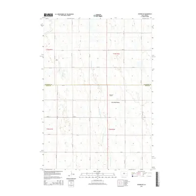
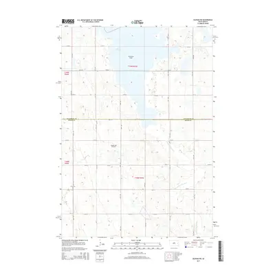
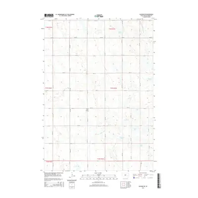
The boundary between Sanborn and Miner Counties cuts through a landscape defined by prairie wetlands and small water bodies in the 1970s. This agricultural and conservation-focused region is anchored by Morris Lake, which is surrounded by the Morris Lake State Public Shooting Area. Other significant water features like O'Neal Lake and Glee Lake sit among the townships of Clinton, Ravenna, and Beaver.
Find a feature on this map
19 named features on this map. Tap any name to fly to it.
Don’t see what you’re looking for? This feature index may not catch every label — zoom into the map to look around manually.
Map Details
Editions of this 1973 Morris Lake Map
This is the sole edition of this map. No revisions or reprints were ever made.
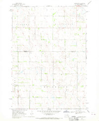
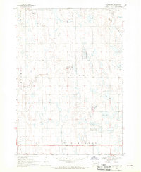
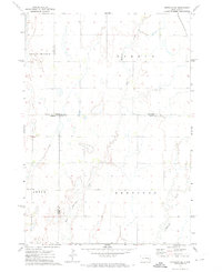
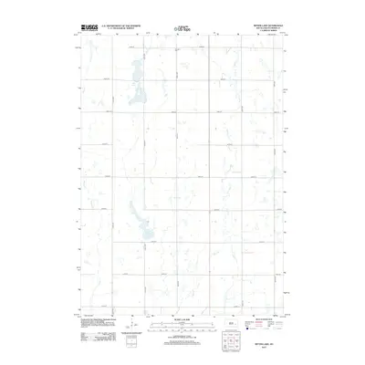
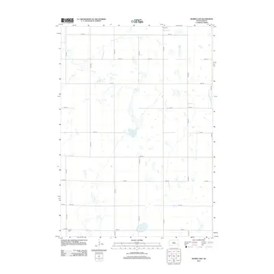
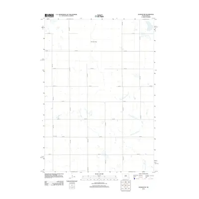
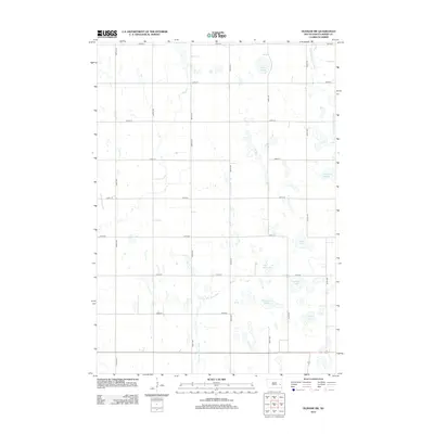
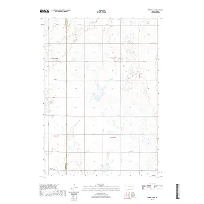
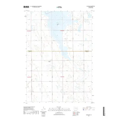
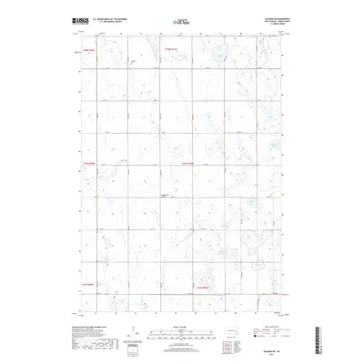
Historical Maps of Diana Township Through Time
40 maps found
1968 Oldham NW
Miner County, SD
1968 Oldham SW
Miner County, SD
1971 Artesian NE
Miner County, SD
1971 Canova East
Miner County, SD
1971 Howard NE
Miner County, SD
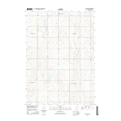
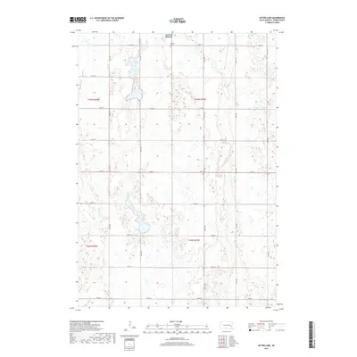
1973 Bitter Lake
Miner County, SD
1973 Canova West
Miner County, SD
1973 Morris Lake
Miner County, SD
2012 Artesian NE
Miner County, SD
2012 Bitter Lake
Miner County, SD
2012 Canova East
Miner County, SD
2012 Canova West
Miner County, SD
2012 Howard NE
Miner County, SD
2012 Morris Lake
Miner County, SD
2012 Oldham NW
Miner County, SD
2012 Oldham SW
Miner County, SD
2015 Artesian NE
Miner County, SD
2015 Bitter Lake
Miner County, SD
2015 Canova East
Miner County, SD
2015 Canova West
Miner County, SD
2015 Howard NE
Miner County, SD
2015 Morris Lake
Miner County, SD
2015 Oldham NW
Miner County, SD
2015 Oldham SW
Miner County, SD
2017 Artesian NE
Miner County, SD
2017 Bitter Lake
Miner County, SD
2017 Canova East
Miner County, SD
2017 Canova West
Miner County, SD
2017 Howard NE
Miner County, SD
2017 Morris Lake
Miner County, SD
2017 Oldham NW
Miner County, SD
2017 Oldham SW
Miner County, SD
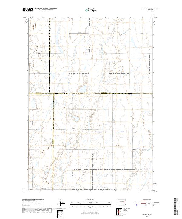
2021 Artesian NE
Miner County, SD
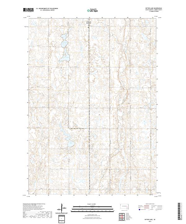
2021 Bitter Lake
Miner County, SD
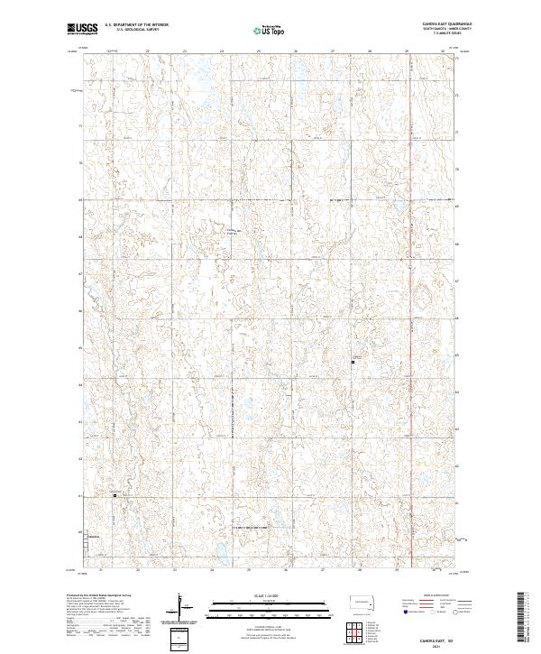
2021 Canova East
Miner County, SD
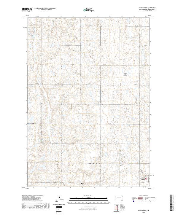
2021 Canova West
Miner County, SD
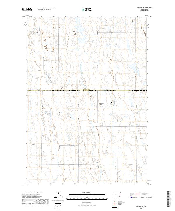
2021 Howard NE
Miner County, SD
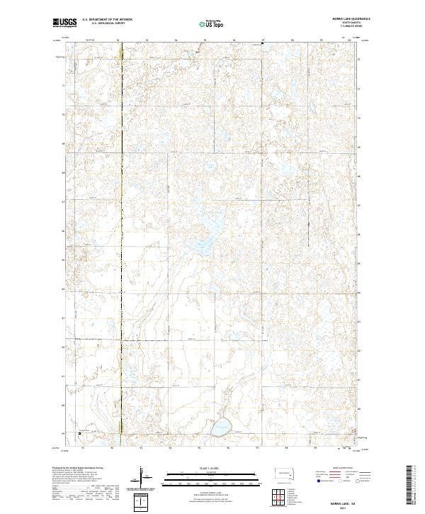
2021 Morris Lake
Miner County, SD
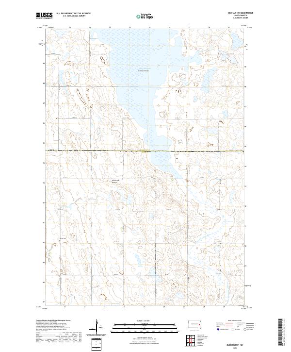
2021 Oldham NW
Miner County, SD
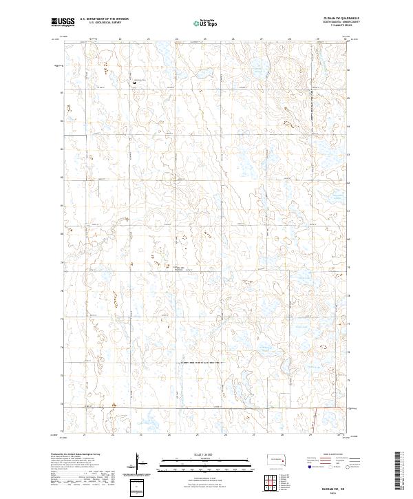
2021 Oldham SW
Miner County, SD