
1971 Map of Fedora
USGS Topo · Published 1973About this map
Chicago Milwaukee St Paul and Pacific rail lines cut across the southern edge of this prairie landscape, providing the primary transportation corridor through Diana and Clinton townships in the early 1970s. The meandering course of Redstone Creek and its various forks define the topography, creating a pattern of drainage that dictated the placement of rural landmarks. Local community life is anchored by small, decentralized sites such as the Townhall and Glen View Ch, alongside several burial grounds serving the surrounding townships, including Prairie Flower Cem, Morgans Cem, and the Fedora Cem. The map illustrates a high degree of land management, with numerous wells and field boundaries plotted across the sections of Afton, Benedict, and Miner, reflecting the area's established agricultural character and civil organization at the time of the 1971 field check.
Find a feature on this map
14 named features on this map. Tap any name to fly to it.
Don’t see what you’re looking for? This feature index may not catch every label — zoom into the map to look around manually.
Map Details
Editions of this 1971 Fedora Map
This is the sole edition of this map. No revisions or reprints were ever made.
Other maps of this area

1899 · Alexandria
USGS Topo · 1:125,000

1899 · De Smet
USGS Topo · 1:125,000

1953 · Watertown
USGS Topo · 1:250,000

1955 · Sioux Falls
USGS Topo · 1:250,000

1957 · Farwell NW
USGS Topo · 1:24,000

1958 · Sioux Falls
USGS Topo · 1:250,000

1958 · Watertown
USGS Topo · 1:250,000
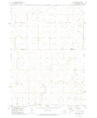
1971 · Artesian NW
USGS Topo · 1:24,000
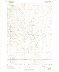
1971 · Artesian
USGS Topo · 1:24,000

1971 · Artesian NE
USGS Topo · 1:24,000