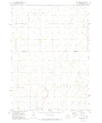
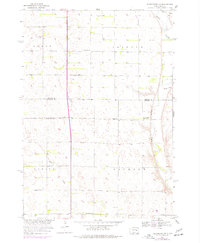
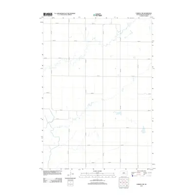
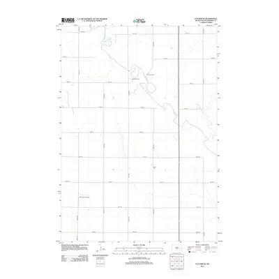
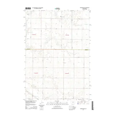
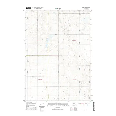
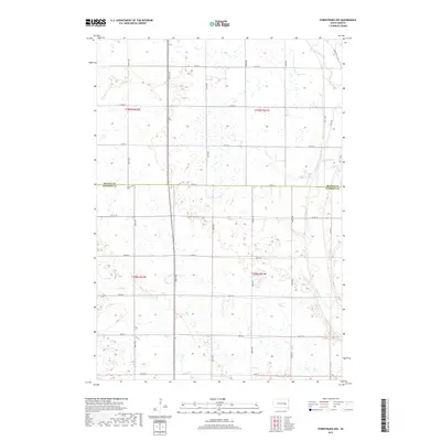
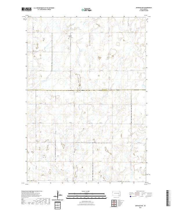
1971 Map of Artesian NW
USGS Topo · Published 1973About this map
Belle Prairie, Floyd, and Afton define the township landscape of this Sanborn County region during the early 1970s. The terrain is defined by the winding course of Pearl Creek and its tributary, South Fork Pearl Creek, which drain a countryside transition between Beadle and Sanborn counties. This is a quiet agricultural landscape where community life centers on small rural landmarks such as Immanuel Ch and its associated Immanuel Ch Cem.
Find a feature on this map
11 named features on this map. Tap any name to fly to it.
Don’t see what you’re looking for? This feature index may not catch every label — zoom into the map to look around manually.
Map Details
Editions of this 1971 Artesian NW Map
This is the sole edition of this map. No revisions or reprints were ever made.
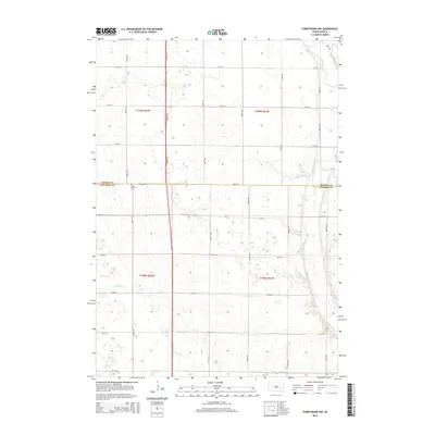
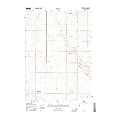
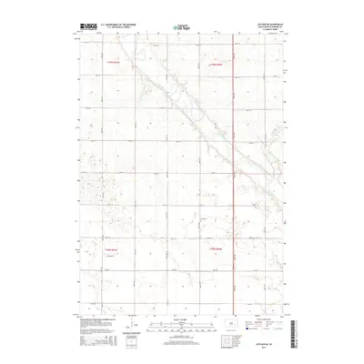
Historical Maps of Afton Township Through Time
35 maps found
1957 Farwell NW
Sanborn County, SD
1957 Forestburg NE
Sanborn County, SD
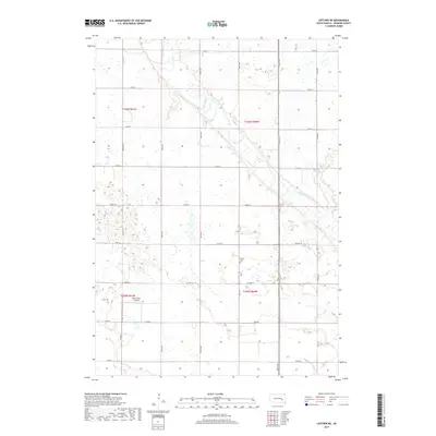
1957 Letcher NE
Sanborn County, SD
1958 Forestburg NW
Sanborn County, SD
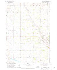
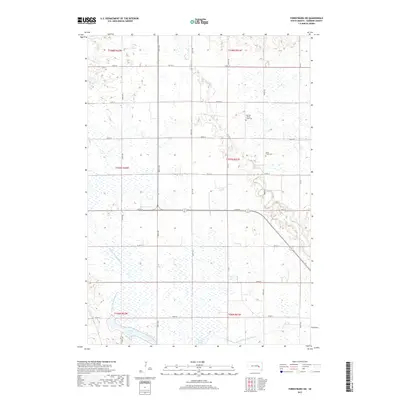
1971 Artesian NW
Sanborn County, SD
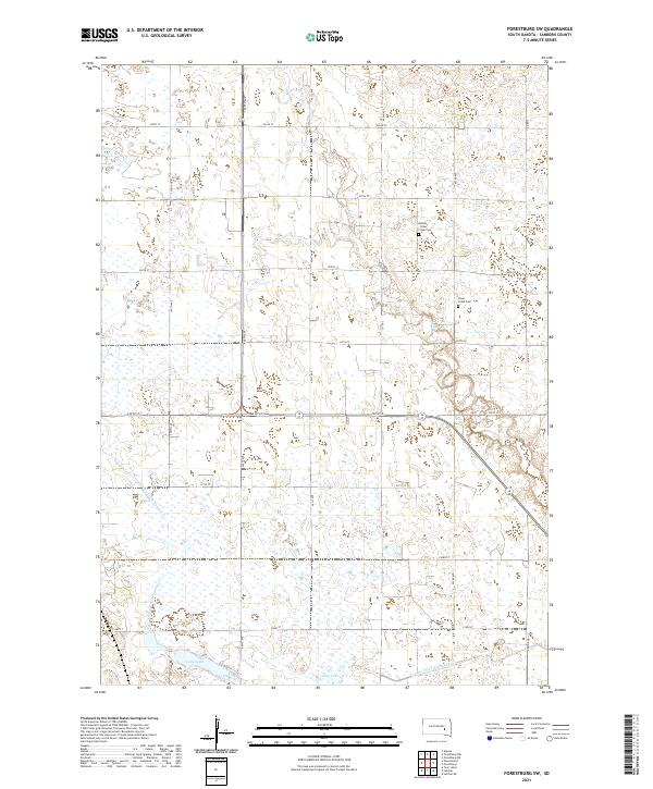
1973 Forestburg SW
Sanborn County, SD
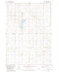
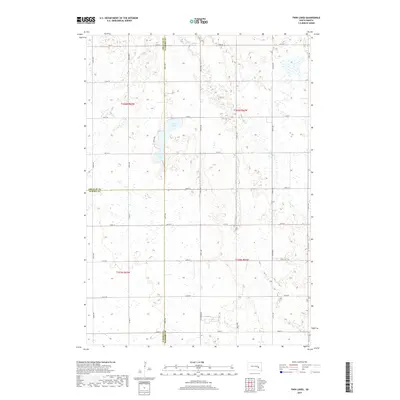
1979 Twin Lakes
Sanborn County, SD
2012 Artesian NW
Sanborn County, SD
2012 Farwell NW
Sanborn County, SD
2012 Forestburg NE
Sanborn County, SD
2012 Forestburg NW
Sanborn County, SD
2012 Forestburg SW
Sanborn County, SD
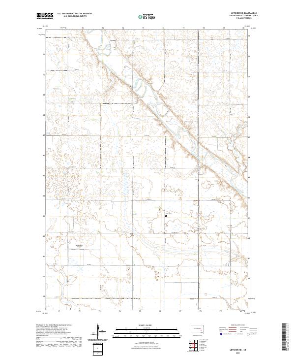
2012 Letcher NE
Sanborn County, SD
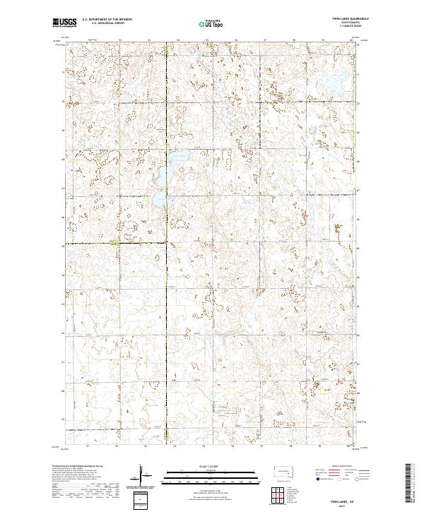
2012 Twin Lakes
Sanborn County, SD
2015 Artesian NW
Sanborn County, SD
2015 Farwell NW
Sanborn County, SD
2015 Forestburg NE
Sanborn County, SD
2015 Forestburg NW
Sanborn County, SD
2015 Forestburg SW
Sanborn County, SD
2015 Letcher NE
Sanborn County, SD
2015 Twin Lakes
Sanborn County, SD
2017 Artesian NW
Sanborn County, SD
2017 Farwell NW
Sanborn County, SD
2017 Forestburg NE
Sanborn County, SD
2017 Forestburg NW
Sanborn County, SD
2017 Forestburg SW
Sanborn County, SD
2017 Letcher NE
Sanborn County, SD
2017 Twin Lakes
Sanborn County, SD
2021 Artesian NW
Sanborn County, SD
2021 Farwell NW
Sanborn County, SD
2021 Forestburg NE
Sanborn County, SD
2021 Forestburg NW
Sanborn County, SD
2021 Forestburg SW
Sanborn County, SD
2021 Letcher NE
Sanborn County, SD
2021 Twin Lakes
Sanborn County, SD