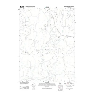
2012 Map of Dead Horse Summit
USGS Topo · Published 2012About this map
Dead Horse Summit serves as the topographic high point for this section of Northern California, where the high-altitude landscape is defined by the headwaters of the McCloud River and Kosk Cr. The small settlement of Curtis sits near the eastern edge, while forest camps such as Walking Bear Camp indicate the seasonal and recreational use of this wooded terrain. A complex network of US Forest Service roads, including Summit Lake Rd and Dead Horse Canyon Rd, navigates the transition between peaks and meadows.
Find a feature on this map
39 named features on this map. Tap any name to fly to it.
Don’t see what you’re looking for? This feature index may not catch every label — zoom into the map to look around manually.
Map Details
Editions of this 2012 Dead Horse Summit Map
This is the sole edition of this map. No revisions or reprints were ever made.
Other maps of this area
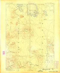
1886 · Modoc Lava Bed
USGS Topo · 1:250,000
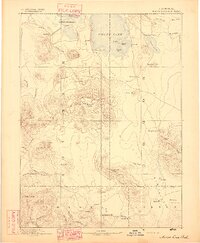
1892 · Modoc Lava-Bed
USGS Topo · 1:250,000
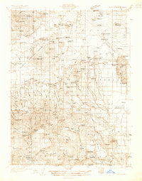
1932 · Bartle
USGS Topo · 1:96,000
1939 · Bartle
USGS Topo · 1:125,000
1954 · Alturas
USGS Topo · 1:250,000
1958 · Alturas
USGS Topo · 1:250,000
1961 · Hambone
USGS Topo · 1:62,500
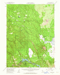
1961 · Pondosa
USGS Topo · 1:62,500
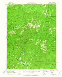
1961 · Big Bend
USGS Topo · 1:62,500
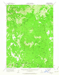
1961 · Bartle
USGS Topo · 1:62,500