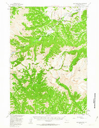
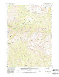
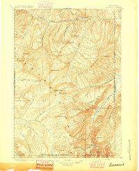
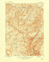
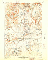
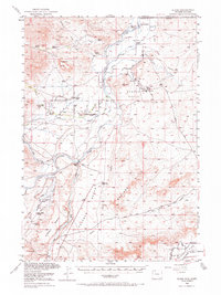
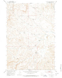
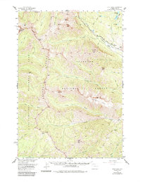
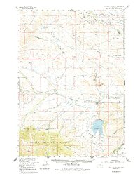
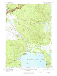
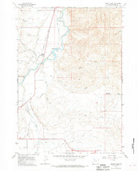
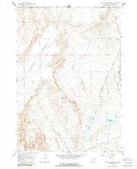
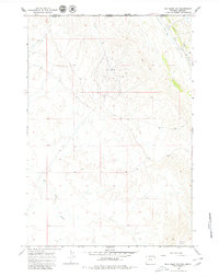
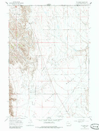
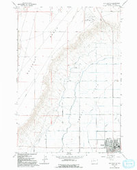
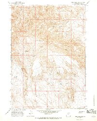
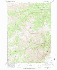
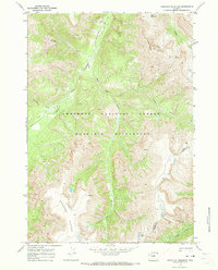
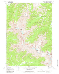
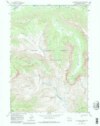
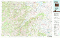
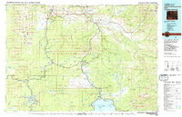
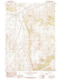
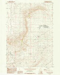
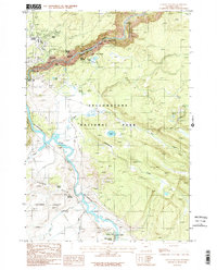
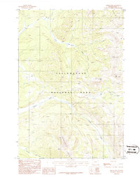
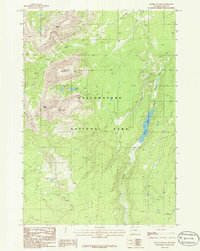
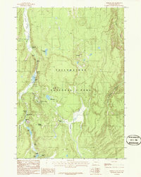
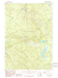
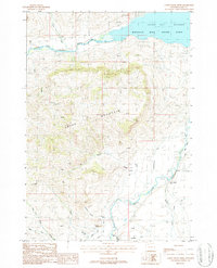
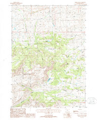
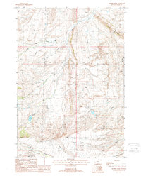
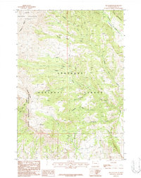
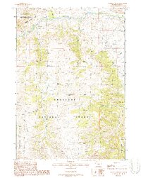
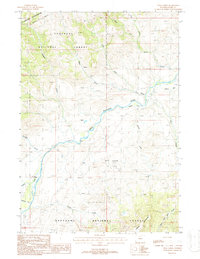
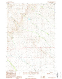
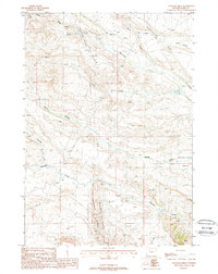
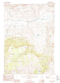
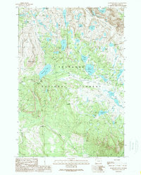
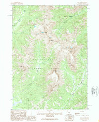
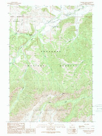
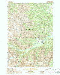
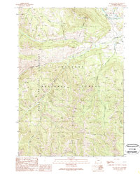
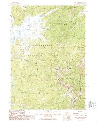
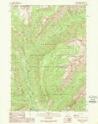
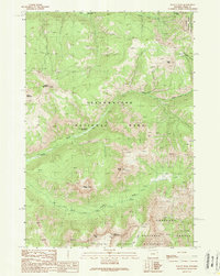
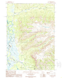
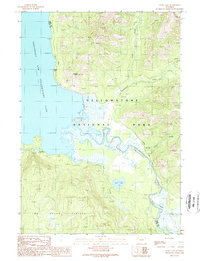
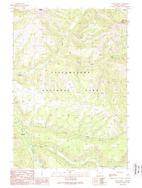
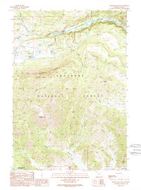
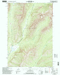
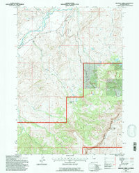
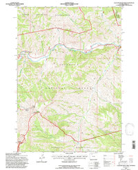
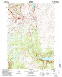
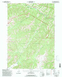
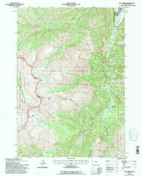
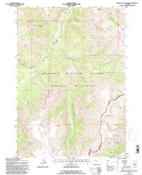
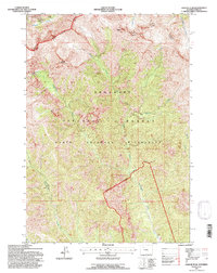
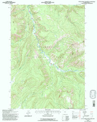
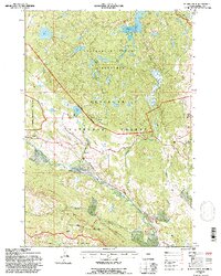
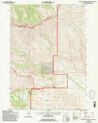
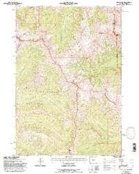
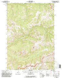
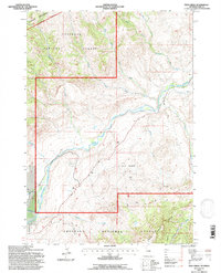
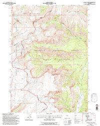
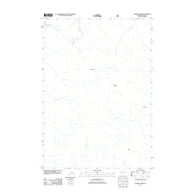
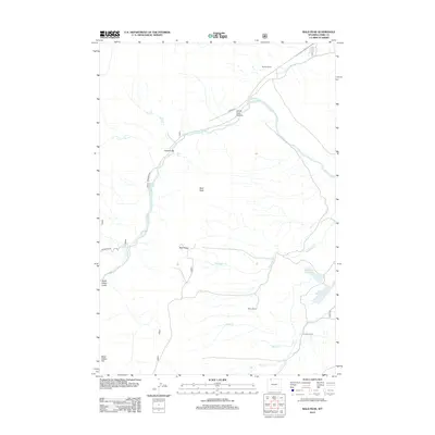
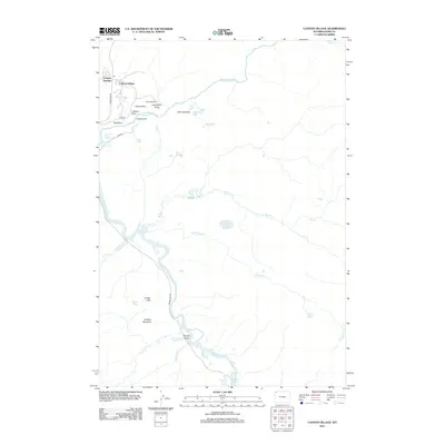
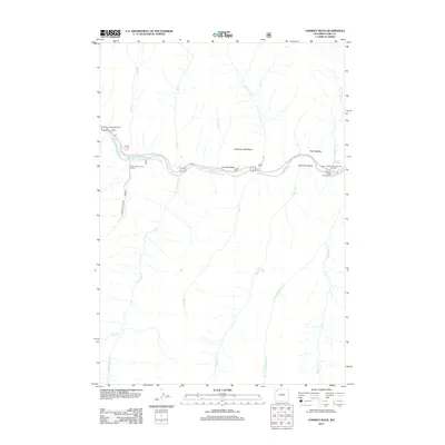
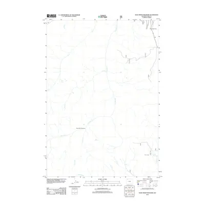
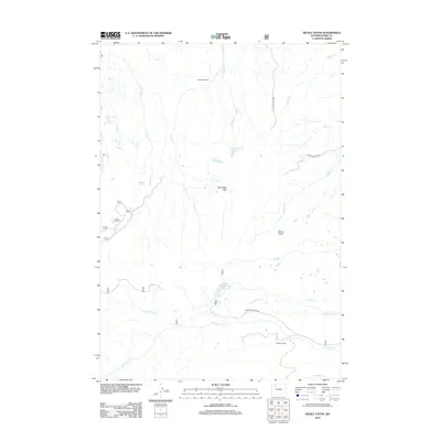
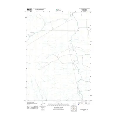
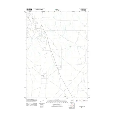
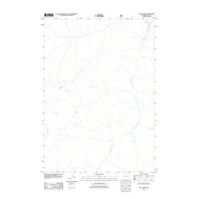
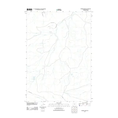
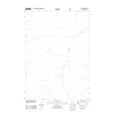
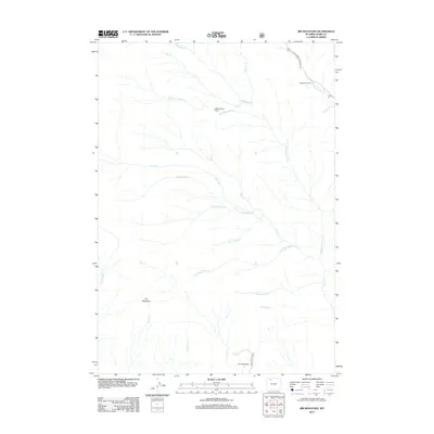
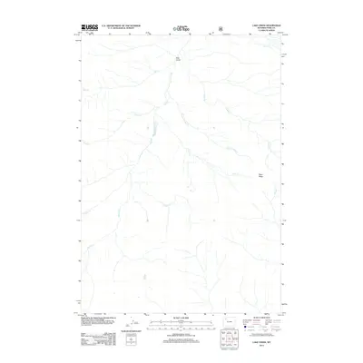
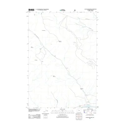
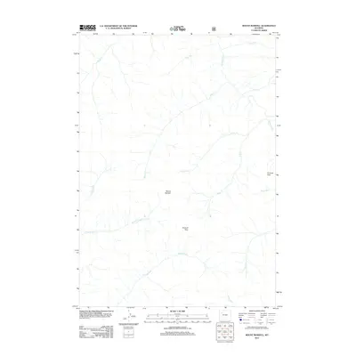
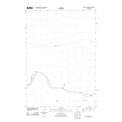
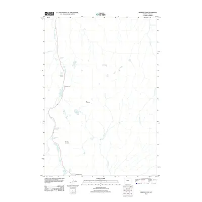
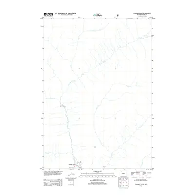
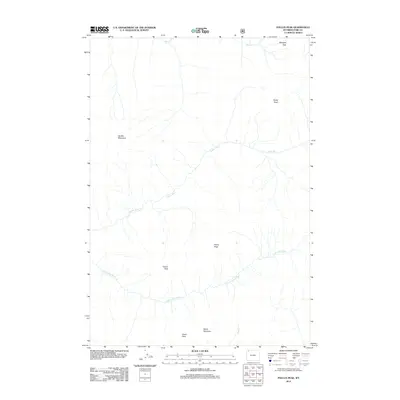
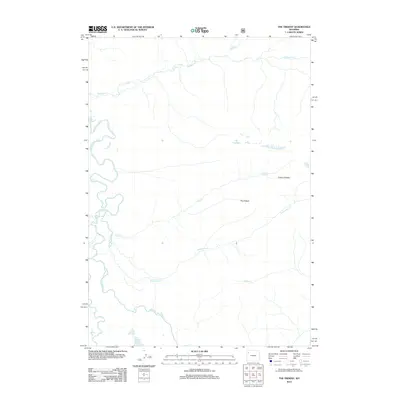
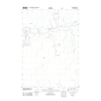
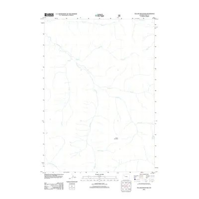
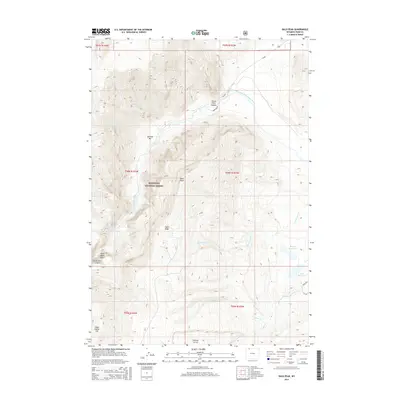
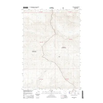
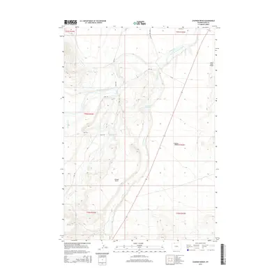
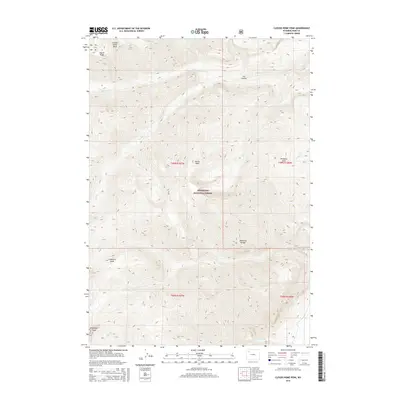
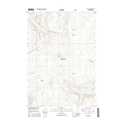
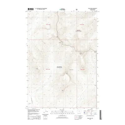
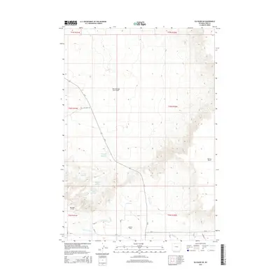
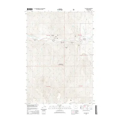
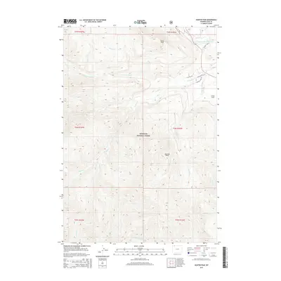
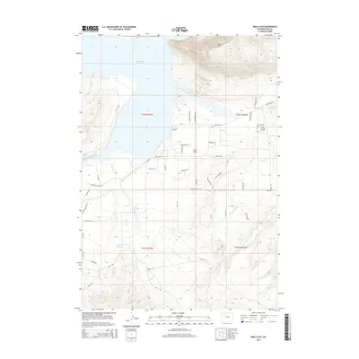
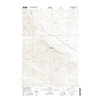
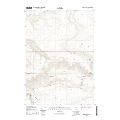
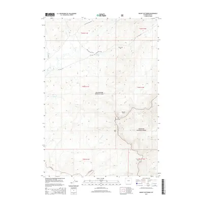
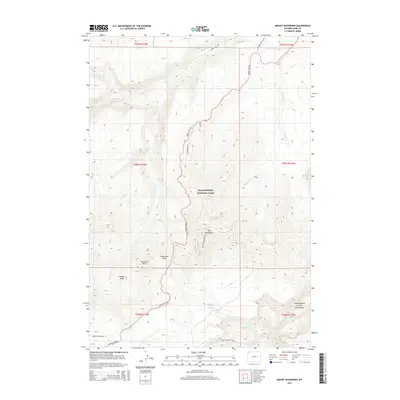
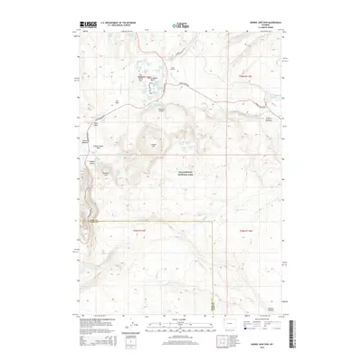
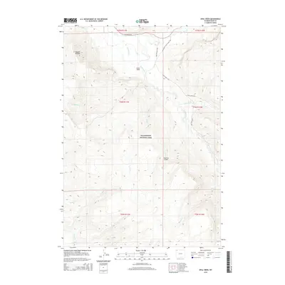
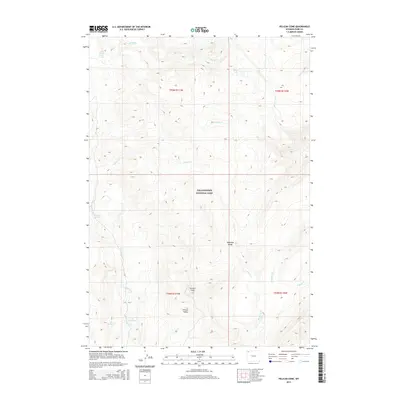
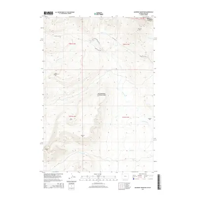
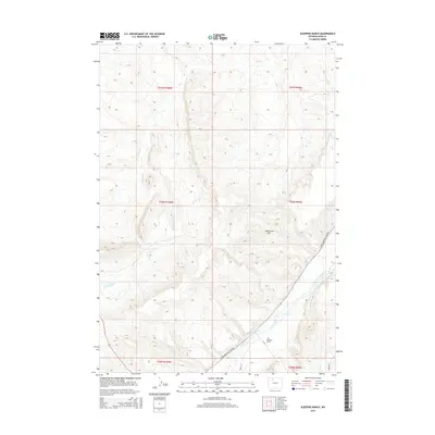
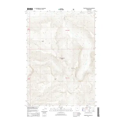
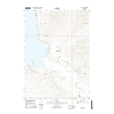
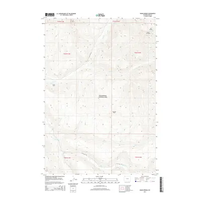
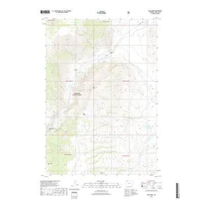
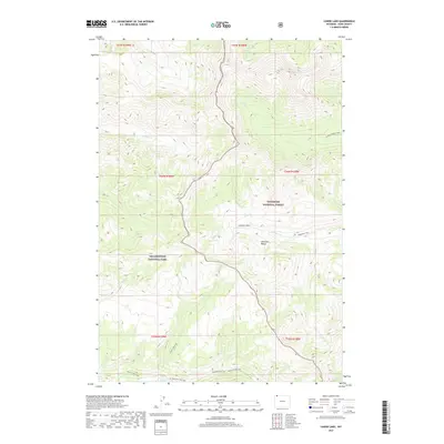
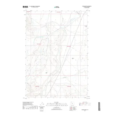
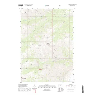
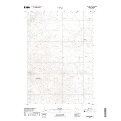
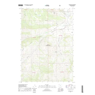
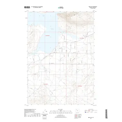
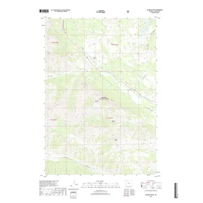
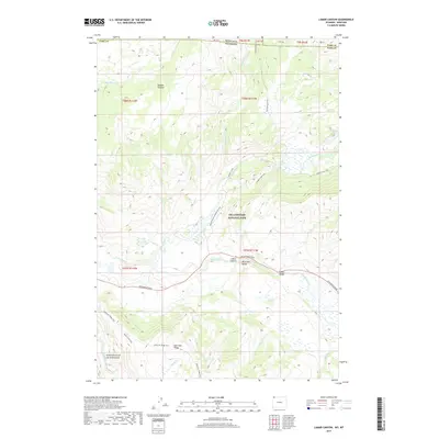
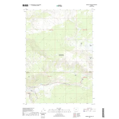
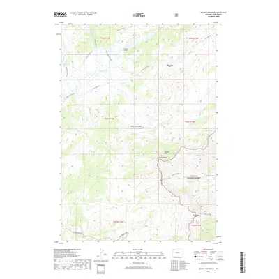
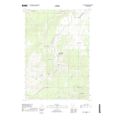
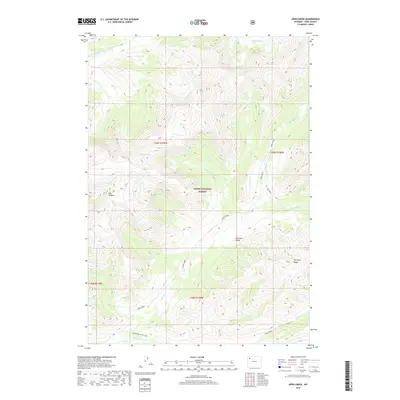
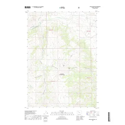
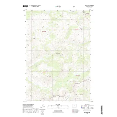
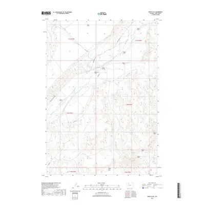
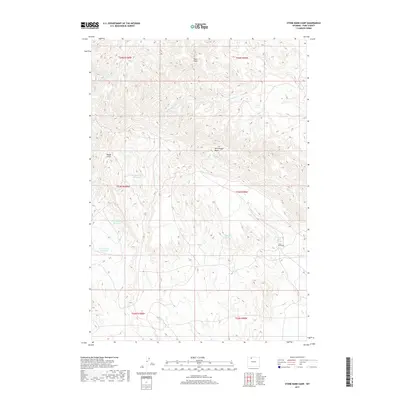
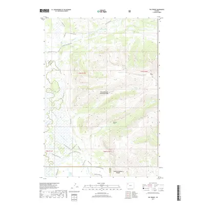
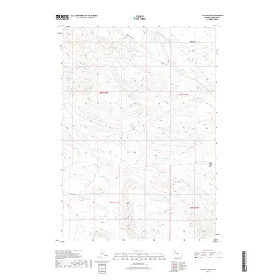
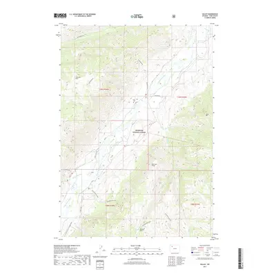
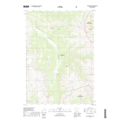
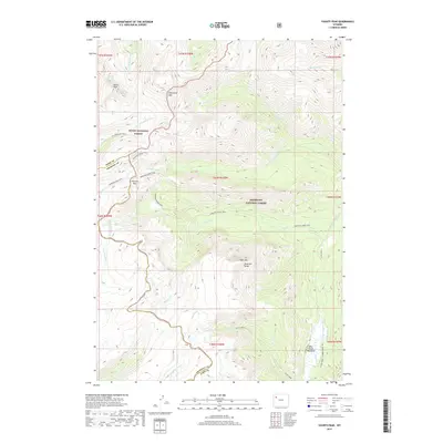
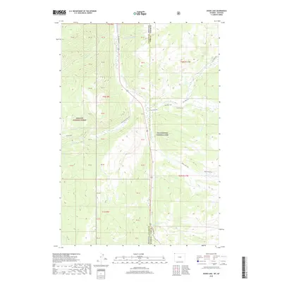
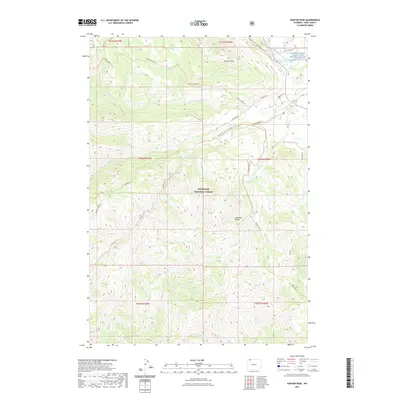
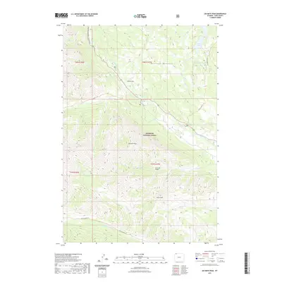
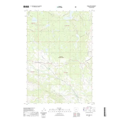
1956 Map of Dead Indian Peak
USGS Topo · Published 1963About this map
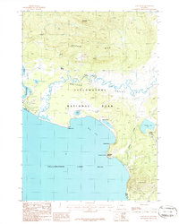
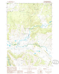
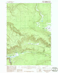
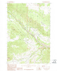
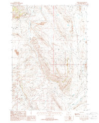
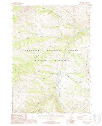
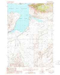
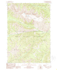
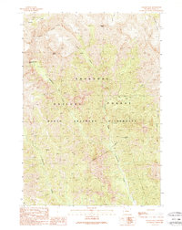
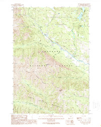
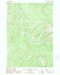
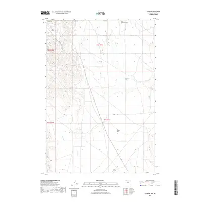
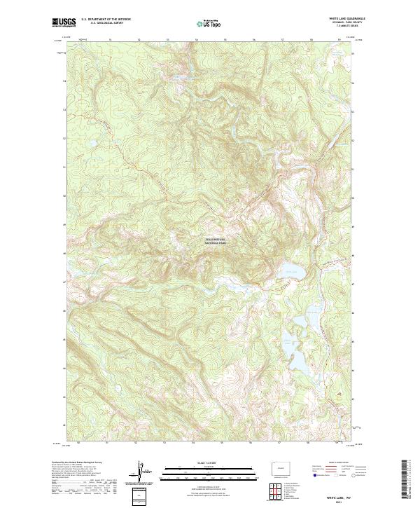
Sunlight Mining Region and its high-altitude ranching economy dominate this mid-century survey of the Shoshone National Forest. The map documents a landscape of transition where early industrial efforts like Lee City (Aband) and Winona Camp had already faded, leaving behind a network of working livestock operations. Named cattle and horse outfits such as Riddle Ranch, Double Spearhead Bar Ranch, and the Quarter Circle Lazy Open A Ranch line the banks of Sunlight Creek. The terrain is characterized by dramatic elevation changes, from the depths of Gravelbar to the peaks of Dead Indian Peak and Trout Peak. Remote outposts and natural features like Sunlight Ranger Sta, Sweetwater Mineral Springs, and Big Creek Falls reflect the area's use for forestry and recreation during the 1950s.
Find a feature on this map
50 named features on this map. Tap any name to fly to it.
Don’t see what you’re looking for? This feature index may not catch every label — zoom into the map to look around manually.
Map Details
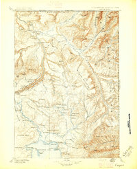
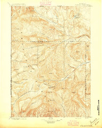
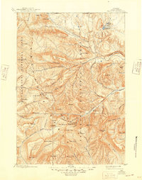
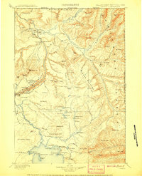
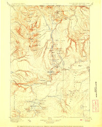
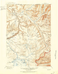
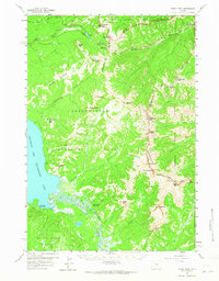
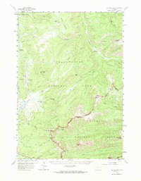
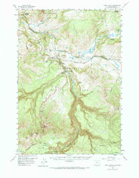
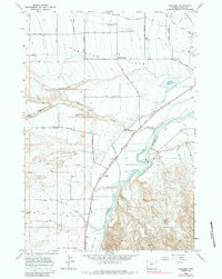
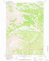
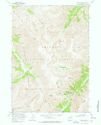
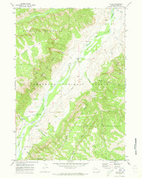
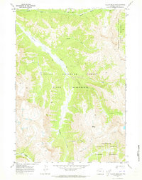
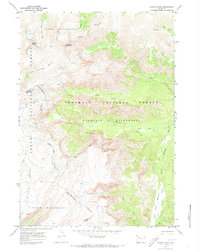
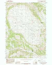
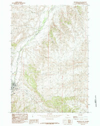
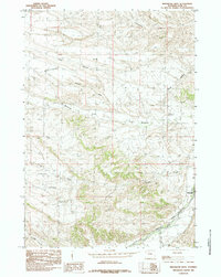
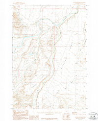
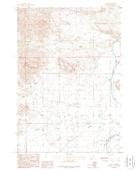
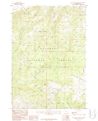
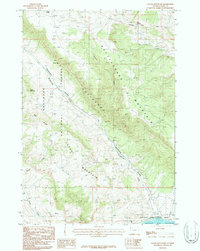
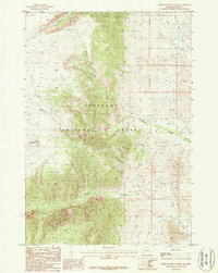
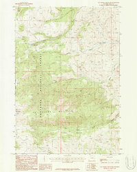
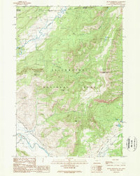
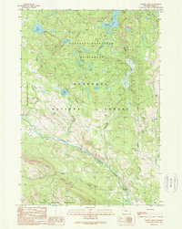
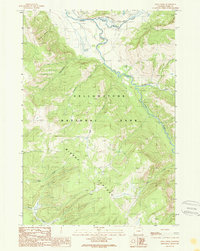
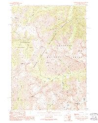
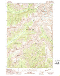
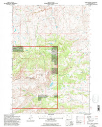
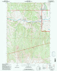
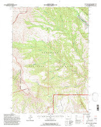
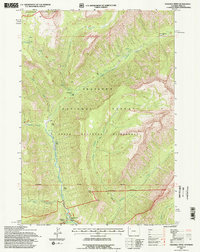
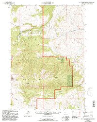
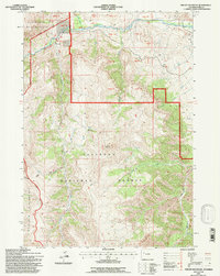
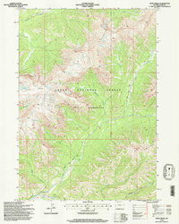
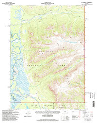
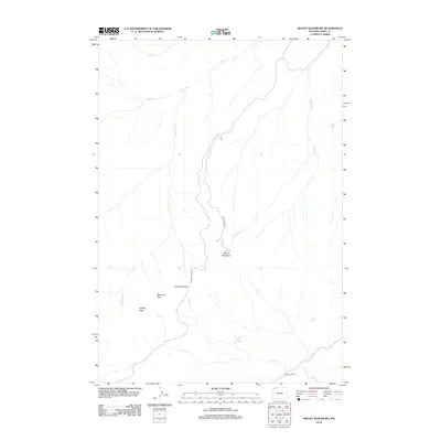
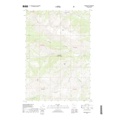
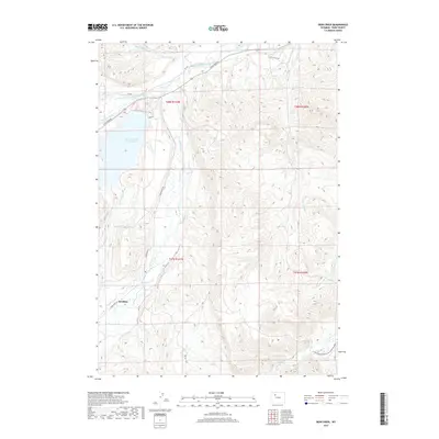
Editions of this 1956 Dead Indian Peak Map
3 editions found
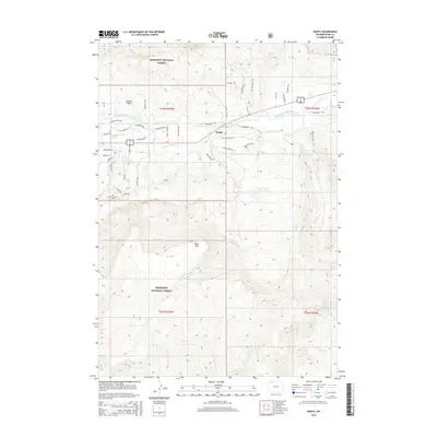
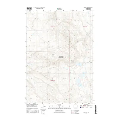
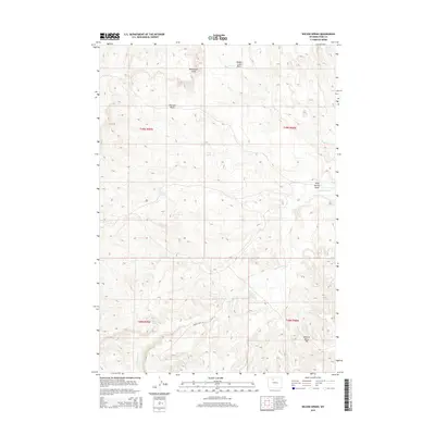
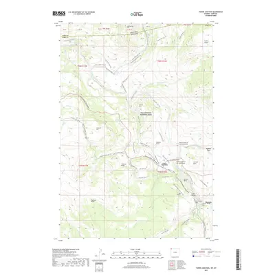
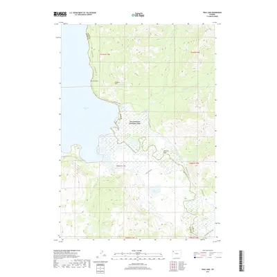
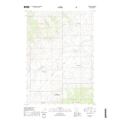
Historical Maps of Park County Through Time
733 maps found

1885 Gallatin
Park County, WY
1885 Gallatin
Park County, WY

1886 Canyon
Park County, WY
1893 Ishawooa
Park County, WY

1895 Canyon
Park County, WY
1895 Ishawooa
Park County, WY
1896 Canyon
Park County, WY
1896 Crandall Creek
Park County, WY
1899 Crandall
Park County, WY
1899 Ishawooa
Park County, WY

1901 Canyon
Park County, WY

1901 Gallatin
Park County, WY
1907 Canyon
Park County, WY
1908 Gallatin
Park County, WY
1911 Canyon
Park County, WY
1911 Gallatin
Park County, WY
1911 Oregon Basin
Park County, WY
1913 Oregon Basin
Park County, WY
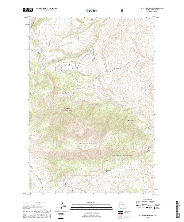
1949 Pat O'Hara Mountain
Park County, WY
1950 Clark
Park County, WY
1950 Deep Lake
Park County, WY
1951 Dead Indian Hill
Park County, WY
1951 Sheets Flat
Park County, WY
1951 Wilson Spring
Park County, WY
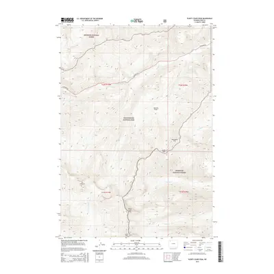
1951 Y U Bench NW
Park County, WY
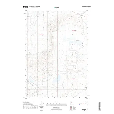
1956 Beartooth Butte
Park County, WY
1956 Dead Indian Peak
Park County, WY
1956 Pilot Peak
Park County, WY
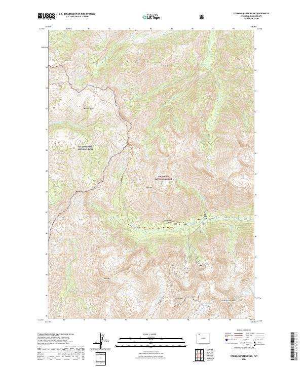
1956 Sunlight Peak
Park County, WY
1957 Devils Tooth
Park County, WY
1957 Irish Rock
Park County, WY
1957 Sunshine Reservoir
Park County, WY
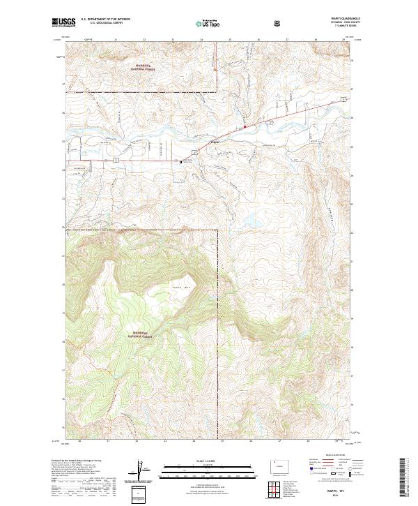
1957 Wapiti
Park County, WY
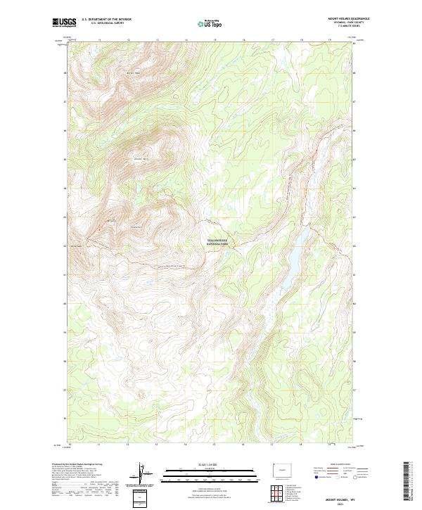
1958 Mount Holmes
Park County, WY
1958 Norris Junction
Park County, WY
1959 Canyon Village
Park County, WY
1959 Eagle Peak
Park County, WY
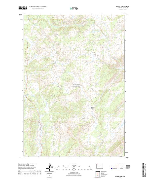
1959 Pelican Cone
Park County, WY
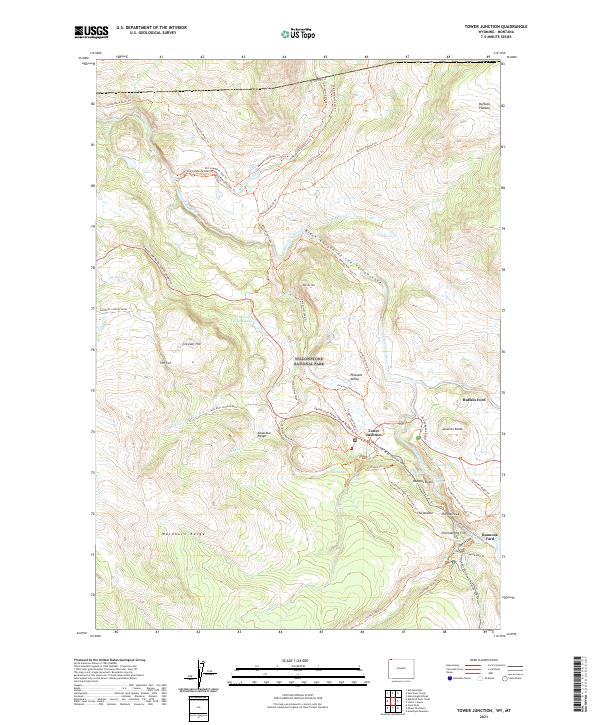
1959 Tower Junction
Park County, WY
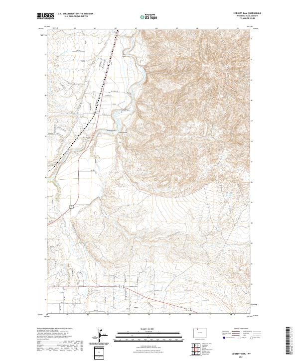
1966 Corbett Dam
Park County, WY
1966 Deaver Reservoir
Park County, WY
1966 Elk Basin NW
Park County, WY
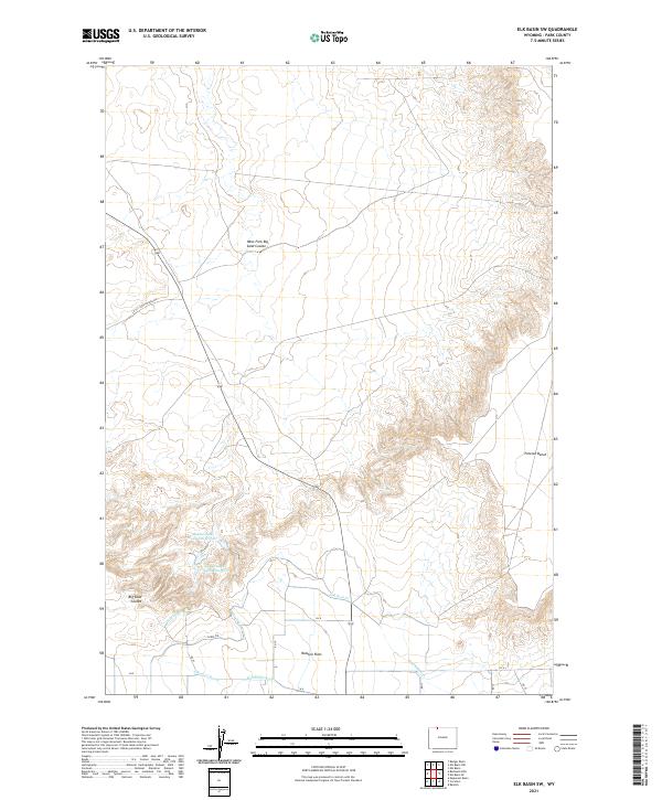
1966 Elk Basin
Park County, WY
1966 Elk Basin SE
Park County, WY
1966 Elk Basin SW
Park County, WY
1966 Gilmore Hill NW
Park County, WY
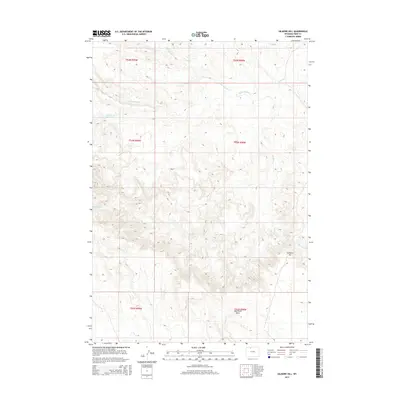
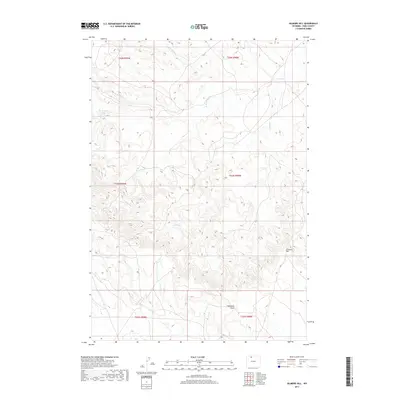
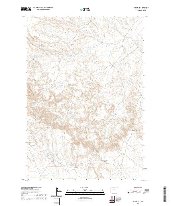
1966 Gilmore Hill
Park County, WY
1966 Stone Barn Camp
Park County, WY
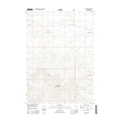
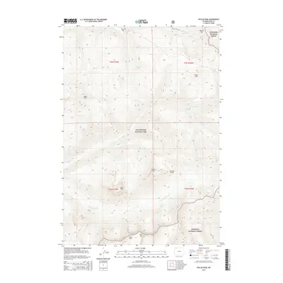
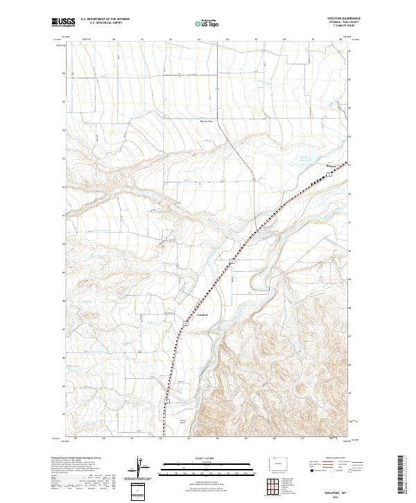
1966 Vocation
Park County, WY
1969 Dick Creek Lakes
Park County, WY
1969 Francs Peak
Park County, WY
1969 Mount Burwell
Park County, WY
1969 Noon Point
Park County, WY
1970 Chimney Rock
Park County, WY
1970 Clayton Mountain
Park County, WY
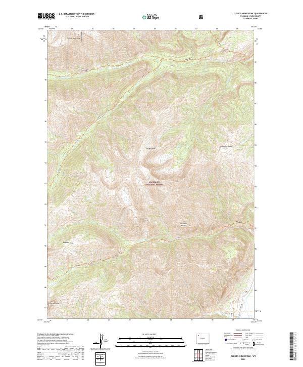
1970 Clouds Home Peak
Park County, WY
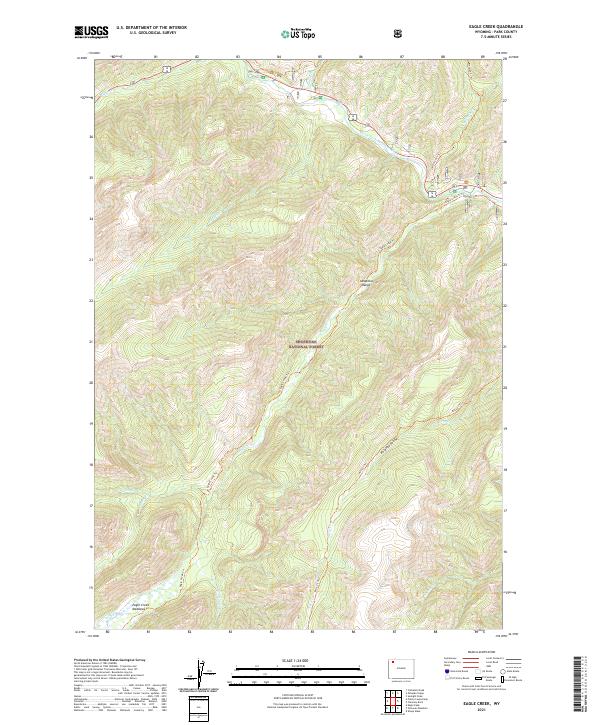
1970 Eagle Creek
Park County, WY
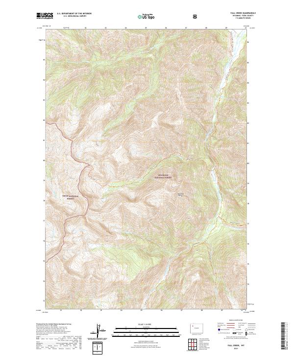
1970 Fall Creek
Park County, WY
1970 Flag Peak
Park County, WY
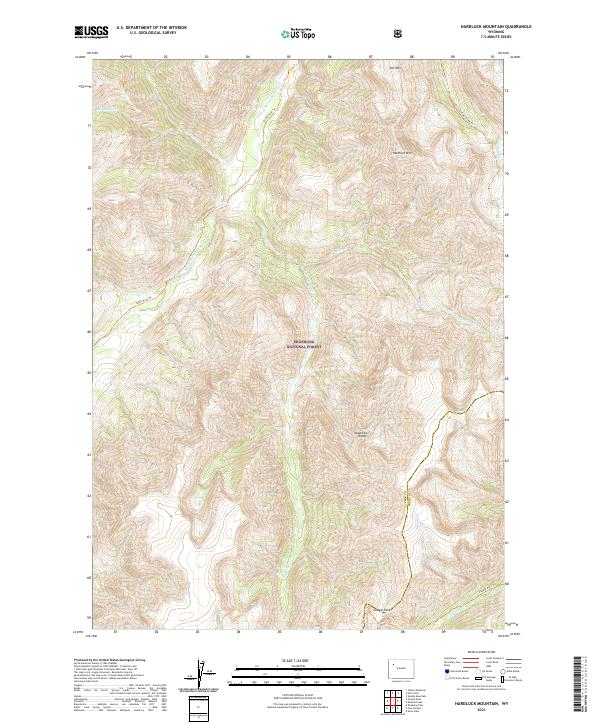
1970 Hardluck Mountain
Park County, WY
1970 Lake Creek
Park County, WY
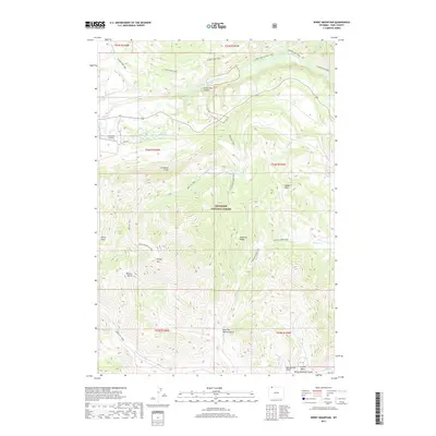
1970 Needle Mountain
Park County, WY
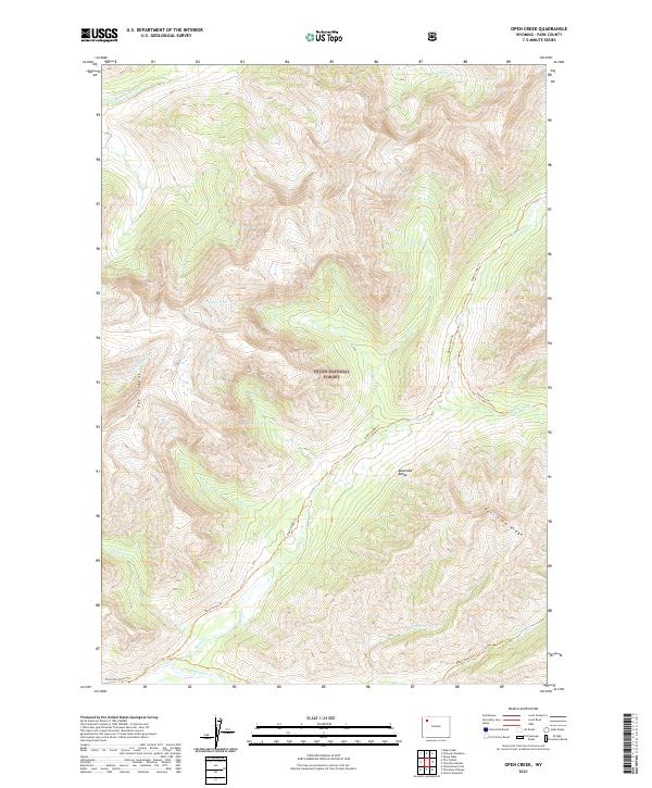
1970 Open Creek
Park County, WY
1970 Pinnacle Mountain
Park County, WY
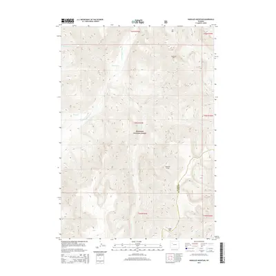
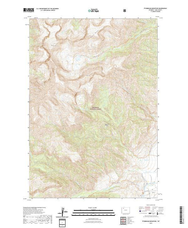
1970 Ptarmigan Mountain
Park County, WY
1970 Sheep Mesa
Park County, WY
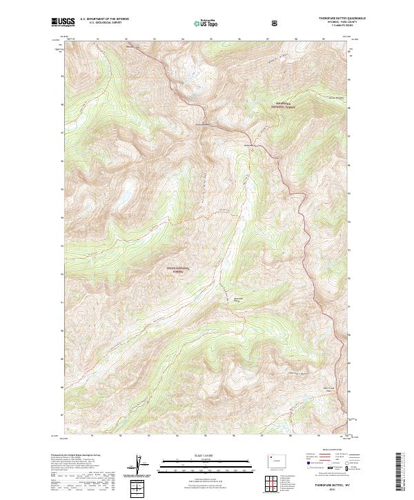
1970 Thorofare Buttes
Park County, WY
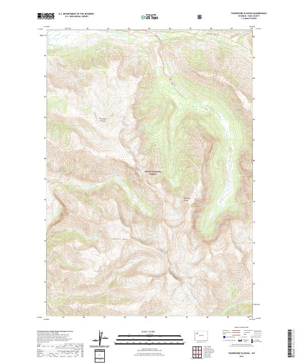
1970 Thorofare Plateau
Park County, WY
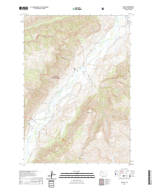
1970 Valley
Park County, WY
1970 Yellow Mountain
Park County, WY
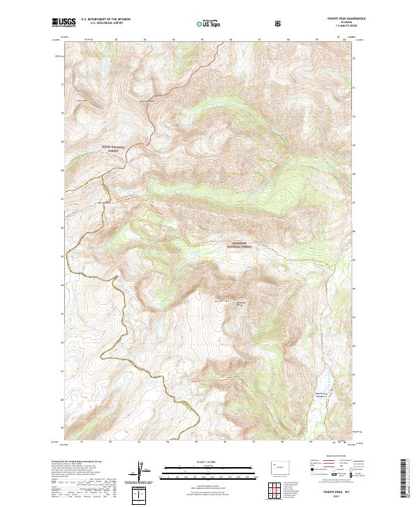
1970 Younts Peak
Park County, WY
1980 Carter Mountain
Park County, WY
1983 Yellowstone National Park North
Park County, WY
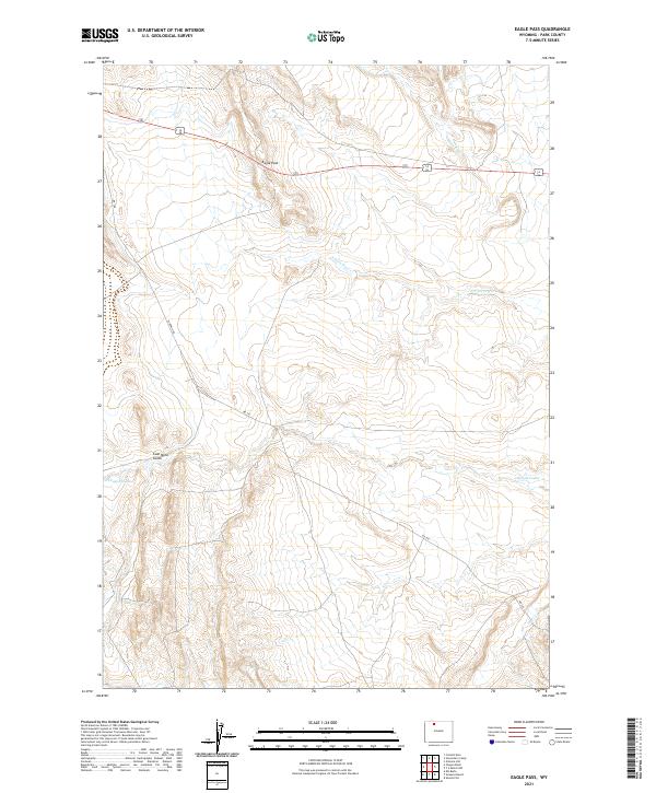
1985 Eagle Pass
Park County, WY
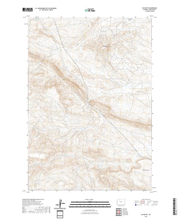
1985 Elk Butte
Park County, WY
1985 Iron Creek
Park County, WY
1985 Little Buffalo Basin
Park County, WY
1985 Meeteetse East
Park County, WY
1985 Meeteetse West
Park County, WY
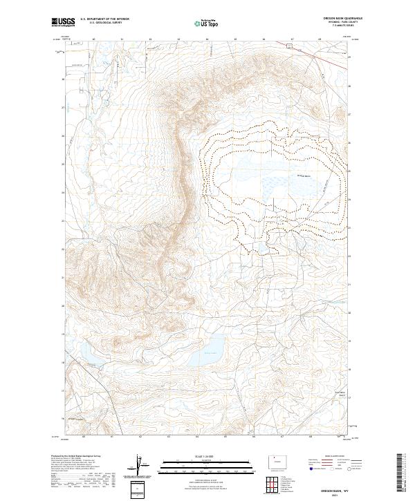
1985 Oregon Basin
Park County, WY
1985 Sleepers Ranch
Park County, WY
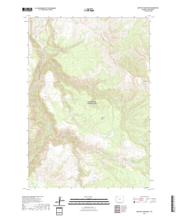
1986 Amethyst Mountain
Park County, WY
1986 Blacktail Deer Creek
Park County, WY
1986 Canyon Village
Park County, WY
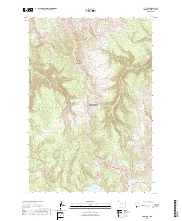
1986 Cook Peak
Park County, WY
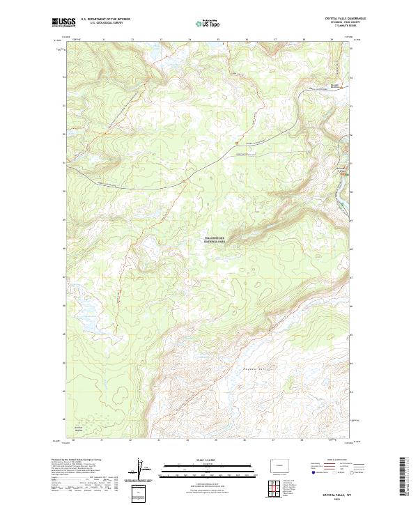
1986 Crystal Falls
Park County, WY
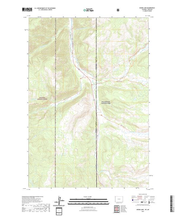
1986 Divide Lake
Park County, WY
1986 Joseph Peak
Park County, WY
1986 Lake Butte
Park County, WY
1986 Lamar Canyon
Park County, WY
1986 Madison Junction
Park County, WY
1986 Mount Holmes
Park County, WY
1986 Mount Jackson
Park County, WY
1986 Mount Washburn
Park County, WY
1986 Norris Junction
Park County, WY
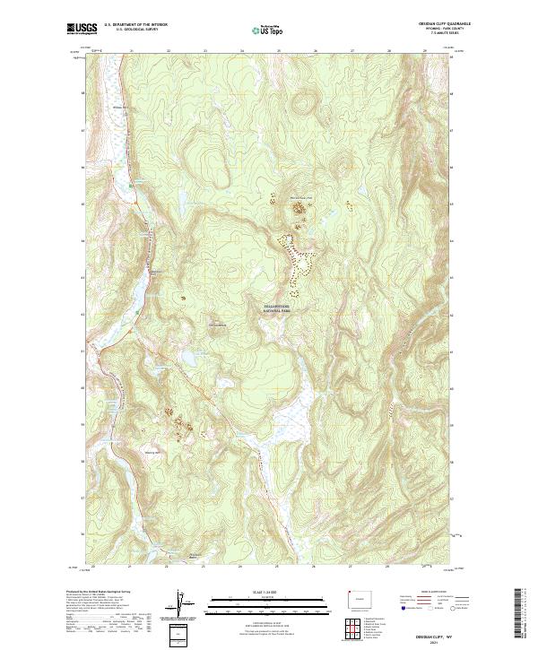
1986 Obsidian Cliff
Park County, WY
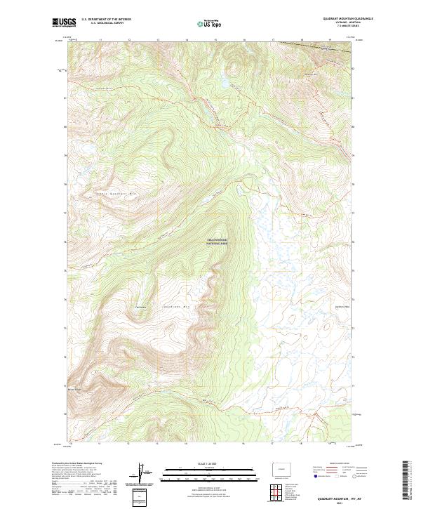
1986 Quadrant Mountain
Park County, WY
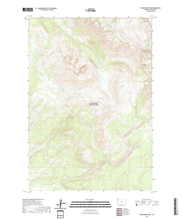
1986 Three Rivers Peak
Park County, WY
1986 Tower Junction
Park County, WY
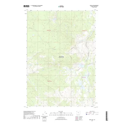
1986 White Lake
Park County, WY
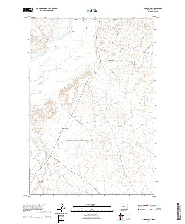
1987 Badger Basin
Park County, WY
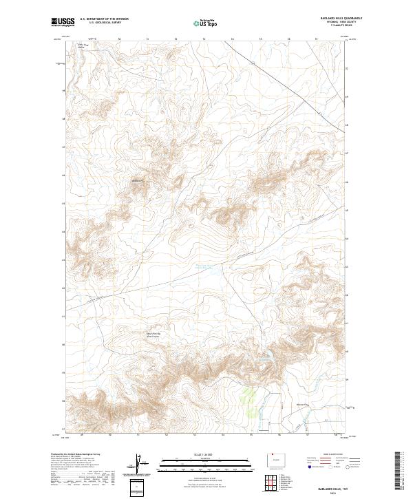
1987 Badland Hills
Park County, WY
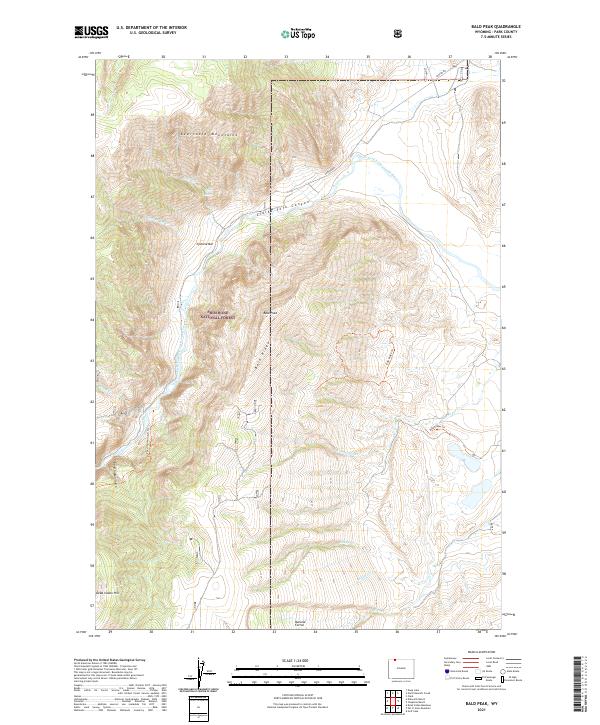
1987 Bald Peak
Park County, WY
1987 Castle Rock Creek
Park County, WY
1987 Chapman Bench
Park County, WY
1987 Clark
Park County, WY
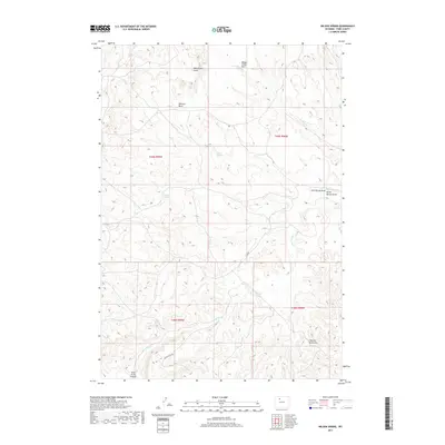
1987 Dead Indian Meadows
Park County, WY

1987 Deep Lake
Park County, WY
1987 Devils Tooth
Park County, WY
1987 Dillworth Bench
Park County, WY
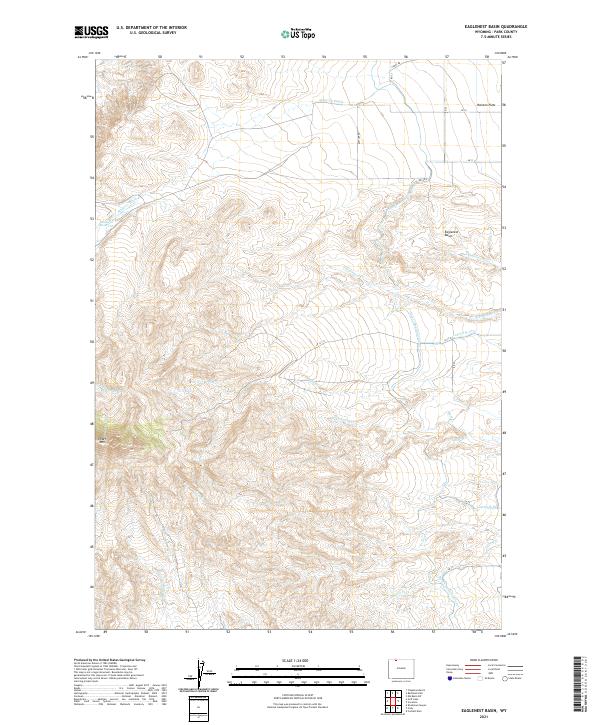
1987 Eaglenest Basin
Park County, WY
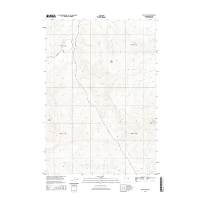
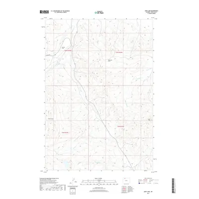
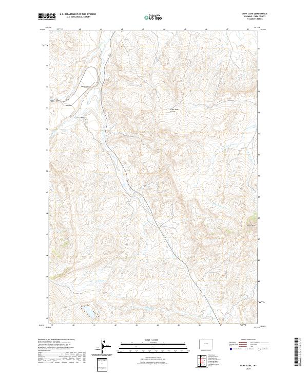
1987 Goff Lake
Park County, WY
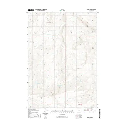
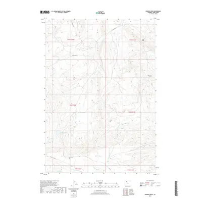
1987 Horner Creek
Park County, WY
1987 Indian Pass
Park County, WY
1987 Irish Rock
Park County, WY
1987 Irma Flats
Park County, WY
1987 Jim Mountain
Park County, WY
1987 Logan Mountain
Park County, WY
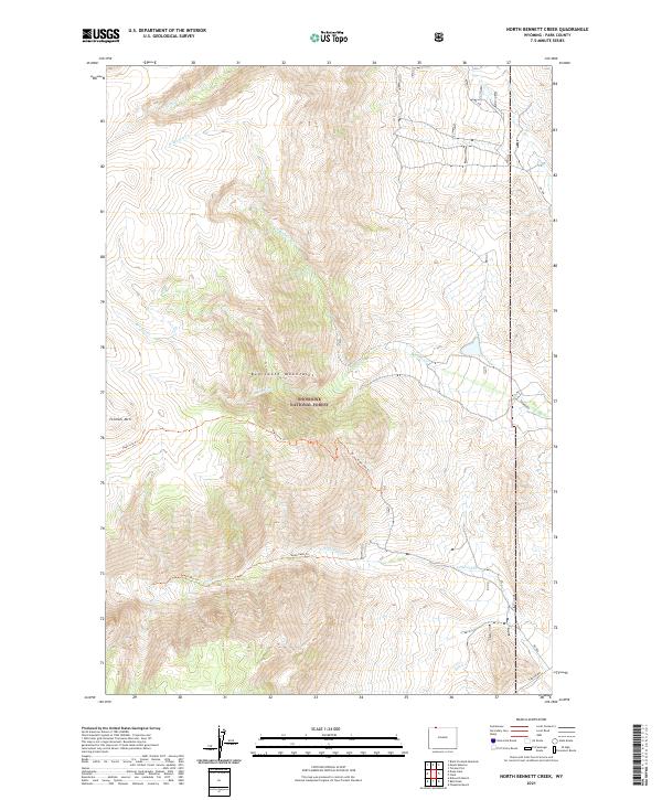
1987 North Bennett Creek
Park County, WY
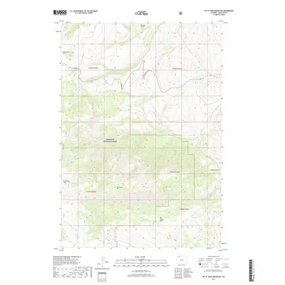
1987 Pat O' Hara Mountain
Park County, WY
1987 Phelps Mountain
Park County, WY
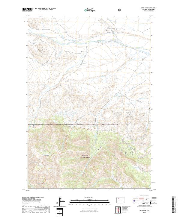
1987 Pitchfork
Park County, WY
1987 Shoshone Canyon
Park County, WY
1987 Sunshine Reservoir
Park County, WY
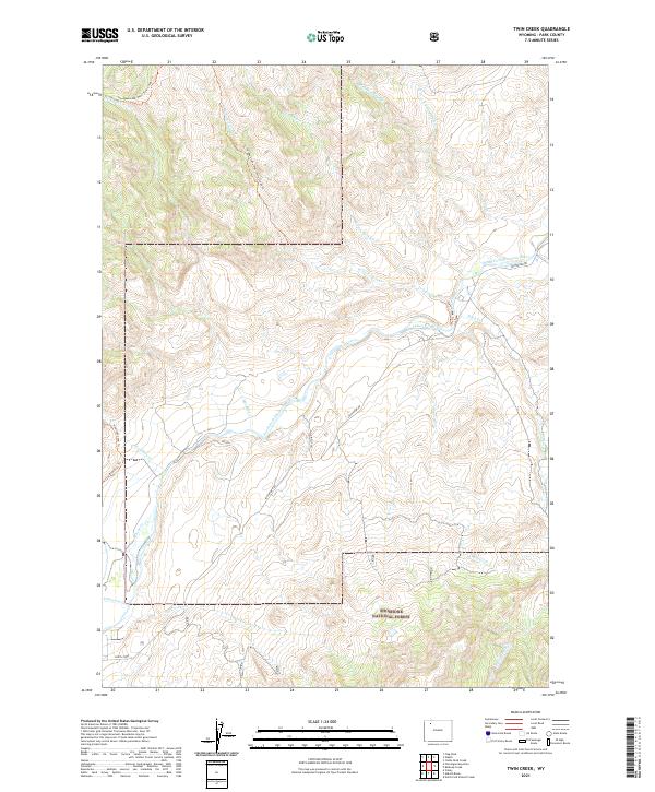
1987 Twin Creek
Park County, WY
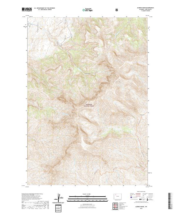
1988 Aldrich Basin
Park County, WY
1988 Belknap Creek
Park County, WY
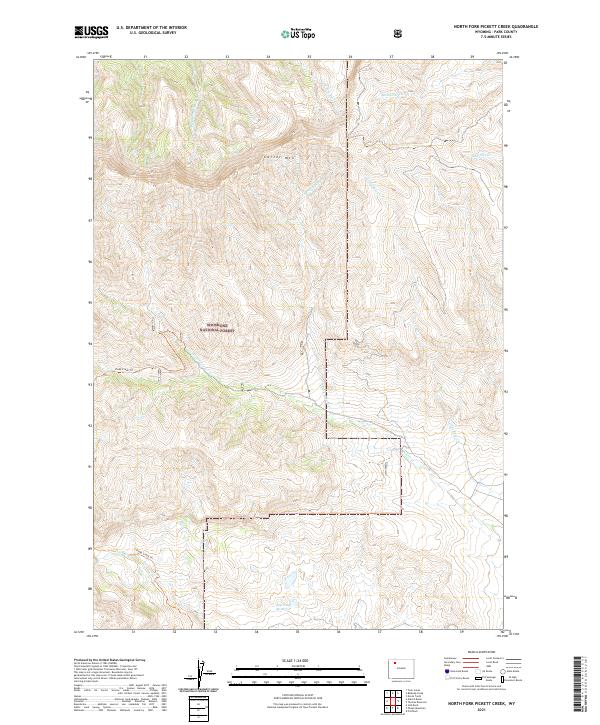
1988 North Fork Pickett Creek
Park County, WY
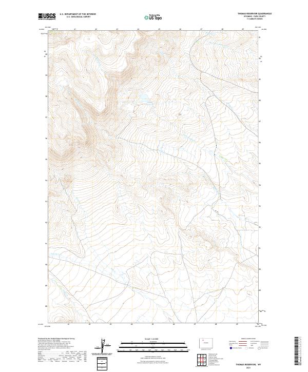
1988 Thomas Reservoir
Park County, WY
1988 Tonopah Ridge
Park County, WY
1988 Wapiti
Park County, WY
1989 Abiathar Peak
Park County, WY
1989 Beartooth Butte
Park County, WY
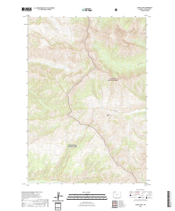
1989 Canoe Lake
Park County, WY
1989 Cathedral Peak
Park County, WY
1989 Dead Indian Peak
Park County, WY
1989 Eagle Peak
Park County, WY
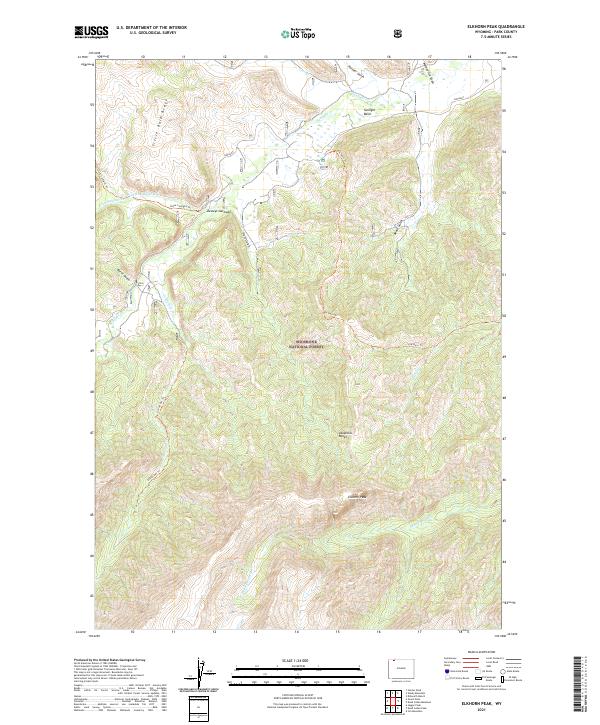
1989 Elkhorn Peak
Park County, WY
1989 Geers Point
Park County, WY
1989 Hunter Peak
Park County, WY
1989 Hurricane Mesa
Park County, WY
1989 Jaggar Peak
Park County, WY
1989 Jim Smith Peak
Park County, WY
1989 Little Saddle Mountain
Park County, WY
1989 Mount Chittenden
Park County, WY
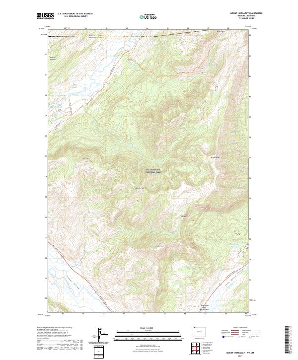
1989 Mount Hornaday
Park County, WY
1989 Muddy Creek
Park County, WY
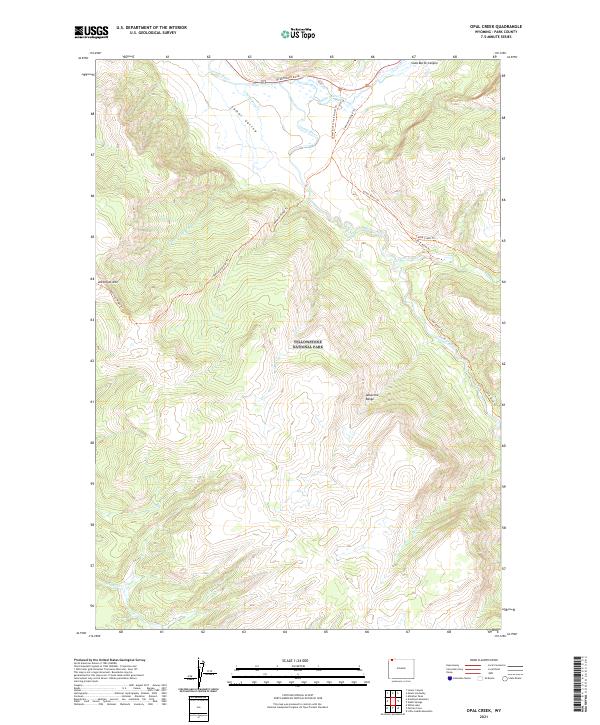
1989 Opal Creek
Park County, WY
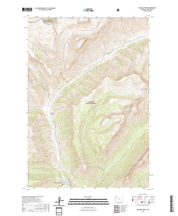
1989 Pahaska Tepee
Park County, WY
1989 Pelican Cone
Park County, WY
1989 Pilot Peak
Park County, WY
1989 Plenty Coups Peak
Park County, WY
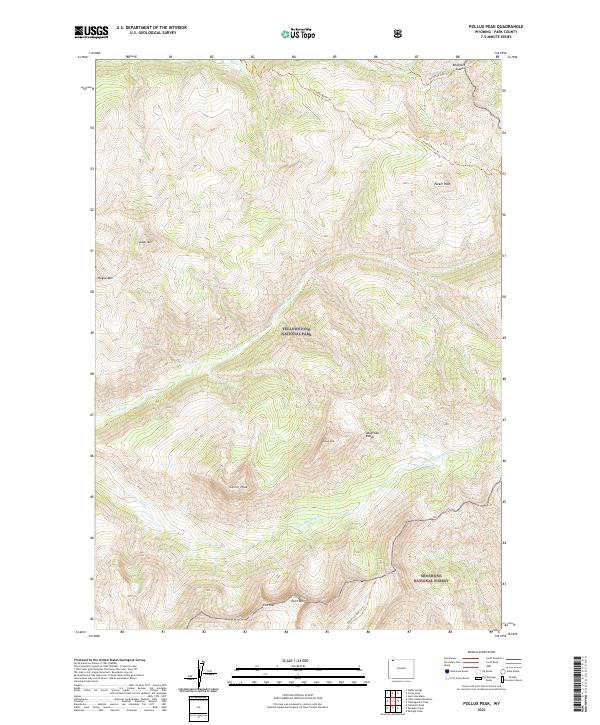
1989 Pollux Peak
Park County, WY
1989 Stinkingwater Peak
Park County, WY
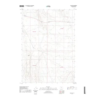
1989 Sunlight Peak
Park County, WY
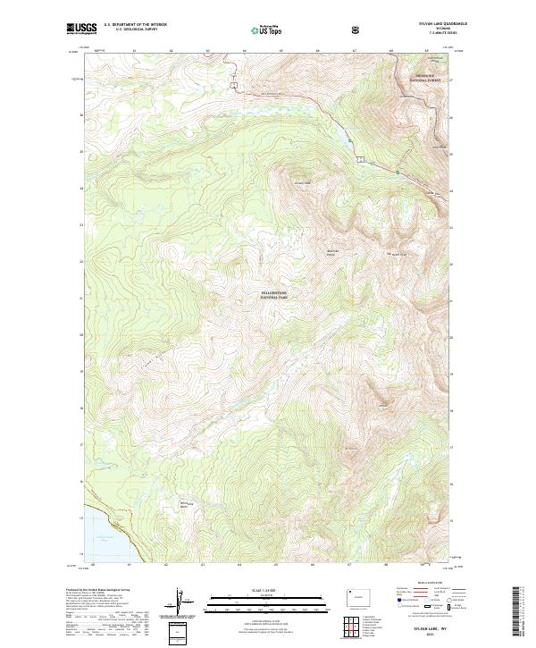
1989 Sylvan Lake
Park County, WY
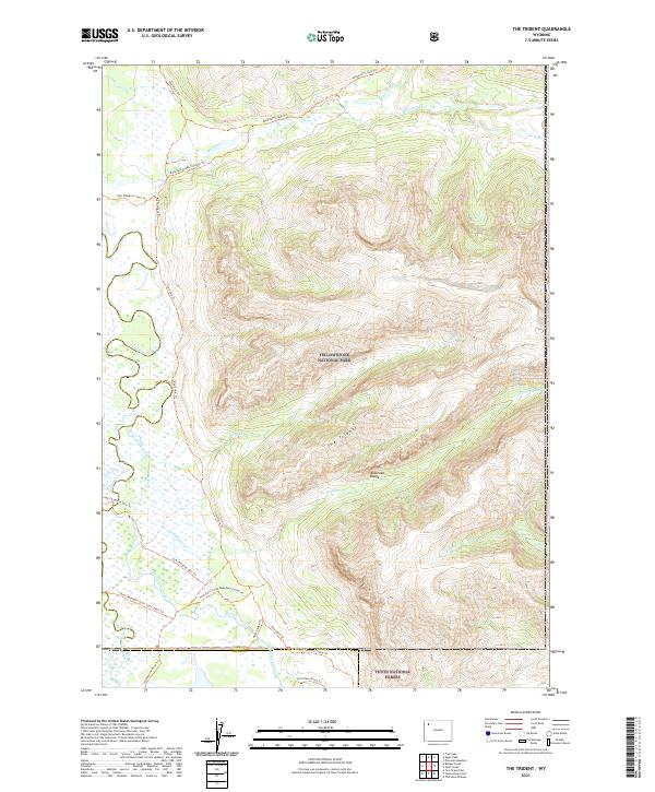
1989 The Trident
Park County, WY
1989 Trail Lake
Park County, WY
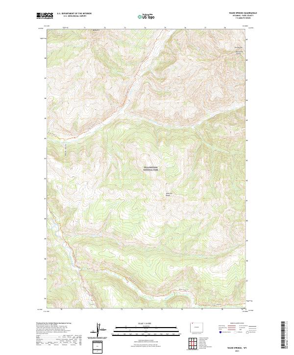
1989 Wahb Springs
Park County, WY
1989 Windy Mountain
Park County, WY
1991 Abiathar Peak
Park County, WY
1991 Aldrich Basin
Park County, WY
1991 Bald Peak
Park County, WY
1991 Beartooth Butte
Park County, WY
1991 Belknap Creek
Park County, WY
1991 Canoe Lake
Park County, WY
1991 Cathedral Peak
Park County, WY
1991 Chimney Rock
Park County, WY
1991 Clayton Mountain
Park County, WY
1991 Clouds Home Peak
Park County, WY
1991 Dead Indian Meadows
Park County, WY
1991 Dead Indian Peak
Park County, WY
1991 Deep Lake
Park County, WY
1991 Devils Tooth
Park County, WY
1991 Dick Creek Lakes
Park County, WY
1991 Dillworth Bench
Park County, WY
1991 Eagle Creek
Park County, WY
1991 Eagle Pass
Park County, WY
1991 Eagle Peak
Park County, WY
1991 Elkhorn Peak
Park County, WY
1991 Fall Creek
Park County, WY
1991 Flag Peak
Park County, WY
1991 Francs Peak
Park County, WY
1991 Geers Point
Park County, WY
1991 Hardluck Mountain
Park County, WY
1991 Hunter Peak
Park County, WY
1991 Hurricane Mesa
Park County, WY
1991 Irish Rock
Park County, WY
1991 Jaggar Peak
Park County, WY
1991 Jim Mountain
Park County, WY
1991 Jim Smith Peak
Park County, WY
1991 Lake Creek
Park County, WY
1991 Little Saddle Mountain
Park County, WY
1991 Logan Mountain
Park County, WY
1991 Mount Burwell
Park County, WY
1991 Mount Chittenden
Park County, WY
1991 Muddy Creek
Park County, WY
1991 Needle Mountain
Park County, WY
1991 Noon Point
Park County, WY
1991 North Bennett Creek
Park County, WY
1991 North Fork Pickett Creek
Park County, WY
1991 Pahaska Tepee
Park County, WY
1991 Pat O' Hara Mountain
Park County, WY
1991 Phelps Mountain
Park County, WY
1991 Pilot Peak
Park County, WY
1991 Pinnacle Mountain
Park County, WY
1991 Pitchfork
Park County, WY
1991 Plenty Coups Peak
Park County, WY
1991 Pollux Peak
Park County, WY
1991 Ptarmigan Mountain
Park County, WY
1991 Sheep Mesa
Park County, WY
1991 Stinkingwater Peak
Park County, WY
1991 Sunlight Peak
Park County, WY
1991 Sunshine Reservoir
Park County, WY
1991 Sylvan Lake
Park County, WY
1991 Thorofare Buttes
Park County, WY
1991 Twin Creek
Park County, WY
1991 Valley
Park County, WY

1991 Wapiti
Park County, WY
1991 Windy Mountain
Park County, WY
1991 Yellow Mountain
Park County, WY
1991 Younts Peak
Park County, WY
1996 Open Creek
Park County, WY
1996 The Trident
Park County, WY
1996 Thorofare Plateau
Park County, WY
2000 Divide Lake
Park County, WY
2011 Badger Basin
Park County, WY
2011 Blacktail Deer Creek
Park County, WY
2011 Deaver Reservoir
Park County, WY
2011 Divide Lake
Park County, WY
2011 Elk Basin NW
Park County, WY
2011 Elk Basin
Park County, WY
2011 Lamar Canyon
Park County, WY
2011 Mount Hornaday
Park County, WY
2011 Quadrant Mountain
Park County, WY
2011 Tower Junction
Park County, WY
2012 Abiathar Peak
Park County, WY
2012 Aldrich Basin
Park County, WY
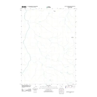
2012 Amethyst Mountain
Park County, WY
2012 Badger Basin
Park County, WY
2012 Badlands Hills
Park County, WY
2012 Bald Peak
Park County, WY
2012 Beartooth Butte
Park County, WY
2012 Belknap Creek
Park County, WY

2012 Blacktail Deer Creek
Park County, WY
2012 Canoe Lake
Park County, WY
2012 Canyon Village
Park County, WY
2012 Castle Rock Creek
Park County, WY
2012 Cathedral Peak
Park County, WY
2012 Chapman Bench
Park County, WY
2012 Chimney Rock
Park County, WY
2012 Clark
Park County, WY
2012 Clayton Mountain
Park County, WY
2012 Clouds Home Peak
Park County, WY
2012 Cook Peak
Park County, WY
2012 Corbett Dam
Park County, WY
2012 Crystal Falls
Park County, WY
2012 Dead Indian Hill
Park County, WY
2012 Dead Indian Meadows
Park County, WY
2012 Dead Indian Peak
Park County, WY
2012 Deaver Reservoir
Park County, WY
2012 Deep Lake
Park County, WY
2012 Devils Tooth
Park County, WY
2012 Dick Creek Lakes
Park County, WY
2012 Dillworth Bench
Park County, WY
2012 Eagle Creek
Park County, WY
2012 Eaglenest Basin
Park County, WY
2012 Eagle Pass
Park County, WY
2012 Eagle Peak
Park County, WY
2012 Elk Basin NW
Park County, WY
2012 Elk Basin
Park County, WY
2012 Elk Basin SE
Park County, WY

2012 Elk Basin SW
Park County, WY
2012 Elk Butte
Park County, WY
2012 Elkhorn Peak
Park County, WY
2012 Fall Creek
Park County, WY
2012 Flag Peak
Park County, WY
2012 Francs Peak
Park County, WY
2012 Geers Point
Park County, WY
2012 Gilmore Hill NW
Park County, WY
2012 Gilmore Hill
Park County, WY
2012 Goff Lake
Park County, WY
2012 Hardluck Mountain
Park County, WY
2012 Horner Creek
Park County, WY
2012 Hunter Peak
Park County, WY
2012 Hurricane Mesa
Park County, WY
2012 Indian Pass
Park County, WY
2012 Irish Rock
Park County, WY
2012 Irma Flats
Park County, WY
2012 Iron Creek
Park County, WY
2012 Jaggar Peak
Park County, WY
2012 Jim Mountain
Park County, WY
2012 Jim Smith Peak
Park County, WY
2012 Joseph Peak
Park County, WY
2012 Lake Butte
Park County, WY
2012 Lake Creek
Park County, WY
2012 Lamar Canyon
Park County, WY
2012 Little Buffalo Basin
Park County, WY
2012 Little Saddle Mountain
Park County, WY
2012 Logan Mountain
Park County, WY
2012 Madison Junction
Park County, WY
2012 Meeteetse East
Park County, WY
2012 Meeteetse West
Park County, WY
2012 Mount Burwell
Park County, WY
2012 Mount Chittenden
Park County, WY
2012 Mount Holmes
Park County, WY
2012 Mount Hornaday
Park County, WY
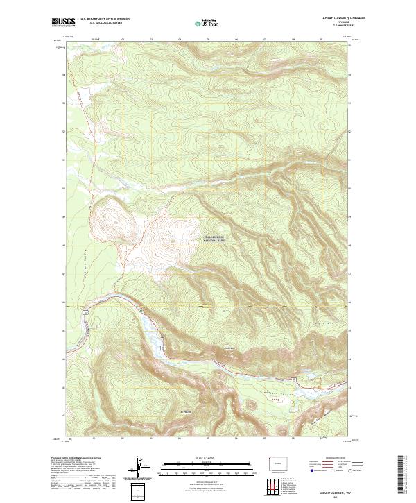
2012 Mount Jackson
Park County, WY
2012 Mount Washburn
Park County, WY
2012 Muddy Creek
Park County, WY
2012 Needle Mountain
Park County, WY
2012 Noon Point
Park County, WY
2012 Norris Junction
Park County, WY
2012 North Bennett Creek
Park County, WY
2012 North Fork Pickett Creek
Park County, WY
2012 Obsidian Cliff
Park County, WY
2012 Opal Creek
Park County, WY
2012 Open Creek
Park County, WY
2012 Oregon Basin
Park County, WY
2012 Pahaska Tepee
Park County, WY
2012 Pat O' Hara Mountain
Park County, WY
2012 Pelican Cone
Park County, WY
2012 Phelps Mountain
Park County, WY
2012 Pilot Peak
Park County, WY
2012 Pinnacle Mountain
Park County, WY
2012 Pitchfork
Park County, WY
2012 Plenty Coups Peak
Park County, WY
2012 Pollux Peak
Park County, WY
2012 Ptarmigan Mountain
Park County, WY
2012 Quadrant Mountain
Park County, WY
2012 Sheep Mesa
Park County, WY
2012 Sheets Flat
Park County, WY
2012 Shoshone Canyon
Park County, WY
2012 Sleepers Ranch
Park County, WY
2012 Stinkingwater Peak
Park County, WY
2012 Stone Barn Camp
Park County, WY
2012 Sunlight Peak
Park County, WY
2012 Sunshine Reservoir
Park County, WY
2012 Sylvan Lake
Park County, WY
2012 The Trident
Park County, WY
2012 Thomas Reservoir
Park County, WY
2012 Thorofare Buttes
Park County, WY
2012 Thorofare Plateau
Park County, WY
2012 Three Rivers Peak
Park County, WY
2012 Tonopah Ridge
Park County, WY
2012 Tower Junction
Park County, WY
2012 Trail Lake
Park County, WY
2012 Twin Creek
Park County, WY
2012 Valley
Park County, WY
2012 Vocation
Park County, WY
2012 Wahb Springs
Park County, WY
2012 Wapiti
Park County, WY
2012 White Lake
Park County, WY
2012 Wilson Spring
Park County, WY
2012 Windy Mountain
Park County, WY
2012 Yellow Mountain
Park County, WY
2012 Younts Peak
Park County, WY
2012 Y U Bench NW
Park County, WY
2015 Abiathar Peak
Park County, WY
2015 Aldrich Basin
Park County, WY
2015 Amethyst Mountain
Park County, WY
2015 Badger Basin
Park County, WY
2015 Badlands Hills
Park County, WY
2015 Bald Peak
Park County, WY
2015 Beartooth Butte
Park County, WY
2015 Belknap Creek
Park County, WY
2015 Blacktail Deer Creek
Park County, WY
2015 Canoe Lake
Park County, WY
2015 Canyon Village
Park County, WY
2015 Castle Rock Creek
Park County, WY
2015 Cathedral Peak
Park County, WY
2015 Chapman Bench
Park County, WY
2015 Chimney Rock
Park County, WY
2015 Clark
Park County, WY
2015 Clayton Mountain
Park County, WY
2015 Clouds Home Peak
Park County, WY
2015 Cook Peak
Park County, WY
2015 Corbett Dam
Park County, WY
2015 Crystal Falls
Park County, WY
2015 Dead Indian Hill
Park County, WY
2015 Dead Indian Meadows
Park County, WY
2015 Dead Indian Peak
Park County, WY
2015 Deaver Reservoir
Park County, WY
2015 Deep Lake
Park County, WY
2015 Devils Tooth
Park County, WY
2015 Dick Creek Lakes
Park County, WY
2015 Dillworth Bench
Park County, WY
2015 Divide Lake
Park County, WY
2015 Eagle Creek
Park County, WY
2015 Eaglenest Basin
Park County, WY
2015 Eagle Pass
Park County, WY
2015 Eagle Peak
Park County, WY
2015 Elk Basin NW
Park County, WY
2015 Elk Basin
Park County, WY
2015 Elk Basin SE
Park County, WY
2015 Elk Basin SW
Park County, WY
2015 Elk Butte
Park County, WY
2015 Elkhorn Peak
Park County, WY
2015 Fall Creek
Park County, WY
2015 Flag Peak
Park County, WY
2015 Francs Peak
Park County, WY
2015 Geers Point
Park County, WY
2015 Gilmore Hill NW
Park County, WY
2015 Gilmore Hill
Park County, WY
2015 Goff Lake
Park County, WY
2015 Hardluck Mountain
Park County, WY
2015 Horner Creek
Park County, WY
2015 Hunter Peak
Park County, WY
2015 Hurricane Mesa
Park County, WY
2015 Indian Pass
Park County, WY
2015 Irish Rock
Park County, WY
2015 Irma Flats
Park County, WY
2015 Iron Creek
Park County, WY
2015 Jaggar Peak
Park County, WY
2015 Jim Mountain
Park County, WY
2015 Jim Smith Peak
Park County, WY
2015 Joseph Peak
Park County, WY
2015 Lake Butte
Park County, WY
2015 Lake Creek
Park County, WY
2015 Lamar Canyon
Park County, WY
2015 Little Buffalo Basin
Park County, WY
2015 Little Saddle Mountain
Park County, WY
2015 Logan Mountain
Park County, WY
2015 Madison Junction
Park County, WY
2015 Meeteetse East
Park County, WY
2015 Meeteetse West
Park County, WY
2015 Mount Burwell
Park County, WY
2015 Mount Chittenden
Park County, WY
2015 Mount Holmes
Park County, WY
2015 Mount Hornaday
Park County, WY
2015 Mount Jackson
Park County, WY
2015 Mount Washburn
Park County, WY
2015 Muddy Creek
Park County, WY
2015 Needle Mountain
Park County, WY
2015 Noon Point
Park County, WY
2015 Norris Junction
Park County, WY
2015 North Bennett Creek
Park County, WY
2015 North Fork Pickett Creek
Park County, WY
2015 Obsidian Cliff
Park County, WY
2015 Opal Creek
Park County, WY

2015 Open Creek
Park County, WY
2015 Oregon Basin
Park County, WY
2015 Pahaska Tepee
Park County, WY
2015 Pat O' Hara Mountain
Park County, WY
2015 Pelican Cone
Park County, WY
2015 Phelps Mountain
Park County, WY
2015 Pilot Peak
Park County, WY
2015 Pinnacle Mountain
Park County, WY
2015 Pitchfork
Park County, WY
2015 Plenty Coups Peak
Park County, WY
2015 Pollux Peak
Park County, WY
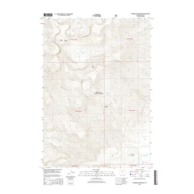
2015 Ptarmigan Mountain
Park County, WY
2015 Quadrant Mountain
Park County, WY
2015 Sheep Mesa
Park County, WY
2015 Sheets Flat
Park County, WY
2015 Shoshone Canyon
Park County, WY
2015 Sleepers Ranch
Park County, WY
2015 Stinkingwater Peak
Park County, WY

2015 Stone Barn Camp
Park County, WY
2015 Sunlight Peak
Park County, WY
2015 Sunshine Reservoir
Park County, WY
2015 Sylvan Lake
Park County, WY
2015 The Trident
Park County, WY
2015 Thomas Reservoir
Park County, WY
2015 Thorofare Buttes
Park County, WY
2015 Thorofare Plateau
Park County, WY
2015 Three Rivers Peak
Park County, WY
2015 Tonopah Ridge
Park County, WY
2015 Tower Junction
Park County, WY
2015 Trail Lake
Park County, WY
2015 Twin Creek
Park County, WY
2015 Valley
Park County, WY
2015 Vocation
Park County, WY
2015 Wahb Springs
Park County, WY
2015 Wapiti
Park County, WY
2015 White Lake
Park County, WY
2015 Wilson Spring
Park County, WY
2015 Windy Mountain
Park County, WY
2015 Yellow Mountain
Park County, WY
2015 Younts Peak
Park County, WY
2015 Y U Bench NW
Park County, WY
2017 Aldrich Basin
Park County, WY
2017 Amethyst Mountain
Park County, WY
2017 Badger Basin
Park County, WY
2017 Badlands Hills
Park County, WY
2017 Bald Peak
Park County, WY
2017 Beartooth Butte
Park County, WY
2017 Belknap Creek
Park County, WY
2017 Blacktail Deer Creek
Park County, WY
2017 Canoe Lake
Park County, WY
2017 Canyon Village
Park County, WY
2017 Castle Rock Creek
Park County, WY
2017 Cathedral Peak
Park County, WY
2017 Chapman Bench
Park County, WY
2017 Chimney Rock
Park County, WY
2017 Clark
Park County, WY
2017 Clayton Mountain
Park County, WY
2017 Clouds Home Peak
Park County, WY
2017 Cook Peak
Park County, WY
2017 Corbett Dam
Park County, WY
2017 Crystal Falls
Park County, WY
2017 Dead Indian Meadows
Park County, WY
2017 Dead Indian Peak
Park County, WY
2017 Deaver Reservoir
Park County, WY
2017 Deep Lake
Park County, WY
2017 Devils Tooth
Park County, WY
2017 Dick Creek Lakes
Park County, WY
2017 Dillworth Bench
Park County, WY
2017 Eagle Creek
Park County, WY
2017 Eaglenest Basin
Park County, WY
2017 Eagle Pass
Park County, WY
2017 Eagle Peak
Park County, WY
2017 Elk Basin NW
Park County, WY
2017 Elk Basin
Park County, WY
2017 Elk Basin SW
Park County, WY
2017 Elk Butte
Park County, WY
2017 Elkhorn Peak
Park County, WY
2017 Fall Creek
Park County, WY
2017 Flag Peak
Park County, WY
2017 Francs Peak
Park County, WY
2017 Geers Point
Park County, WY
2017 Gilmore Hill NW
Park County, WY
2017 Gilmore Hill
Park County, WY
2017 Goff Lake
Park County, WY
2017 Horner Creek
Park County, WY
2017 Hunter Peak
Park County, WY
2017 Hurricane Mesa
Park County, WY
2017 Indian Pass
Park County, WY
2017 Irish Rock
Park County, WY
2017 Irma Flats
Park County, WY
2017 Iron Creek
Park County, WY
2017 Jaggar Peak
Park County, WY
2017 Jim Mountain
Park County, WY
2017 Jim Smith Peak
Park County, WY
2017 Joseph Peak
Park County, WY
2017 Lake Butte
Park County, WY
2017 Lake Creek
Park County, WY
2017 Lamar Canyon
Park County, WY
2017 Little Buffalo Basin
Park County, WY
2017 Little Saddle Mountain
Park County, WY
2017 Logan Mountain
Park County, WY
2017 Madison Junction
Park County, WY
2017 Meeteetse East
Park County, WY
2017 Meeteetse West
Park County, WY
2017 Mount Burwell
Park County, WY
2017 Mount Chittenden
Park County, WY
2017 Mount Holmes
Park County, WY
2017 Mount Hornaday
Park County, WY
2017 Mount Jackson
Park County, WY
2017 Mount Washburn
Park County, WY
2017 Muddy Creek
Park County, WY
2017 Needle Mountain
Park County, WY
2017 Noon Point
Park County, WY
2017 Norris Junction
Park County, WY
2017 North Bennett Creek
Park County, WY
2017 Obsidian Cliff
Park County, WY
2017 Opal Creek
Park County, WY
2017 Open Creek
Park County, WY
2017 Oregon Basin
Park County, WY
2017 Pat O' Hara Mountain
Park County, WY
2017 Pelican Cone
Park County, WY
2017 Phelps Mountain
Park County, WY
2017 Pilot Peak
Park County, WY
2017 Pinnacle Mountain
Park County, WY
2017 Pitchfork
Park County, WY
2017 Pollux Peak
Park County, WY
2017 Ptarmigan Mountain
Park County, WY
2017 Quadrant Mountain
Park County, WY
2017 Sheep Mesa
Park County, WY
2017 Sheets Flat
Park County, WY
2017 Shoshone Canyon
Park County, WY
2017 Sleepers Ranch
Park County, WY
2017 Stinkingwater Peak
Park County, WY
2017 Stone Barn Camp
Park County, WY
2017 Sunlight Peak
Park County, WY
2017 Sunshine Reservoir
Park County, WY
2017 Sylvan Lake
Park County, WY
2017 The Trident
Park County, WY
2017 Thorofare Buttes
Park County, WY
2017 Thorofare Plateau
Park County, WY
2017 Three Rivers Peak
Park County, WY
2017 Tonopah Ridge
Park County, WY
2017 Tower Junction
Park County, WY
2017 Trail Lake
Park County, WY
2017 Twin Creek
Park County, WY
2017 Valley
Park County, WY
2017 Vocation
Park County, WY
2017 Wahb Springs
Park County, WY
2017 Wapiti
Park County, WY
2017 White Lake
Park County, WY
2017 Wilson Spring
Park County, WY
2017 Windy Mountain
Park County, WY
2017 Yellow Mountain
Park County, WY
2017 Younts Peak
Park County, WY
2017 Y U Bench NW
Park County, WY
2018 Abiathar Peak
Park County, WY
2018 Dead Indian Hill
Park County, WY
2018 Divide Lake
Park County, WY
2018 Elk Basin SE
Park County, WY
2018 Hardluck Mountain
Park County, WY
2018 North Fork Pickett Creek
Park County, WY
2018 Pahaska Tepee
Park County, WY
2018 Plenty Coups Peak
Park County, WY
2018 Thomas Reservoir
Park County, WY
2021 Abiathar Peak
Park County, WY
2021 Aldrich Basin
Park County, WY
2021 Amethyst Mountain
Park County, WY
2021 Badger Basin
Park County, WY
2021 Badlands Hills
Park County, WY
2021 Bald Peak
Park County, WY
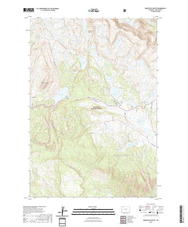
2021 Beartooth Butte
Park County, WY
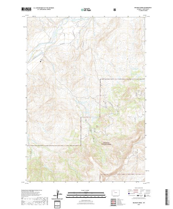
2021 Belknap Creek
Park County, WY
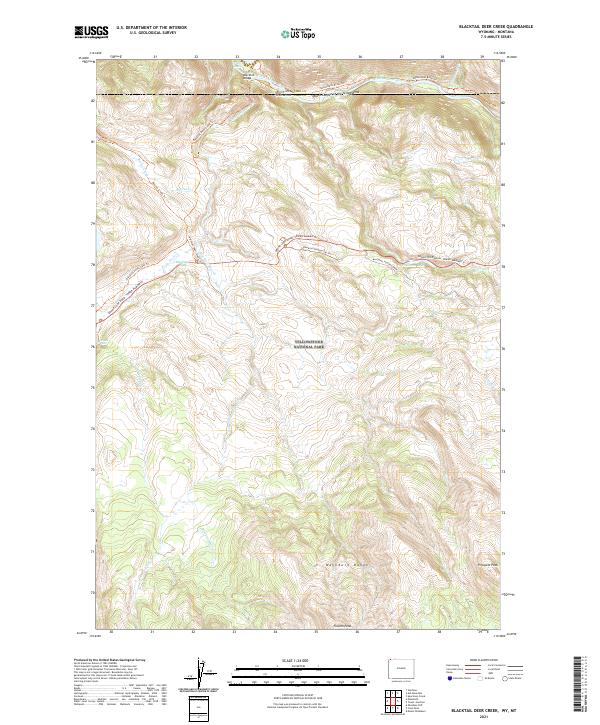
2021 Blacktail Deer Creek
Park County, WY
2021 Canoe Lake
Park County, WY
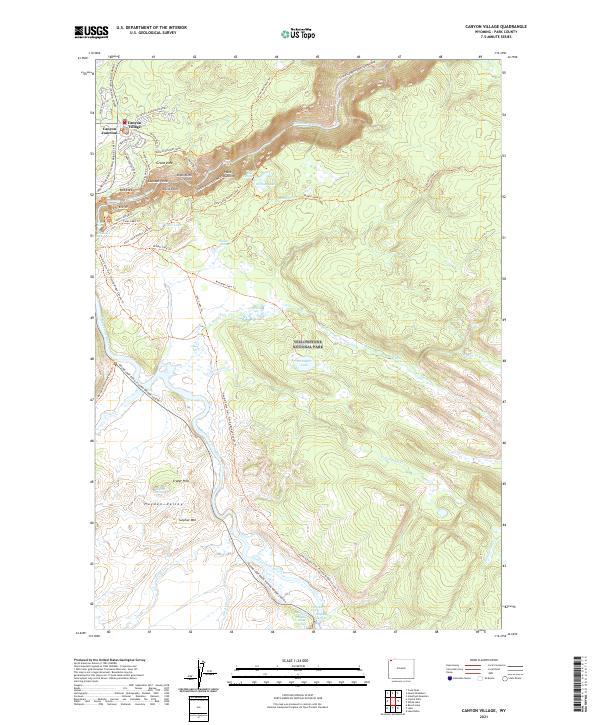
2021 Canyon Village
Park County, WY
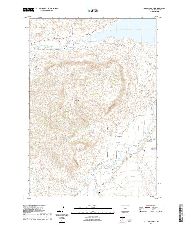
2021 Castle Rock Creek
Park County, WY
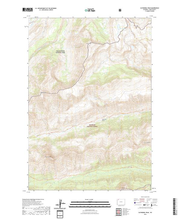
2021 Cathedral Peak
Park County, WY
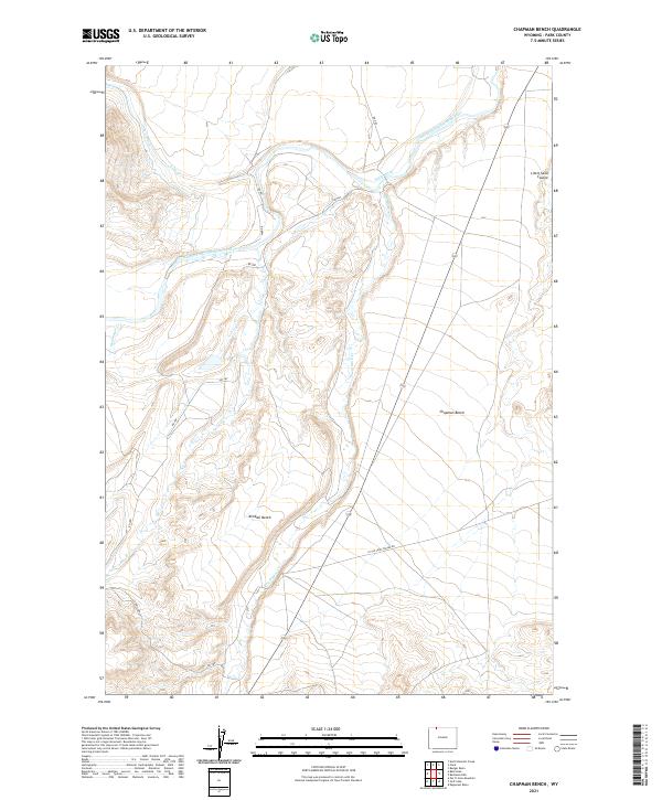
2021 Chapman Bench
Park County, WY
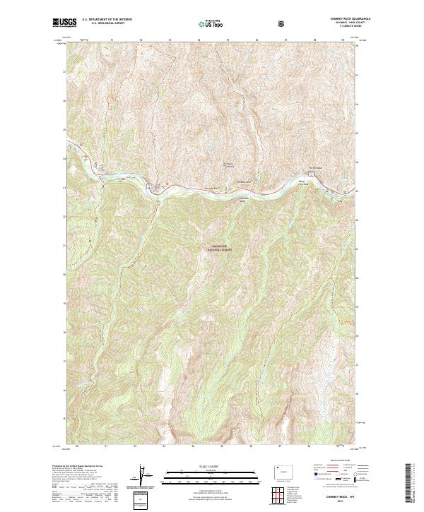
2021 Chimney Rock
Park County, WY
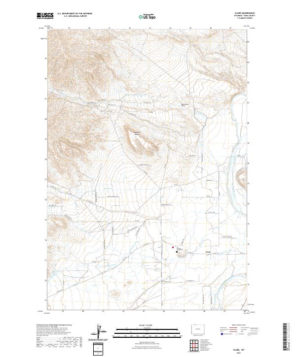
2021 Clark
Park County, WY
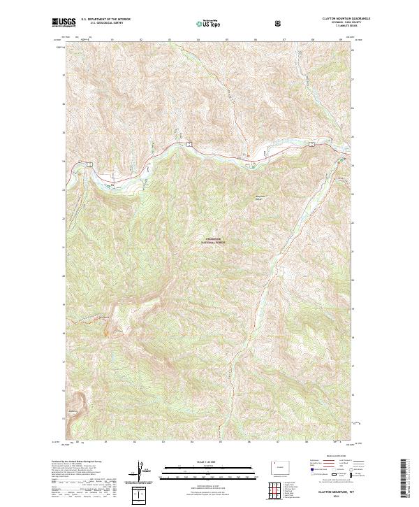
2021 Clayton Mountain
Park County, WY
2021 Clouds Home Peak
Park County, WY
2021 Cook Peak
Park County, WY
2021 Corbett Dam
Park County, WY
2021 Crystal Falls
Park County, WY
2021 Dead Indian Hill
Park County, WY
2021 Dead Indian Meadows
Park County, WY
2021 Dead Indian Peak
Park County, WY
2021 Deaver Reservoir
Park County, WY
2021 Deep Lake
Park County, WY
2021 Devils Tooth
Park County, WY
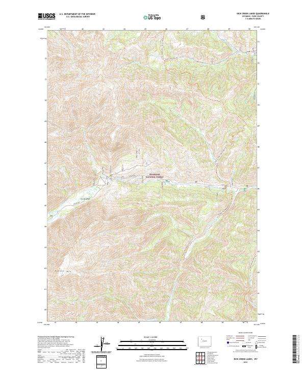
2021 Dick Creek Lakes
Park County, WY
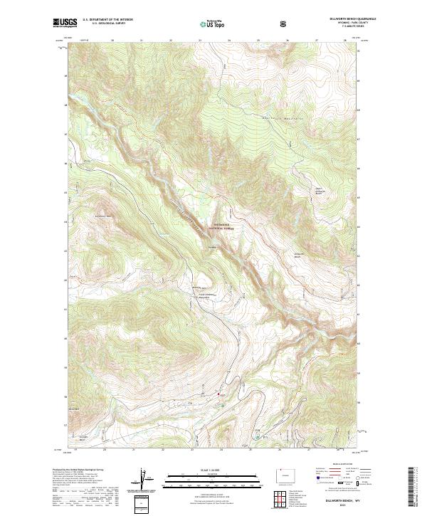
2021 Dillworth Bench
Park County, WY
2021 Divide Lake
Park County, WY
2021 Eagle Creek
Park County, WY
2021 Eaglenest Basin
Park County, WY
2021 Eagle Pass
Park County, WY
2021 Eagle Peak
Park County, WY
2021 Elk Basin NW
Park County, WY
2021 Elk Basin
Park County, WY
2021 Elk Basin SE
Park County, WY
2021 Elk Basin SW
Park County, WY
2021 Elk Butte
Park County, WY
2021 Elkhorn Peak
Park County, WY
2021 Fall Creek
Park County, WY
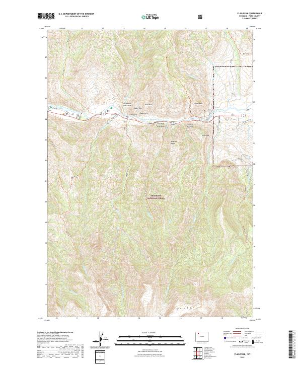
2021 Flag Peak
Park County, WY
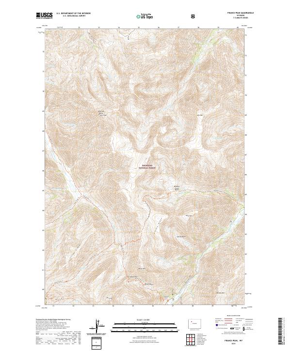
2021 Francs Peak
Park County, WY
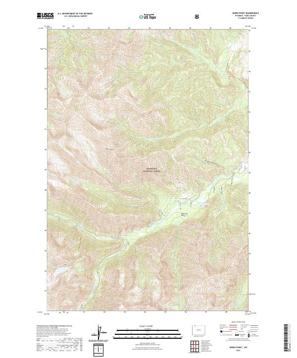
2021 Geers Point
Park County, WY
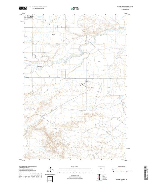
2021 Gilmore Hill NW
Park County, WY
2021 Gilmore Hill
Park County, WY
2021 Goff Lake
Park County, WY
2021 Hardluck Mountain
Park County, WY
2021 Horner Creek
Park County, WY
2021 Hunter Peak
Park County, WY
2021 Hurricane Mesa
Park County, WY
2021 Indian Pass
Park County, WY
2021 Irish Rock
Park County, WY
2021 Irma Flats
Park County, WY
2021 Iron Creek
Park County, WY
2021 Jaggar Peak
Park County, WY
2021 Jim Mountain
Park County, WY
2021 Jim Smith Peak
Park County, WY
2021 Joseph Peak
Park County, WY
2021 Lake Butte
Park County, WY
2021 Lake Creek
Park County, WY
2021 Lamar Canyon
Park County, WY
2021 Little Buffalo Basin
Park County, WY
2021 Little Saddle Mountain
Park County, WY
2021 Logan Mountain
Park County, WY
2021 Madison Junction
Park County, WY

2021 Meeteetse East
Park County, WY
2021 Meeteetse West
Park County, WY
2021 Mount Burwell
Park County, WY
2021 Mount Chittenden
Park County, WY
2021 Mount Holmes
Park County, WY
2021 Mount Hornaday
Park County, WY
2021 Mount Jackson
Park County, WY
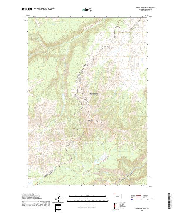
2021 Mount Washburn
Park County, WY
2021 Muddy Creek
Park County, WY
2021 Needle Mountain
Park County, WY
2021 Noon Point
Park County, WY
2021 Norris Junction
Park County, WY
2021 North Bennett Creek
Park County, WY
2021 North Fork Pickett Creek
Park County, WY
2021 Obsidian Cliff
Park County, WY
2021 Opal Creek
Park County, WY
2021 Open Creek
Park County, WY
2021 Oregon Basin
Park County, WY
2021 Pahaska Tepee
Park County, WY
2021 Pat O' Hara Mountain
Park County, WY
2021 Pelican Cone
Park County, WY
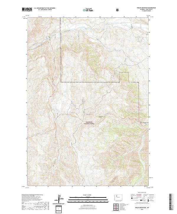
2021 Phelps Mountain
Park County, WY
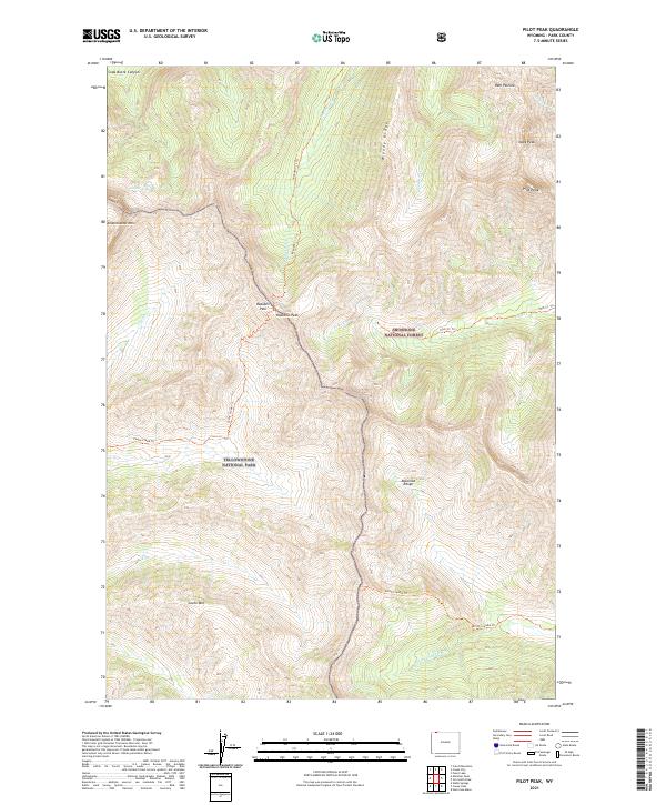
2021 Pilot Peak
Park County, WY
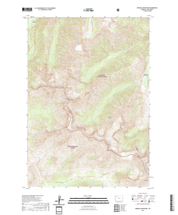
2021 Pinnacle Mountain
Park County, WY
2021 Pitchfork
Park County, WY

2021 Plenty Coups Peak
Park County, WY
2021 Pollux Peak
Park County, WY
2021 Ptarmigan Mountain
Park County, WY
2021 Quadrant Mountain
Park County, WY
2021 Sheep Mesa
Park County, WY
2021 Sheets Flat
Park County, WY
2021 Shoshone Canyon
Park County, WY
2021 Sleepers Ranch
Park County, WY
2021 Stinkingwater Peak
Park County, WY
2021 Stone Barn Camp
Park County, WY
2021 Sunlight Peak
Park County, WY
2021 Sunshine Reservoir
Park County, WY
2021 Sylvan Lake
Park County, WY
2021 The Trident
Park County, WY
2021 Thomas Reservoir
Park County, WY
2021 Thorofare Buttes
Park County, WY
2021 Thorofare Plateau
Park County, WY
2021 Three Rivers Peak
Park County, WY

2021 Tonopah Ridge
Park County, WY
2021 Tower Junction
Park County, WY

2021 Trail Lake
Park County, WY
2021 Twin Creek
Park County, WY
2021 Valley
Park County, WY
2021 Vocation
Park County, WY
2021 Wahb Springs
Park County, WY
2021 Wapiti
Park County, WY
2021 White Lake
Park County, WY
2021 Wilson Spring
Park County, WY
2021 Windy Mountain
Park County, WY
2021 Yellow Mountain
Park County, WY
2021 Younts Peak
Park County, WY
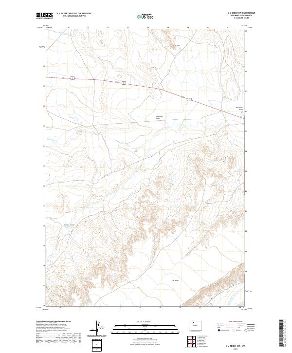
2021 Y U Bench NW
Park County, WY
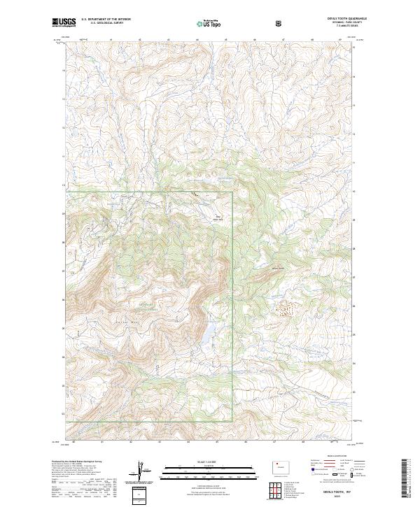
2023 Devils Tooth
Park County, WY
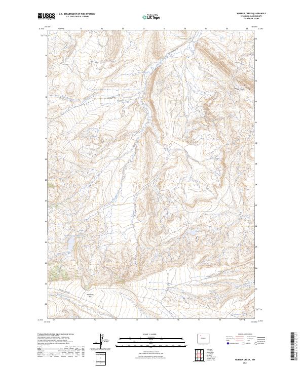
2023 Horner Creek
Park County, WY
2023 Hunter Peak
Park County, WY
2023 Jim Smith Peak
Park County, WY
2023 Muddy Creek
Park County, WY
2023 Wilson Spring
Park County, WY