
1961 Map of Dead Woman Crossing
USGS Topo · Published 1965About this map
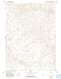
The namesake Dead Woman Crossing serves as a focal point for this landscape in the early 1960s, where the high plains of Wyoming meet an active energy frontier. The terrain is characterized by a dense network of intermittent waterways including Salt Creek, Meadow Creek, and the long Dugout Gulch. Industrial development is evident across the northern half of the sheet, defined by the extensive West Sussex Dugout Oil Field and the Sussex Oil Field. Scattered throughout these fields are numerous Oil Wells and Drill Holes, showing the intensive extraction efforts of the era.
Find a feature on this map
19 named features on this map. Tap any name to fly to it.
Don’t see what you’re looking for? This feature index may not catch every label — zoom into the map to look around manually.
Map Details
Editions of this 1961 Dead Woman Crossing Map
2 editions found
Other maps of this area

1954 · House Creek
USGS Topo · 1:24,000

1954 · Linch
USGS Topo · 1:24,000

1955 · Arminto
USGS Topo · 1:250,000

1958 · Arminto
USGS Topo · 1:250,000

1959 · Edgerton
USGS Topo · 1:62,500

1961 · Figure 8 Reservoir
USGS Topo · 1:24,000

1961 · Dugout Ranch
USGS Topo · 1:24,000
1961 · Sussex
USGS Topo · 1:24,000

1962 · Arminto
USGS Topo · 1:250,000

1968 · Midwest
USGS Topo · 1:24,000