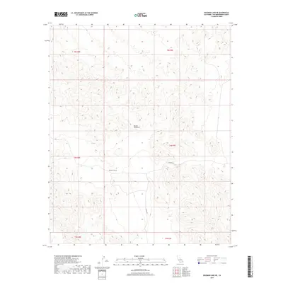
2018 Map of Deadman Lake NE
USGS Topo · Published 2018About this map
The Bullion Mountains dominate this 2018 topographic landscape, situated within a specialized section of the Mojave Desert in San Bernardino County. The area is defined by sharp elevation changes and deep ridgelines, typical of this arid interior province. Apart from the natural terrain, the primary human corridor through the region is the Bagdad Hwy, which cuts across the central and southern portions of the quadrangle. The map is heavily gridded with Bureau of Land Management township and range boundaries, including t4n r9e and t5n r9e, reflecting the structured parceling of public land in the California desert. The lack of named settlements or seasonal water features emphasizes the high-desert character of the terrain, where land management and infrastructure are focused on simple passage and topographical survey.
Find a feature on this map
9 named features on this map. Tap any name to fly to it.
Don’t see what you’re looking for? This feature index may not catch every label — zoom into the map to look around manually.
Map Details
Editions of this 2018 Deadman Lake NE Map
This is the sole edition of this map. No revisions or reprints were ever made.
Other maps of this area

1942 · Amboy
USGS Topo · 1:250,000

1943 · Amboy
USGS Topo · 1:250,000

1953 · San Bernardino
USGS Topo · 1:250,000

1954 · Needles
USGS Topo · 1:250,000

1954 · Bagdad SW
USGS Topo · 1:24,000

1954 · Ludlow SE
USGS Topo · 1:24,000

1955 · Deadman Lake NW
USGS Topo · 1:24,000

1955 · Morgans Well
USGS Topo · 1:24,000

1955 · Lead Mountain
USGS Topo · 1:24,000

1955 · Deadman Lake SE
USGS Topo · 1:24,000