
1955 Map of Lead Mountain
USGS Topo · Published 1955About this map
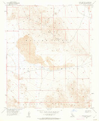
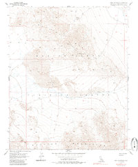
The Bullion Mountains dominate this mid-century survey of the California high desert, revealing a landscape defined by volcanic activity and military utility. Extensive fields of Lava are recorded across the central and eastern portions of the sheet, while the northern reaches include early mining activity at the War Eagle Mine and several scattered Prospects. Much of the territory falls within the Marine Corps Training Center, reflecting the region's mid-century role as a strategic military range. The map documents the primitive infrastructure of the era, marked by a network of trails and a single Jeep Trail that wind through the steep, arid terrain between various survey benchmarks like Vabm 2891 and the VABM 1675 Sign.
Find a feature on this map
19 named features on this map. Tap any name to fly to it.
Don’t see what you’re looking for? This feature index may not catch every label — zoom into the map to look around manually.
Map Details
Editions of this 1955 Lead Mountain Map
3 editions found
Other maps of this area

1942 · Amboy
USGS Topo · 1:250,000

1943 · Amboy
USGS Topo · 1:250,000

1953 · San Bernardino
USGS Topo · 1:250,000

1954 · Needles
USGS Topo · 1:250,000

1954 · Amboy Crater
USGS Topo · 1:24,000

1954 · Bagdad SW
USGS Topo · 1:24,000

1954 · Ludlow SE
USGS Topo · 1:24,000

1955 · Deadman Lake SE
USGS Topo · 1:24,000

1955 · Lead Mtn. NE
USGS Topo · 1:24,000

1955 · Deadman Lake NE
USGS Topo · 1:24,000