
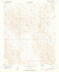
1955 Map of Deadman Lake NE
USGS Topo · Published 1955About this map
The Bullion Mountains dominate this 1955 topographical study, presenting a landscape defined by dramatic elevation changes and arid drainage patterns. Located in San Bernardino County, the area is characterized by its isolation and lack of permanent settlements or infrastructure, emphasizing the physical geography of the High Desert. Notable survey markers such as VABM Rough 2894 and Usmm 135 provide specific navigational and elevation data for this corner of the California desert. The intricate contour lines detail a network of dry washes and high ridgelines, typical of the Mojave's interior ranges before significant modern human intervention or large-scale military installation footprints were established in this specific quadrangle.
Find a feature on this map
3 named features on this map. Tap any name to fly to it.
Don’t see what you’re looking for? This feature index may not catch every label — zoom into the map to look around manually.
Map Details
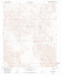
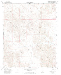
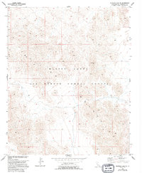
Editions of this 1955 Deadman Lake NE Map
5 editions found
Other maps of this area

1942 · Amboy
USGS Topo · 1:250,000

1943 · Amboy
USGS Topo · 1:250,000

1953 · San Bernardino
USGS Topo · 1:250,000

1954 · Needles
USGS Topo · 1:250,000

1954 · Bagdad SW
USGS Topo · 1:24,000

1954 · Ludlow SE
USGS Topo · 1:24,000

1955 · Deadman Lake NW
USGS Topo · 1:24,000

1955 · Morgans Well
USGS Topo · 1:24,000

1955 · Lead Mountain
USGS Topo · 1:24,000

1955 · Deadman Lake SE
USGS Topo · 1:24,000