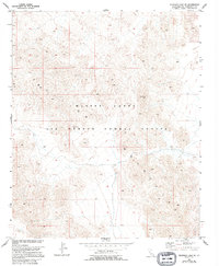
1955 Map of Deadman Lake NE
USGS Topo · Published 1994About this map
The Bullion Mountains dominate this high-desert landscape in San Bernardino County, a terrain defined by extensive ridgelines and dry basins. During the mid-1950s, this area was integrated into the Marine Corps Air Ground Combat Center, reflecting the post-war expansion of military training facilities in the California interior. The map identifies specific survey points such as VABM Rough and Usmm 135, which served as critical benchmarks for documenting this difficult-to-navigate territory. The sparse labels and absence of permanent civilian settlements highlight the transition of the land from open desert range to a specialized military installation used for large-scale maneuvers and combat readiness training.
Find a feature on this map
4 named features on this map. Tap any name to fly to it.
Don’t see what you’re looking for? This feature index may not catch every label — zoom into the map to look around manually.
Map Details
Editions of this 1955 Deadman Lake NE Map
5 editions found

Other maps of this area

1942 · Amboy
USGS Topo · 1:250,000

1943 · Amboy
USGS Topo · 1:250,000

1953 · San Bernardino
USGS Topo · 1:250,000

1954 · Needles
USGS Topo · 1:250,000

1954 · Bagdad SW
USGS Topo · 1:24,000

1954 · Ludlow SE
USGS Topo · 1:24,000

1955 · Deadman Lake NW
USGS Topo · 1:24,000

1955 · Morgans Well
USGS Topo · 1:24,000

1955 · Lead Mountain
USGS Topo · 1:24,000

1955 · Deadman Lake SE
USGS Topo · 1:24,000