
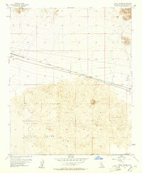
1954 Map of Amboy Crater
USGS Topo · Published 1955About this map
The cinder cone of Amboy Crater dominates the center of this 1954 survey, rising out of a wide field of lava in the San Bernardino desert. This geological landmark sits just south of the main transportation corridor, where the Atchison Topeka and Santa Fe railroad and the iconic Highway 66 cut through the arid landscape. The settlement of Bagdad appears as a small outpost along the rails, complete with its own Cemetery, while a nearby Landing Field reflects the mid-century infrastructure of the Mojave.
Find a feature on this map
15 named features on this map. Tap any name to fly to it.
Don’t see what you’re looking for? This feature index may not catch every label — zoom into the map to look around manually.
Map Details
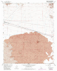
Editions of this 1954 Amboy Crater Map
3 editions found
Other maps of this area

1942 · Amboy
USGS Topo · 1:250,000

1943 · Amboy
USGS Topo · 1:250,000

1954 · Needles
USGS Topo · 1:250,000

1954 · Bristol Lake NW
USGS Topo · 1:24,000

1954 · Bagdad SW
USGS Topo · 1:24,000

1955 · Lead Mountain
USGS Topo · 1:24,000

1955 · Lead Mtn. NE
USGS Topo · 1:24,000

1955 · Lead Mountain
USGS Topo · 1:62,500

1956 · Needles
USGS Topo · 1:250,000

1956 · Bristol Lake
USGS Topo · 1:62,500